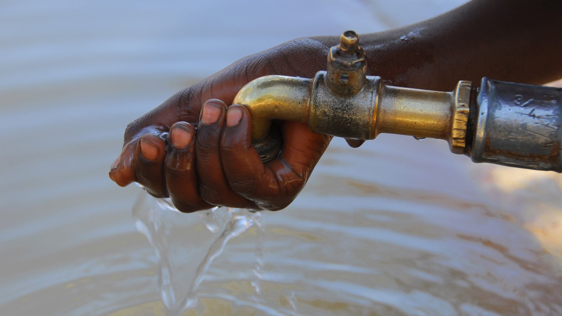
North Carolina Utility Uses ArcGIS to Make Drinking Water Safer
Esri partner Black & Veatch’s LCRR program management platform helps inventory water pipes for lead and copper and keep the public informed.
Esri partner Black & Veatch’s LCRR program management platform helps inventory water pipes for lead and copper and keep the public informed.
More than 100 ecosystem restoration projects seek to safeguard many unique and endangered plant and insect species in Nebraska.
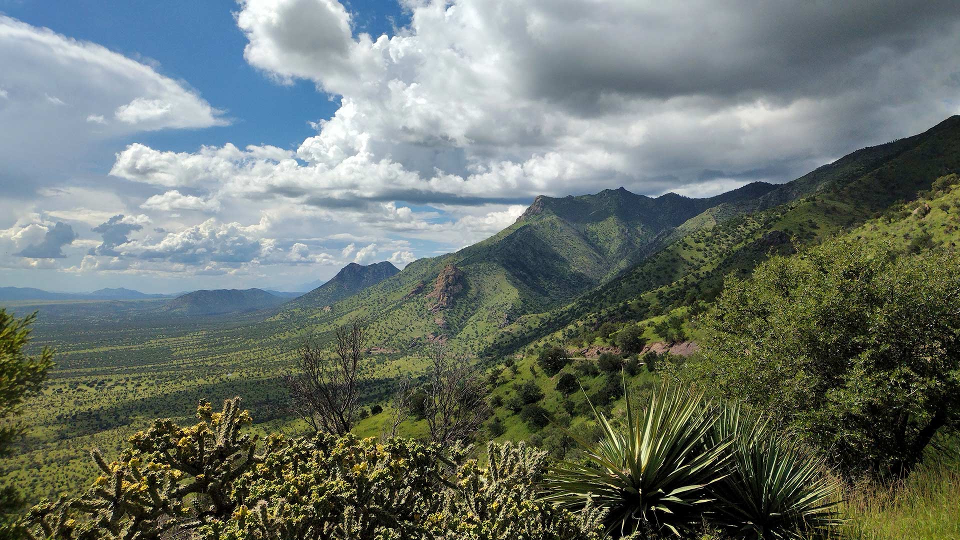
ArcGIS Image for ArcGIS Online helps scientists track land subsidence in Arizona’s Willcox Groundwater Basin.
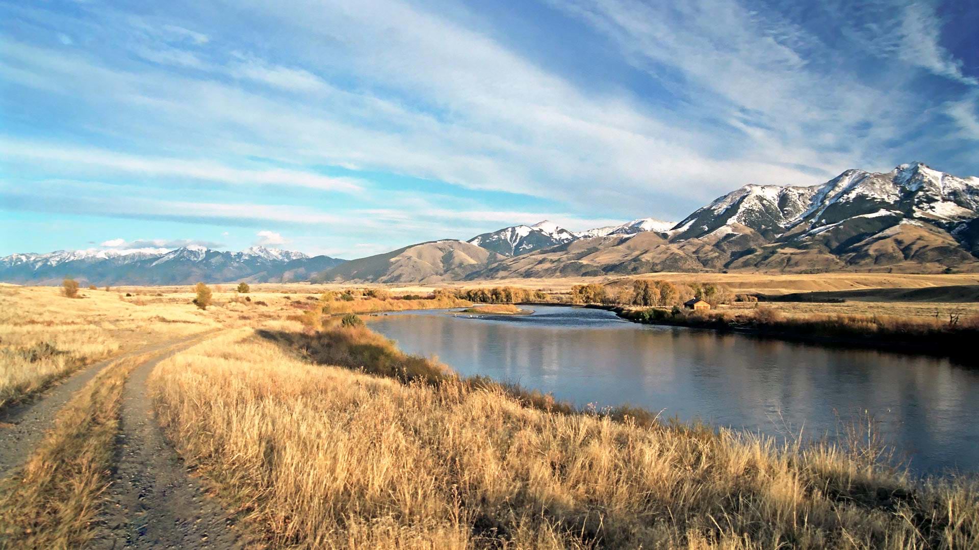
The DNRC’s app allows users to easily examine the state’s surface water locations and get detailed reports about streamflows.
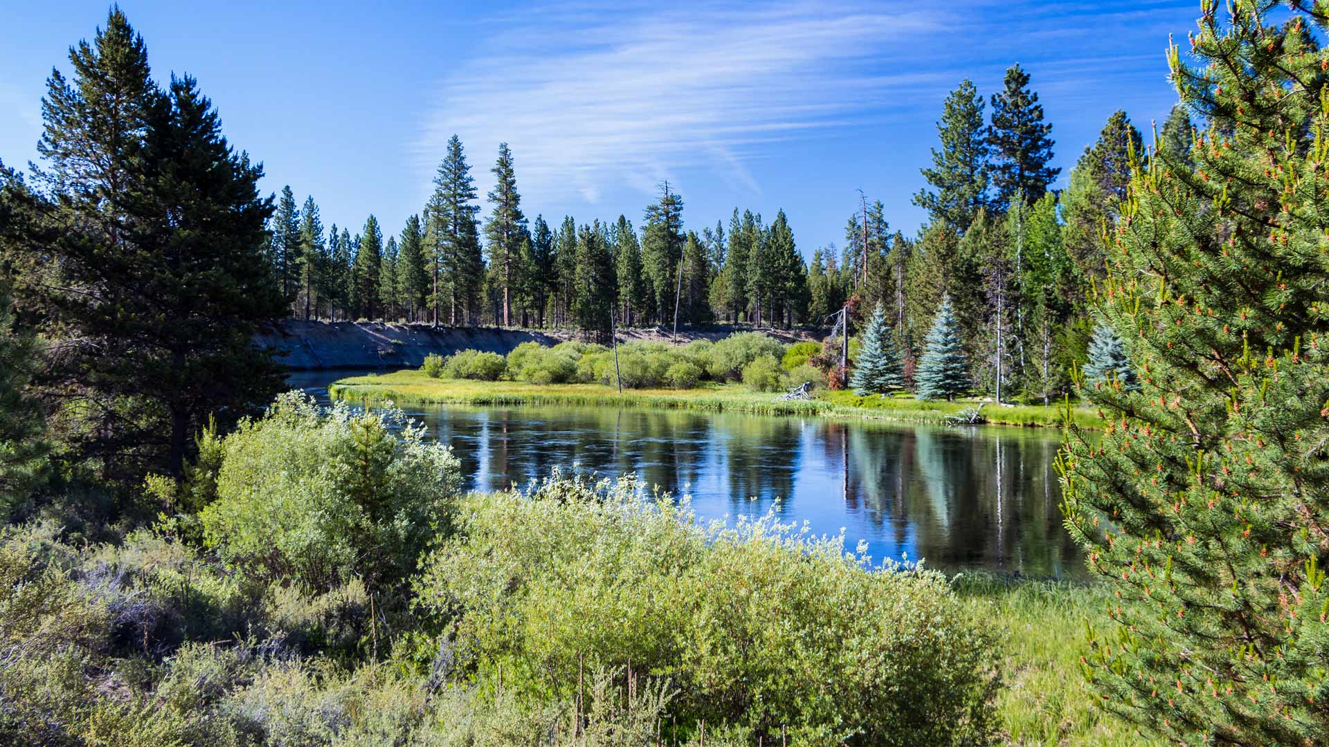
To track assets and workflows along with customer billing information, Sunriver Utilities turned to Elements XS from Esri partner Novotx.
The easy-to-use web app sends key metrics to local governments, informing future actions they can take to ensure good water quality.
Using a custom web map to investigate illegal water connections, Maynilad Water Services has recovered $410,000 in commercial losses.
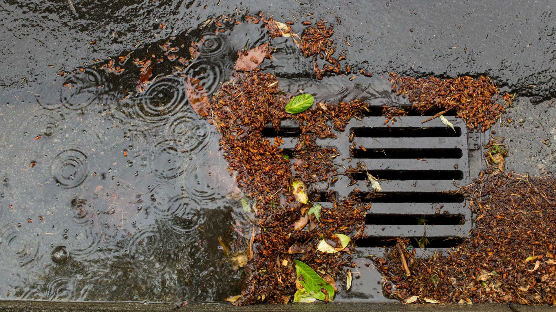
A comprehensive, ArcGIS technology-based solution helps Carlsbad, California, keep up with maintenance on pollution-catching structures.
To identify areas with inadequate facilities, the organization used GIS at the village level—and is making progress in improving assets.
A comprehensive ArcGIS Hub site aggregates data on waterways, making it accessible to the public and easier to use for collaboration.
The Lower Valley Water District adopted a GIS-centric approach to investigating unusual spikes in water use in El Paso County, Texas.
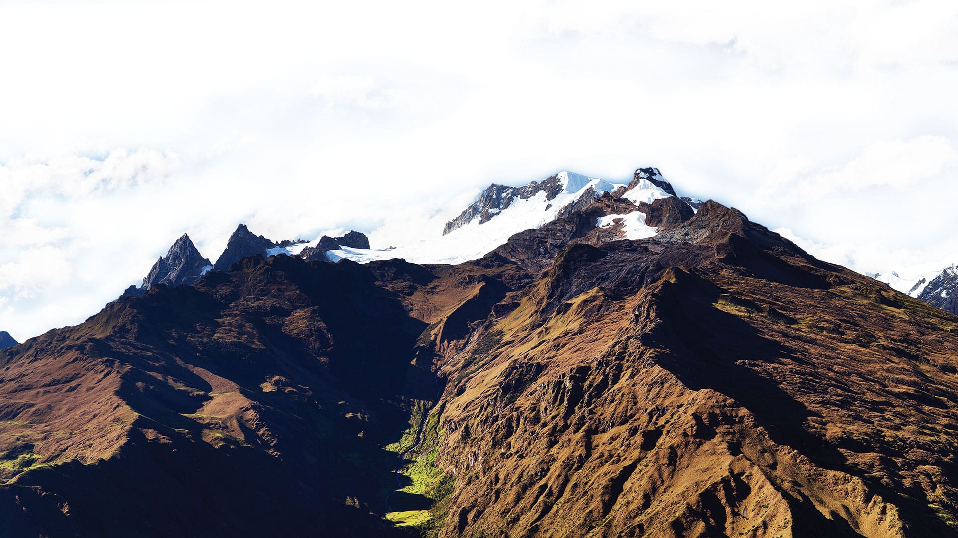
AASD and engineering students used GIS to study water scarcity in one Peruvian community to help other societies in similar situations.