Each year on April 22, people around the world celebrate Earth Day, an important tradition that began in 1970 when 20 million people gathered across the United States to protest the effects of more than a century and a half of industrial development. Earth Day began as an environmental movement to preserve the planet for future generations, and as the world continues to face significant challenges, including climate change, deforestation, and loss of species, people are thinking up new ways to make a positive impact.

In honor of the 50th anniversary of Earth Day, a diverse collective of organizations spearheaded by the United States Department of State, Earth Day Network, and the Wilson Center—organized in support of a new initiative to help clean up the planet. The group set out to create a mobile app that the public could employ to collect billions of data points that can be used in both new and ongoing citizen science projects.
Esri partner GeoMarvel, an Alexandria, Virginia-based geospatial software development company that specializes in GIS-focused cloud infrastructure, data analysis, and mobile app development, was tasked with designing the app and implementing its associated citizen science cloud. Using ArcGIS AppStudio, GeoMarvel was able to configure and scale cross-platform software and create mobile data collection widgets that it deployed directly to the app. Now, hundreds of thousands of users around the world can use it to easily collect and submit data, view global submissions, access educational materials, and take action.
Building a Mobile App Unconventionally
Dr. Anne Bowser, director of innovation at the Wilson Center, an independent research firm, enlisted GeoMarvel to design the new citizen science mobile app. According to Jon Nordling, CEO of GeoMarvel, the overall mission of the app is to collect massive amounts of citizen data to gain a better understanding of key environmental issues, such as plastics pollution, air quality, insect populations, and food supplies.

From the outset, the GeoMarvel team faced a unique challenge: the app concepts it received from other partners in the project lacked implementation architecture, and because the data was going to be sourced from citizen scientists all over the world, the geospatial aspect of it was paramount. Additionally, because new research questions—and, thus, widgets—would be continually added to the app, GeoMarvel needed to be able to scale quickly and effectively while incorporating geospatial components that citizens could use to gather accurate location data.
The conventional methods used to build mobile apps are time-consuming and involve numerous steps. As Nordling pointed out, adding a new component to an app usually entails updating specific code, adding new assets, increasing the version, building a new file, and going through an app store review process for each change made.
GeoMarvel needed a solution that would streamline app development and provide an easier way to introduce new features for data collection. So the team chose AppStudio to build the new Earth Challenge 2020 (EC 2020) app.
“Making citizen science into an application isn’t easy—not from the design, concept, or build,” said Nordling. “Using [AppStudio] has been a great decision. The feedback has been extremely positive.”
Making App Development Easy

AppStudio is a low-code platform that allows users to create geoenabled cross-platform native apps. According to Nordling, AppStudio allowed the GeoMarvel team to get EC 2020 to market quickly, enabling citizen scientists to begin data collection fast. In addition, being able to deploy the app via ArcGIS AppStudio Player, which allows developers to view their AppStudio apps on real devices without doing a full build and deployment cycle, made it easier to get EC 2020 on both the iOS and Android platforms.
“From a mobile application development standpoint, the underlying inner workings of AppStudio Player were the real reason that we chose AppStudio,” said Nordling. “AppStudio gave us the ability to create geoenabled collection widgets without having to go through repetitive technical hurdles to get there.”
The GeoMarvel team initially created two widgets within the app—one focusing on plastics pollution, and the other on air quality. Kevin Cheriyan, an application developer for GeoMarvel, said the online resources for AppStudio were very helpful in constructing EC 2020, especially the documentation and the ready-to-use templates in the AppStudio template gallery.
“We were able to utilize [the templates] to our advantage and see how other robust applications were using recommended code,” said Cheriyan. “We also had to be familiar with the documentation on Esri’s ArcGIS framework sections and general AppStudio tutorials. Along with the templates, I think they really helped us take the app to the next level.”
Empowering More Citizen Scientists with Targeted Functionality

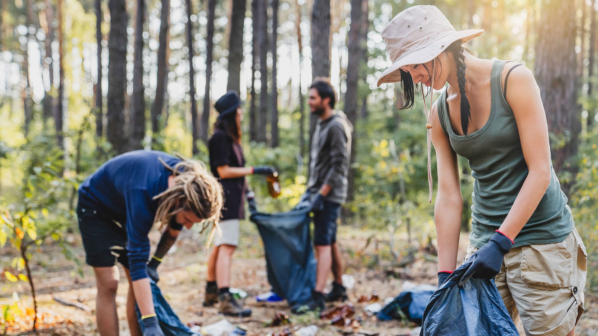
The way the app works is simple. Users select the research question they want to participate in, such as “What is the extent of plastics pollution?” and submit relevant data, like photos of plastic trash along with information about the types of plastic they found. As users participate, they unlock different features and functionality in the app. There are also educational materials, lesson plans, and geoenabled petitions that users can access to learn about local, environmentally focused legislation.
Since the initial deployment of EC 2020, the GeoMarvel team has used AppStudio to easily add new features, functionality, and research questions. This is empowering organizations around the world to introduce citizen science to a new generation of users.
And when it comes time to release or upgrade a widget, Nordling and his team can get the update directly to users without having to release an entirely new build to the app stores.
“[With] AppStudio…we [can] control releases through group share settings in ArcGIS Online and say, ‘We’re ready to deploy [the] Air Quality [widget] now. Let’s go ahead and share that [publicly] in AppStudio Player,’” said Nordling. Then, anyone with the EC 2020 app automatically gets the new widget.
This also helps GeoMarvel issue rapid fixes for bugs. “We now have an application that allows us to dynamically create and deploy [new widgets and updates] to users at any time,” said Corey Norris, business operations manager for GeoMarvel. “That’s really powerful.”
Additionally, AppStudio gave the team the ability to quickly test new features and easily discard them if needed.
“Speed was very helpful with this,” said Harman Hassan, an application developer for GeoMarvel. “We would be able to build out different features and tools and quickly test to see whether we liked them or not. If we did like [something], we kept it. If not, we removed it.”

Then the team would go back and add more on top of what was already built.
“We would work all day, put out a release, and then test on Android and iOS,” said Hassan. “This capability was my favorite part of using AppStudio.”
Nordling echoes that sentiment, stating that the group loved having the ability to write some quick code and then throw it away if warranted.
“We didn’t feel bad about doing that because there wasn’t any technical debt that we were [incurring],” said Nordling. “And our turnaround for new features is better because we can redo things without having to impact every little piece of the application. The functionality is targeted.”
Being Part of a Bigger Cause
App users have complimented the user experience on EC 2020, and that’s an added benefit of using AppStudio, according to Hassan.
“When my nontechnical friends have used the app, they would be able to easily take a photo of the sky, submit their data, see their point on the map, and click it to immediately see their image pop up. They have an interactive map on their mobile device that’s simplified,” he said. “I think that helps encourage people to go out there. You’re not just collecting data, sending it off, and then not seeing anything. You’re seeing data come in from people around the world, which reinforces the fact that you’re part of this bigger cause.”
Nordling said the team has received lots of positive feedback since launching EC 2020, and there are plans to introduce future research questions that focus on issues like water quality. Ultimately, he said, the goal of this initiative is to collect data to understand the planet better, so the project will likely be ongoing because there are always new problems to solve in the world.
“It’s not only about building the technology. It’s about knowing what’s coming and what’s possible for the future of this application and initiative,” said Nordling. “This is about building an application for users to participate in an ongoing, long-term citizen science effort. I hope it’s a project we’re a part of for a long time.”