Residents, Students, and Businesses Now Have Easy Access to Public Information
Brampton, a diverse and fast-growing city in Ontario’s Greater Toronto Area, boasts a population of just over 600,000, with residents working in key industries such as retail and business services, aerospace technology, and telecommunications equipment manufacturing. Known as the “flower city” due to its historical success in horticulture, the City of Brampton now has ambitious plans to become a connected city that is innovative, inclusive, and bold.
To get this effort off the ground, Brampton launched its first iteration of an open data portal in 2011. This was in response to the Ontario provincial government’s new requirement that all municipalities release their facilities’ energy consumption and greenhouse gas emissions data. In 2015, Brampton upgraded the portal to ArcGIS Open Data, where it initially hosted 15 datasets online. At the end of 2016, the city rebranded its open data portal as the Brampton GeoHub, which is now a comprehensive open data portal based on ArcGIS Hub technology.
Employees in Brampton’s information technology division understood that the city’s data was useful for residents, developers, and city employees and wanted to improve services through transparency and community engagement. The GeoHub quickly became the one place where anyone could view and acquire the city’s datasets—from asset, land-use, and infrastructure data to orthoimagery—as well as public data from the open data catalog.
“If you’re going through the effort to open data, make it useful, make it purposeful, and build awareness—not only to the public, external agencies, and business but also to staff,” said Matt Pietryszyn, the City of Brampton’s information technology team lead of GIS and open data. “It’s a great way to share authoritative information throughout the organization.”

In the first year of use, the city saved 588 hours of staff time by decreasing the number of data requests it received both from internal departments and members of the public. Given that the GeoHub now has almost 300 datasets (a big jump compared to the 15 it started with), Brampton has virtually eliminated the need to process data requests, saving staff exponentially more time.
Providing Transparency, Interacting with Citizens
Before GeoHub, Brampton city staff and residents struggled to find and use data. In most cases, the city’s internal teams or members of the public looked for data, downloaded a file, and then uploaded it into a system before they could view or analyze it—sometimes only then finding out that the data was not what they needed.
Since GeoHub’s launch, staff no longer have to respond to public requests for information on topics that range from health and safety to infrastructure, since residents, business owners, and students can now get what they need through the open data catalog. In addition, members of the public can leverage high-quality and authoritative datasets to make their own apps. Such access to data not only gives the community a chance to be part of the process, but it also helps the municipal government identify the types of data users want to see.
“We are not only providing transparency in service; it is also our aim to foster innovation and transformation in how we interact with our citizens,” said Joseph Pittari, commissioner of corporate services for the City of Brampton. “Through the GeoHub stories and mapping features, our residents can get a better understanding of their community and its surroundings.”
A Rising Star in Open Data
Brampton’s profile is rising as it sees increasing success with its open government efforts. It is already the second most open city in Ontario, beating out other Canadian stalwarts like Ottawa and Vancouver, according to Open Cities Index Results published by Public Sector Digest last year. Brampton also won the Canadian Open Data Rising Star 2017 award in the Canadian Open Data Awards.
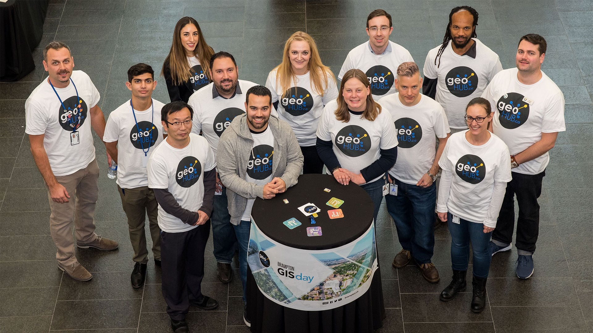
Its success can be attributed to the city’s hardworking GIS and open data team, supportive leadership, and collaborative internal departments. Brampton’s GIS and open data team is made up of 14 forward-thinking GIS professionals working toward the shared goal of distributing the city’s data and GIS tools to a wide audience so that city employees, local businesses, and residents can employ business intelligence and GIS services as typical capabilities.
“Promote your location platform everywhere—in every meeting and every hallway discussion,” advised Gaea Oake, the program manager for the GIS and open data team. “Meet new people in the organization and talk about data with staff you haven’t worked with in the past. Engage with the public. Data-driven governance and citizenship is gaining importance because it’s a quick way to begin connecting citizens to strategic initiatives and show them that cities are aware of where they’ve come from, have a strategy in place, and will be held accountable for moving forward.”
Brampton’s GIS and open data team has also worked tirelessly to educate city staff about what is available in GeoHub—from data and maps to visualizations and collaboration opportunities. Letting teams know that there is a central, authoritative location to find content for better decision-making has made a “really big impact,” said Pietryszyn.
It hasn’t been an easy journey to get departments to share their data. But things are changing, according to Pietryszyn.
“Through initiatives like the Smart City Challenge, hackathons, and other activities that aim to modernize how cities run their business, awareness is growing,” he said. “Municipal leaders are beginning to understand that when you make good, purposeful data available publicly, it’s easier for businesses to make the decision to locate in their city. Students have access to accurate and real-world data to analyze and understand their city. Small businesses benefit and are able to better grow the local economy.”
Pietryszyn said that the GIS and open data team is constantly working on adding more datasets to its open data catalog—influencing departments to release business data along with location data while also making sure that what’s being released is accurate, current, humanized, and purposeful.
Becoming Future Ready
Next on Brampton’s journey to becoming a smart community is putting its recently finished City Dashboard to good use. A public-facing performance dashboard, this online tool helps members of the community understand how the city’s day-to-day undertakings produce positive outcomes. Residents can monitor categories such as Finances and Assets, Community Well-Being, and Livability and see whether the city is meeting its targets or needs improvement. In the Economy section, for example, users can see that Brampton is working to improve the jobs-to-population ratio, while under Customer Service, residents can find out that the city is providing good-quality transit service, since it is meeting its target of only receiving one complaint per 10,700 rides.
Pietryszyn said that cities striving to become “future ready” through open data and more transparency need to embrace their GIS departments.
“Municipalities struggle to understand what their GIS can do for them, or just what it is exactly,” he said. “Recently, we’ve spent less time explaining to people what GIS is and more time showcasing apps and how we can partner to solve problems and make their data more purposeful through quick dashboards and visualizations to tell their business units’ stories. This is the biggest win across the organization for GIS. It doesn’t have to be complicated or time-consuming.”
Learn more about how the City of Brampton is thinking bigger. Follow @CityBrampton on Twitter and check out its Facebook page, too.