I have spoken of the rich years when the rainfall was plentiful. But there were dry years too, and they put a terror on the valley.
That is the Salinas Valley’s relationship with water, described by Salinas native John Steinbeck in his 1952 novel East of Eden. While California’s relationship with rainfall has always been prickly, water management has changed in the valley since Steinbeck’s time—arguably becoming even more critical to sustaining life in the arid American West.
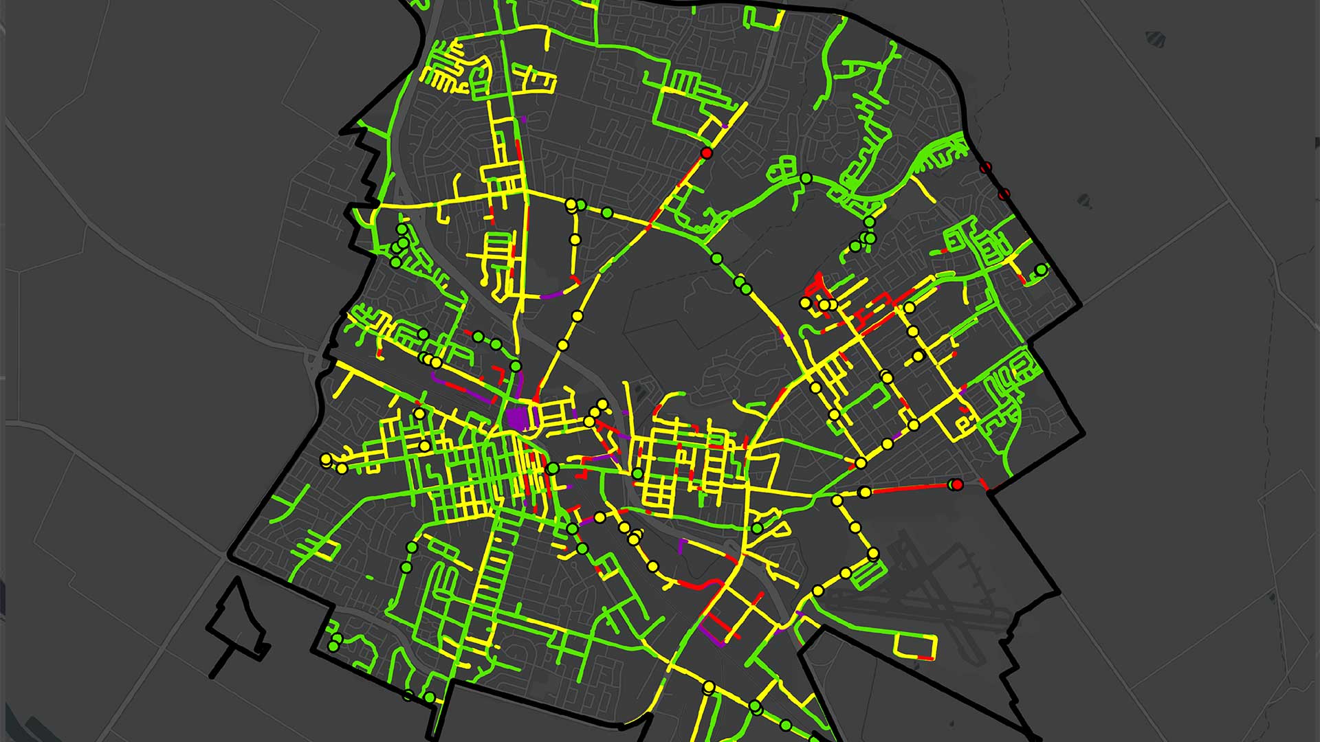
Located 60 miles south of Silicon Valley, the City of Salinas, California, is surrounded by agricultural fields yet is one of the state’s 50 most densely populated cities. For its water supply, Salinas relies exclusively on local groundwater. But because of decades of overpumping, that water source is now threatened by saltwater intrusion. Additionally, due to the high density of impervious groundcover in Salinas, the volume of stormwater runoff that leaves the city each year is excessive, amounting to a missed opportunity for the city to use this valuable resource to recharge its groundwater and supplement local water supplies. This urban runoff also carries pollutants and litter into local waterways—and every acre of land in Salinas drains into a stream that the Environmental Protection Agency (EPA) has designated as impaired.
To radically change how Salinas manages its stormwater, the city’s public works department has teamed up with Esri startup partner 2NDNATURE to better leverage ArcGIS to collect smarter data and streamline the workflows that undergird its regulatory reporting requirements.

Applying a Watershed Context
Typically, Salinas’s stormwater manager spends five months each year gathering data from 12 different city departments to comply with reporting requirements. For the 2016–2017 fiscal year, the city’s report to the Regional Water Quality Control Board exceeded 2,800 pages of narratives, lists, tables, and static maps.
City staff were frustrated by the inefficiency of this process and wanted to create actionable information to guide and justify their stormwater management decisions. In January 2017, the City of Salinas started using 2NFORM, a suite of software from 2NDNATURE that works in step with ArcGIS Online to help public works departments conduct inspections and process data in compliance with their National Pollutant Discharge Elimination System (NPDES) permits—regulations that stem from the federal Clean Water Act of 1972 and require cities to protect local waterways.
Salinas implemented 2NFORM to make data collection and management more efficient and to effectively communicate the benefits of its stormwater compliance program within and across city agencies. The fit-for-purpose software integrates topography with city storm drain networks, linking urban landscapes to the waterways into which they drain. This hydrographic foundation empowers Salinas’s stormwater managers to apply a watershed context to all their stormwater decisions and regulatory reporting.
Conducting Better Evaluations
One key feature of 2NFORM is that it enables city staff to monitor and evaluate best management practices (BMPs), which are various activities municipalities undertake to control the effects the urban landscape has on water resources. In Salinas, the city and private landowners implement various BMPs—such as street sweeping, litter reduction programs, pollution prevention initiatives, and green infrastructure development—to either control runoff and pollutants at the source or to intercept, capture, and remove pollutants from stormwater runoff.
With 2NFORM, Salinas is building a stormwater asset database. City staff catalog BMPs by location and type so that public works can see exactly where they are. While permit regulations require cities to periodically inspect public and private BMPs to demonstrate that they are working, there is typically no uniformity to these inspections, and they are not grounded in geospatial-based record-keeping systems. So cities don’t always know what improvements need to be made, or where.

Now, city staff employ 2NFORM’s custom-built rapid assessment methods, or RAMs, to generate objective, standardized, and repeatable evaluations of how BMPs are functioning. The 2NFORM RAMs can be conducted using both Collector for ArcGIS and Survey123 for ArcGIS to record uniform data about each BMP via standardized inspections.
To evaluate the effectiveness of litter controls, such as street sweeping, education and outreach, and adopt-a-street programs, two employees now drive inspection routes with continuous collection (or the “breadcrumb trail” feature) enabled in Collector. This allows them to trace their path while recording how much litter is on the route, which reduces the time it takes to both do inspections and input data manually. Evaluating a bioretention system—like a rain garden that traps rain runoff in a vegetated area to absorb some of the water and release cleaner runoff into the stormwater system—is now completed by public works employees using RAM field inspection forms in Survey123 that make assessments simple, repeatable, and rapid. What’s more, anyone in Salinas can conduct litter surveys using the Survey123 trash inspection form that is compatible with 2NFORM. After downloading the form, they can quickly and easily document how much litter there is, where, and when they see it.
All this inspection information feeds directly into 2NFORM, which enables the public works department to conduct additional geospatial analytics and evaluate where it needs to focus maintenance efforts or make improvements.
Quantifying Reductions in Runoff and Pollution
Beyond stormwater asset management, 2NFORM models stormwater runoff and pollutant loading as well using the Tool to Estimate Load Reductions, or TELR. Employing publicly available datasets—such as the Natural Resources Conservation Service’s (NRCS) soils survey, the United States Geological Survey’s (USGS) impervious land-cover data, and local precipitation data—TELR provides Salinas with estimates of the average amount of stormwater runoff and pollutants that get delivered to every local waterway each year.
Once these baseline estimates are calculated, TELR employs the city’s BMP inspection results to evaluate whether the private and public BMPs implemented throughout the city are reducing runoff and pollutant loading. This gives Salinas the ability to track how well its stormwater initiatives and methods are working. It also helps the city actively manage locations and solutions that are not functioning appropriately so it can better protect and improve local waterways.
TELR can be used on a wider scale, too. To demonstrate the benefits of harvesting stormwater, 2NDNATURE created an Esri Story Maps app called CA Stormwater Opportunity that shows the TELR-generated average annual stormwater runoff for communities all over California.
Sharing Progress and Priorities
Now that Salinas’s public works department can visualize the spatial patterns of stormwater runoff and pollutants via ArcGIS Online in 2NFORM, the city can easily communicate program priorities and progress among departments and even to the public. Mapped results make it simple for anyone to see where the city has achieved its runoff and pollutant control objectives, as well as where more improvements are needed.
All the map-based tools available from 2NDNATURE also give Salinas a standardized way to complete its annual compliance reporting and ensure that it is actually implementing effective actions that reduce excess stormwater runoff, litter, and other pollutants from ending up in its waterways. Furthermore, public works staff are saving hundreds of hours collecting and managing the data they need to comply with regulations.
More Stormwater Information for More People
Since 2NDNATURE launched 2NFORM in early 2017, 30 California municipalities have adopted it. And state regulators now review submitted municipal records directly within 2NFORM via read-only access.
By leveraging the powerful web-based infrastructure of ArcGIS Online, science-based stormwater information is now more accessible to many more people. This empowers cities to make smart decisions about stormwater that can reduce the impact of urban development and restore hydrologic function to urban watersheds.