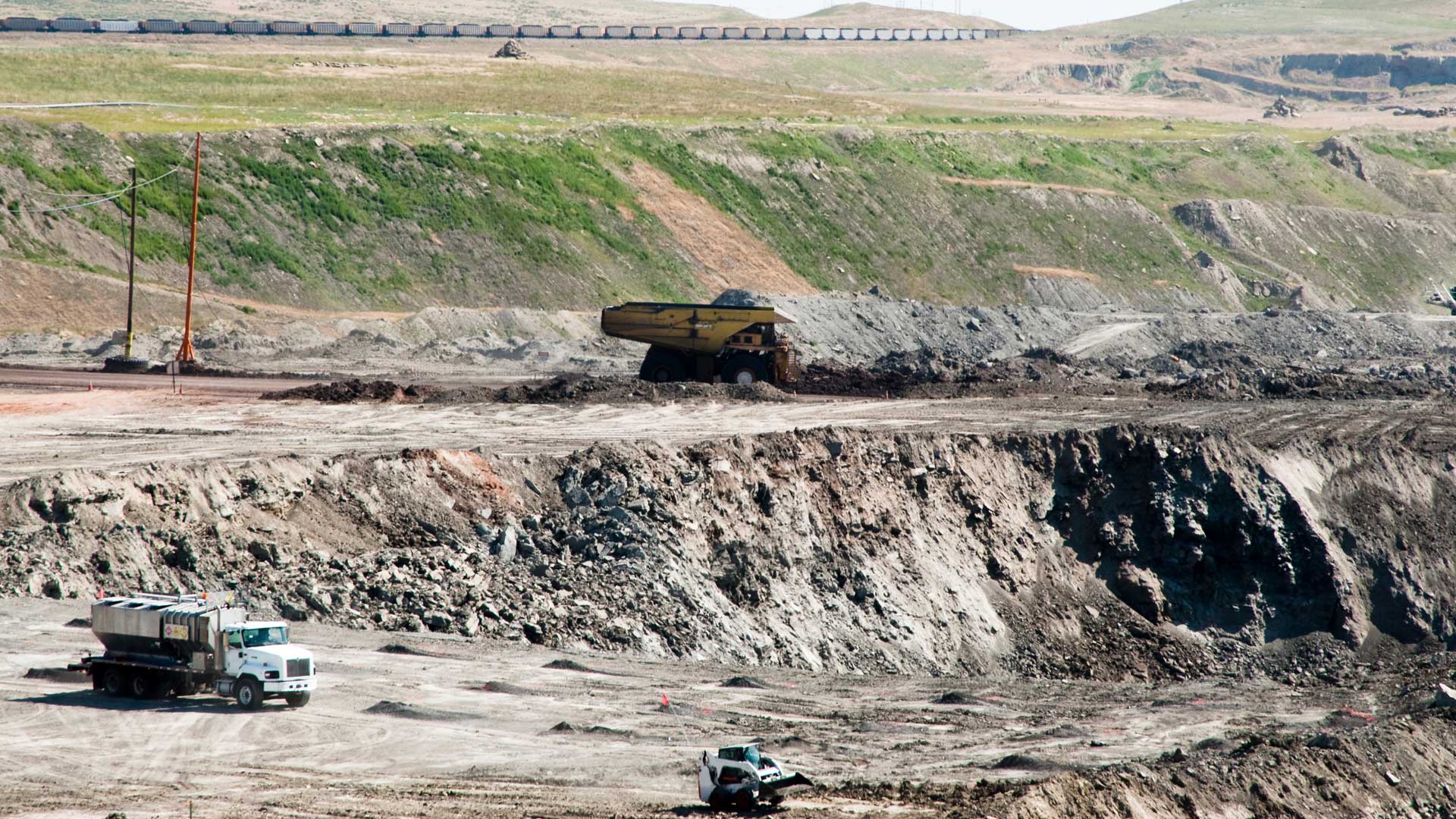
In Wyoming, the Abandoned Mine Land (AML) program oversees the reclamation of lands with unused mines on them and works to restore those areas to safety. For abandoned mines that are at risk of collapsing, AML can conduct grouting operations. This is when holes are drilled into old mines and filled with a cement-like mixture to reduce the likelihood that the roofs of the mines will cave in. But these operations can cause ground movement in the areas where they’re being done. What’s more, subsidence—or the gradual sinking of land—can happen when mine roofs fail, leading to sinkholes that form near infrastructure and towns.

To help monitor ground movement and subsidence of old mines in Wyoming’s Carbon and Converse Counties, AML works with the aerial mapping program at Esri partner Brierley Associates. Site Scan for ArcGIS plays a critical role in processing imagery of these areas, so project managers, engineers, geologists, GIS analysts, and other staff members at AML can use aerial mapping and oblique imagery to manage their projects.
Strained Storage Capacity Leads to a Cloud-Based Solution
Bierley’s GIS team needed an efficient way to upload imagery to a cloud-based solution so it could process, analyze, view, and share imagery products with AML engineering staff. Normally, the GIS team used ArcGIS Drone2Map for image processing. However, the amount of imagery that Brierley was collecting for AML strained the storage capacity of Brierley’s servers. So the team needed a better way to manage the imagery being collected and processed.
When Site Scan became an option for Brierley in October 2021, the company’s GIS team uploaded several years’ worth of AML’s imagery to the cloud-based software. Processing the imagery was quick, and the team was able to produce 2D and 3D products that it could share with anyone who was granted viewing privileges by the administrator. This allowed staff at AML to view and track a project’s status on a weekly basis using high-resolution, high-accuracy image products.
Some of the products derived from the aerial imagery of mines in Carbon and Converse Counties include orthomosaics, digital terrain models, digital surface models, contours, volumetric calculations, cut-and-fill operations, hillshades, and 3D mesh scenes. All of these—which employ ground control points to ensure accuracy—help leaders at AML plan projects and make decisions.

Having the ability to share these products with anyone who has access to them, as well as directly with various ArcGIS Online accounts (and other cloud-based platforms), has enabled Brierley’s aerial mapping program to present its products to a much wider audience than before.
The Benefits of Using Site Scan for ArcGIS
While there are many advantages to using Site Scan, the main benefits for Brierley have been threefold. First, the software has ample storage capacity for imagery and imagery products. Second, using Site Scan allows the GIS team to easily share imagery products. And third, Site Scan incorporates volumetric calculations into analysis, which is required by AML’s engineering and geology staff members so that they can assess potential subsidence features and make critical decisions about current and future projects.
From the client’s perspective, the products generated by Site Scan enable staff members at AML to easily manage and track the daily progress of various projects without having to leave their offices. This saves them the time it takes to drive out to project sites and conduct field visits.
Because Site Scan makes high-resolution imagery easily accessible from within the product or ArcGIS Online, it is Brierley’s goal to use up-to-date aerial imagery orthomosaics for every map and figure it provides to AML. This will ensure better data quality for analysis and presentation purposes.
A Small GIS Shop Gets Transformed
Site Scan has enabled Brierley’s small GIS shop to morph into a full-fledged photogrammetric mapping department that offers oblique imagery and aerial and thermal imagery mapping. Being able to store, process, analyze, and share aerial mapping products in the cloud has been pivotal for the Brierley GIS team and the project managers who have been working with AML.

Thanks to Site Scan, the team at Brierley can now create products for various clients that demand high-resolution imagery and give them access those products anywhere, anytime.
“Site Scan has been a game changer for our mapping program,” said David Hibbard, project geologist at Brierley Associates. “[It] has allowed me to visualize the activities at a project site and to analyze progress on a regular basis.”
“Site Scan for ArcGIS in a one-stop shop for all of Brierley’s aerial mapping products,” added Cory Ott, senior GIS analyst at Brierley Associates. “The ease of storing, processing, and sharing aerial imagery products has provided the GIS team with more services offered to our clients and engineers.”
For more information about Brierley Associates’ use of Site Scan for ArcGIS, email Brierley remote sensing specialist Shane Zentner at szentner@brierleyassociates.com.