Over the past 18 months, business leaders have had to rethink work culture and how their organizations utilize space. Throughout the COVID-19 pandemic, many businesses have continued to run smoothly with employees working largely from home. And with the recurrent rise of worrying COVID-19 variants, several large companies have had to reevaluate when—and how—to have employees return to the office.
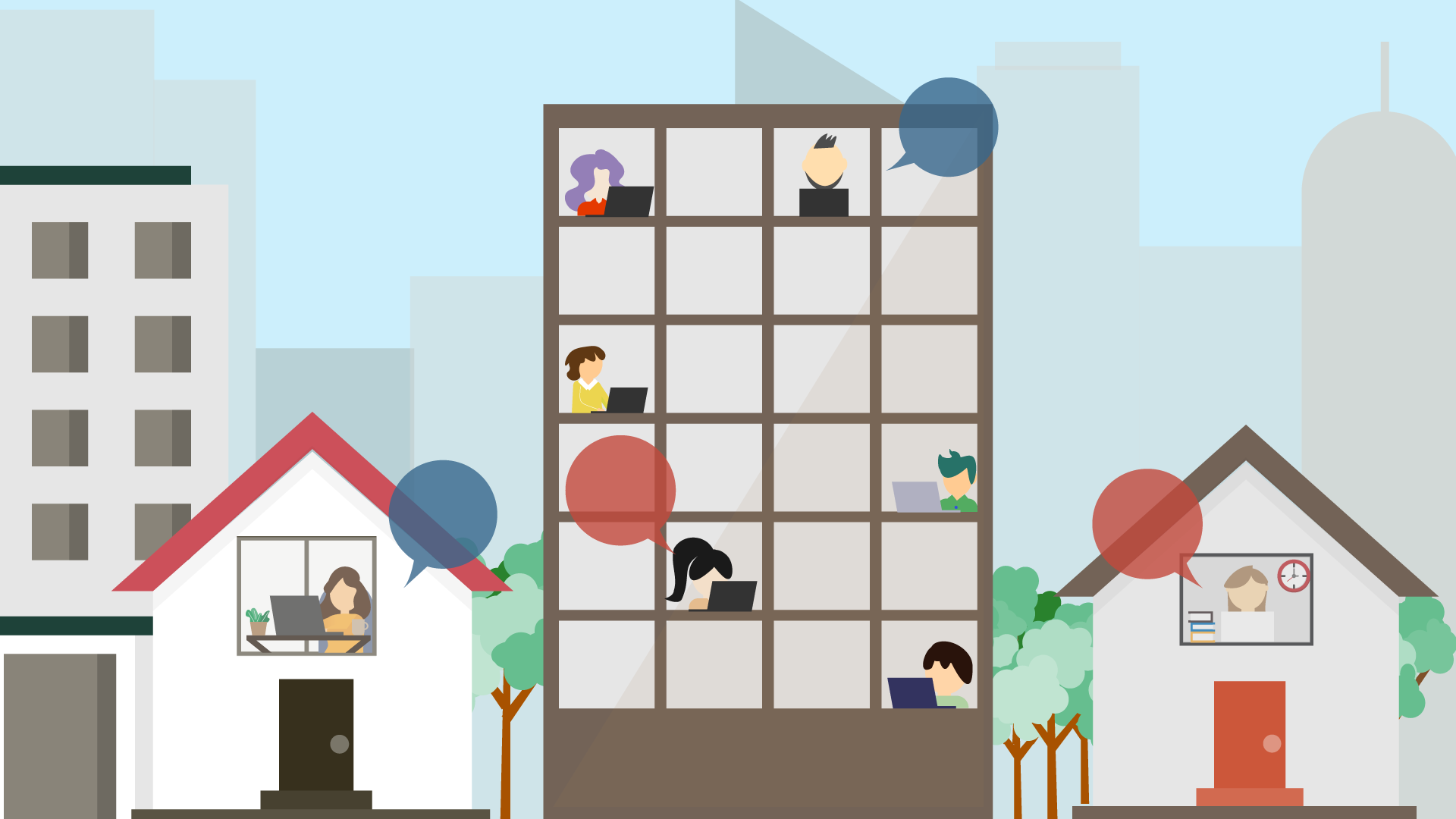
A significant number of organizations are planning to take a more flexible approach to the workplace in the future. According to Microsoft’s 2021 Work Trend Index, 66 percent of decision-makers at businesses around the world are considering redesigning their office spaces to better serve hybrid work environments, wherein employees can regularly work from the office and/or home.
This isn’t so surprising, given that rental space is one of the biggest costs for many organizations. But there’s more to it than that. How people interact with their workplaces is undergoing permanent change. So facilities need to be transformed in ways that are both flexible and sustainable.
This process starts with data. And ArcGIS Indoors—a system of record that visualizes facilities data on a digital indoor map—can help.
A Central Repository for Facilities Data
For too many organizations, their facilities data isn’t interoperable. It consists of paper documents, Microsoft Excel spreadsheets, or thousands of records organized in tabular formats in integrated workplace or facility management systems. People can’t share the data, let alone find what they need, and this costs businesses money.
Using ArcGIS Indoors as a central repository for storing and managing facilities data allows stakeholders to easily share this information and visualize it all on a map. Anyone within an organization—from decision-makers to new employees—can use Indoors to see where specific rooms are and locate amenities, resources, and people. The software also helps managers plan space use and enables employees to book rooms and offices, as well as navigate within and among buildings.

Additionally, Indoors organizes computer-aided design (CAD) and building information modeling (BIM) drawings, plus site scans and operational data, into floor-aware indoor maps. This ensures that these important resources can be used not only for the design and construction of buildings but also for facility operations and maintenance.
In short, Indoors gives everyone in an organization a common operating picture of facilities, which streamlines workplace planning; aids with facility maintenance; and, ultimately, reduces operating costs.
Seamlessly Plan and Use Flexible Work Spaces
ArcGIS Indoors offers two ways to explore data: with a native mobile app and via the browser-based Indoor Viewer. As many workplaces seek to limit how many people are in one space at a time, these apps can help employees navigate modified offices—both by guiding them through updated floor plans on a map and by helping them book conference rooms and new types of work spaces, such as temporary-use office hotels and hot desks.
These apps can also make employees active participants in reporting facility issues, including areas that need to be cleaned and broken assets that require repair. Indoors does this by integrating with computerized maintenance management systems, such as Esri partner Cityworks or ServiceNow, which makes facility information readily available to all occupants of a building.
For decision-makers and managers, the Indoor Space Planner app makes it easier to reorganize office spaces; assign employees to specific offices, desks, or work areas; and create office hotels—work spaces that employees can reserve for set amounts of time. Users are able to visualize their plans and changes on a map and evaluate several scenarios before deciding on the best option. They can then merge the accepted plan into the ArcGIS Indoors Information Model so it becomes the default map across the organization’s Indoors apps.
Continuity Among Systems and User Experiences
Without doing any custom coding, ArcGIS Indoors can be integrated with various facility, asset, incident, and work order management systems. For example, Esri recently announced a new extract, transform, and load (ETL) procedure for IBM’s integrated workplace management solution, TRIRIGA. This makes it easier and quicker to incorporate TRIRIGA-based floor plans and spatial data into Indoors maps.
Other ways users can incorporate Indoors into their already-existing facilities management systems and procedures include the following:
- Loading facility data, such as floor plans, rooms, and assets, into ArcGIS Indoors maps
- Adding floor-aware maps to facility management systems and apps such as IBM TRIRIGA or Cityworks
- Smart launching other facility apps from Indoors, such as ServiceNow to report an issue
- Smart launching Indoors from a facility management system to do location sharing or make a work space reservation
Connecting an organization’s facility management systems with Indoors makes all facility and building information available to stakeholders from one central location and allows everyone to interact with it via a simple map interface. This makes data management easier; enables space planning; and helps maintain continuity among different systems, applications, and user experiences.
Learn more about ArcGIS Indoors and get a demo of the apps.