The Albuquerque Bernalillo County Water Utility Authority reached a milestone in its GIS journey in 2024. With guidance from Esri experts, the Water Authority began its migration from a legacy ArcMap technology-based geometric network model to ArcGIS Pro and ArcGIS Utility Network, the modern solution that helps utilities unlock new GIS capabilities for data accuracy, infrastructure modeling, and operational efficiencies.
The Water Authority’s migration went beyond technology replacement. Leaders took a people-centered approach to manifest an organization-wide shift. Training from Esri played a pivotal role in the organization’s successful transformation.
Strategic Planning, Tailored Support
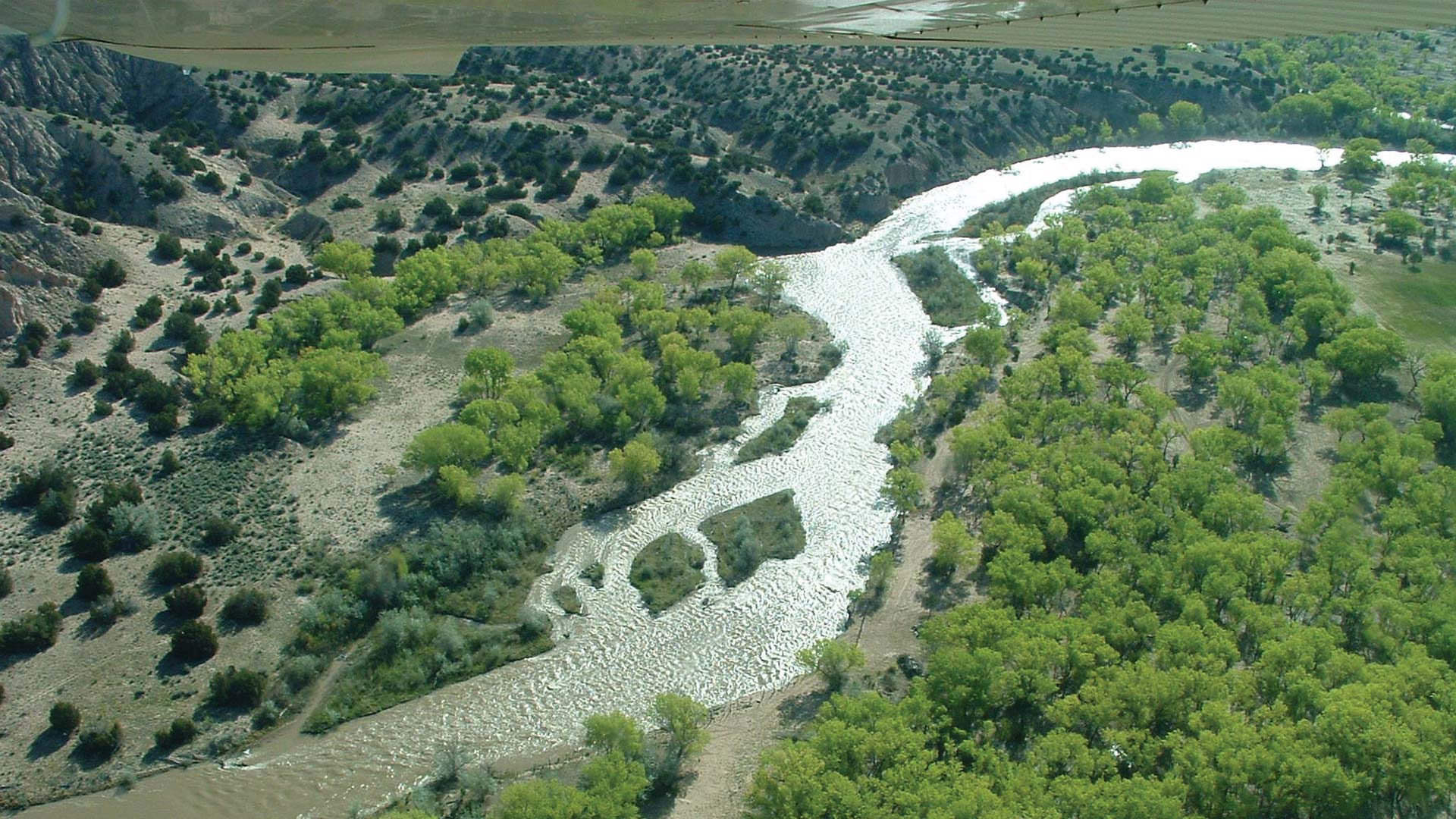
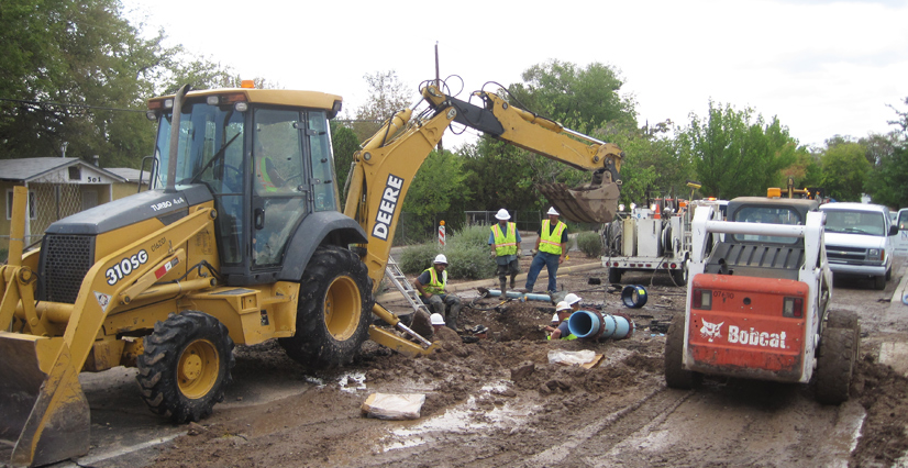
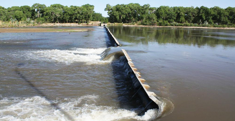
As the largest water and wastewater utility in New Mexico, the Albuquerque Bernalillo County Water Utility Authority serves more than 650,000 water users across city and county boundaries. The organization manages water distribution, wastewater collection and treatment, and reclaimed water delivery.
Like many established utilities, it had long depended on ArcMap and the geometric network model for GIS data editing, network visualization and analysis, and asset management workflows. But with the retirement of ArcMap in March 2026 and a growing demand for smarter infrastructure, the organization saw an opportunity to modernize.

“Staff were really looking for better support for network tracing and quality assurance,” said Kathryn Browning, an Esri technical adviser who works closely with the Water Authority. “ArcGIS Utility Network provides all the functionality they need, but it also requires a different way of thinking about data.”
Because adopting ArcGIS Utility Network required migrating to ArcGIS Pro and implementing a new model for multiuser data editing, the modernization effort was multilayered. Familiar apps and everyday workflows would be completely replaced.
Paul Davidson, GIS IT application supervisor at the Water Authority, recognized the technical and cultural impacts of the modernization effort. “Adopting [ArcGIS] Utility Network required a paradigm shift, and we knew we needed to bring everyone along for the ride,” he said.
As a member of the Esri Advantage Program, the Water Authority has access to Browning and other experts, who helped Davidson plan a holistic approach to the transition. A robust technology implementation plan was accompanied by a tailored workforce training program crafted by Esri senior training consultant Tosca Ruege. The training program supported the short-term learning needs of technical staff while also addressing key skills development that would be needed to sustain efficient operations in the long term.
-
The Albuquerque Bernalillo County Water Utility Authority serves more than 650,000 water users.
“Having that level of coordinated support through the Advantage Program made a big difference,” said Ruege. “We were able to align training directly with staff’s migration timeline, reinforce learning using the context of their specific workflows and data, and work toward a unified vision of the future.”
A New Kind of Learning Experience
When the Water Authority’s new technology was deployed, Davidson consulted with two colleagues: GIS administrator Marshall Grebe and GIS system analyst II Jessica Ridout. Most of the editors had limited experience with ArcGIS Pro. Some team members had attended ArcGIS Utility Network courses before the new system was in place. Months later, information retention was low, since they hadn’t immediately applied their new skills.
Davidson, Grebe, and Ridout agreed that their teams needed a unique training experience to fully prepare for the transition. What they got was a hands-on, role-specific refresher that brought everything together—including their people.
Working with Ruege and Esri instructor and principal technical lead Jim Gough, Davidson, Grebe, and Ridout designed a custom, three-day private class that combined content from two of Esri’s standard ArcGIS Utility Network courses. The class was augmented with coaching sessions, during which Gough provided expert guidance as participants worked with a copy of the Water Authority’s data in course exercises instead of the standard course data. Esri’s training systems team also created a virtual machine environment that simulated the Water Authority’s utility network, providing a safe space for the class to practice new workflows while learning their new system’s interface.
“This wasn’t generic data being used, and the course concepts weren’t theoretical. Students were solving problems they actually encounter,” Gough said.
Gaining Clarity on Complex Concepts
The class brought together GIS editors, administrators, modelers, and IT professionals to explore branch versioning, topology, network tracing, and attribute rules—topics that can be abstract without familiar context. Branch versioning (the multiuser editing model used with ArcGIS Utility Network) was a particular source of confusion. In-depth class discussions and examples using the Water Authority’s own data sparked a breakthrough that changed everything.
“Once we explained how it works, you could see the lightbulbs go off,” said Gough.
Davidson agreed. “That class was an aha moment for me. It helped me understand how [ArcGIS] Utility Network fits our needs,” he said. “And it wasn’t just me—everyone came out of it energized.”
More than Training—Team Building
Beyond the technical knowledge gained, the training helped clarify how different departments interact with GIS, and it unified staff across roles and departments. They all left with a shared vocabulary and understanding.

“We had our water modeler, compliance staff, and utility development folks in the room,” Davidson said. “The training helped us all understand how the pieces fit together.”
Gough, who has taught hundreds of classes in his 22 years at Esri, knows firsthand how beneficial a shared learning experience can be for teams.
“Having everyone in the same room—learning together, using the same terminology—is huge,” he said. “It eliminates confusion and builds a stronger foundation for collaboration.”
Browning agreed. “You can’t overstate the value of a shared experience when implementing new technology,” she said. “When people understand not just the how but the why, it brings teams together in powerful ways.”
This was certainly the case for the Water Authority. Davidson organized a lunch for participants the day after class ended. “I thought no one would show up—they’d be burned out,” he recalled. But instead, he said, “they were excited. They couldn’t stop talking about it.”
Davidson appreciates the long-term value of the private class. “We’ve done training with other vendors where it’s just a four-hour lecture. Six months later, no one remembers it,” he said. “Esri’s format—with hands-on exercises, real data, and experienced instructors—makes the learning stick.”
A Holistic Model for Modernization
Technology will continue to advance, empowering organizations with new capabilities to optimize their operations. As leaders at the Albuquerque Bernalillo County Water Utility Authority discovered, partnering with experts to strategically plan innovative enterprise technology implementations, paired with aligned and timed workforce preparation, is a formula for success.
From Browning’s viewpoint, a holistic approach was the key ingredient. “It was an intentional strategy to support real modernization, tailored to their goals and their team,” she said. “The people and planning brought the vision to life.”