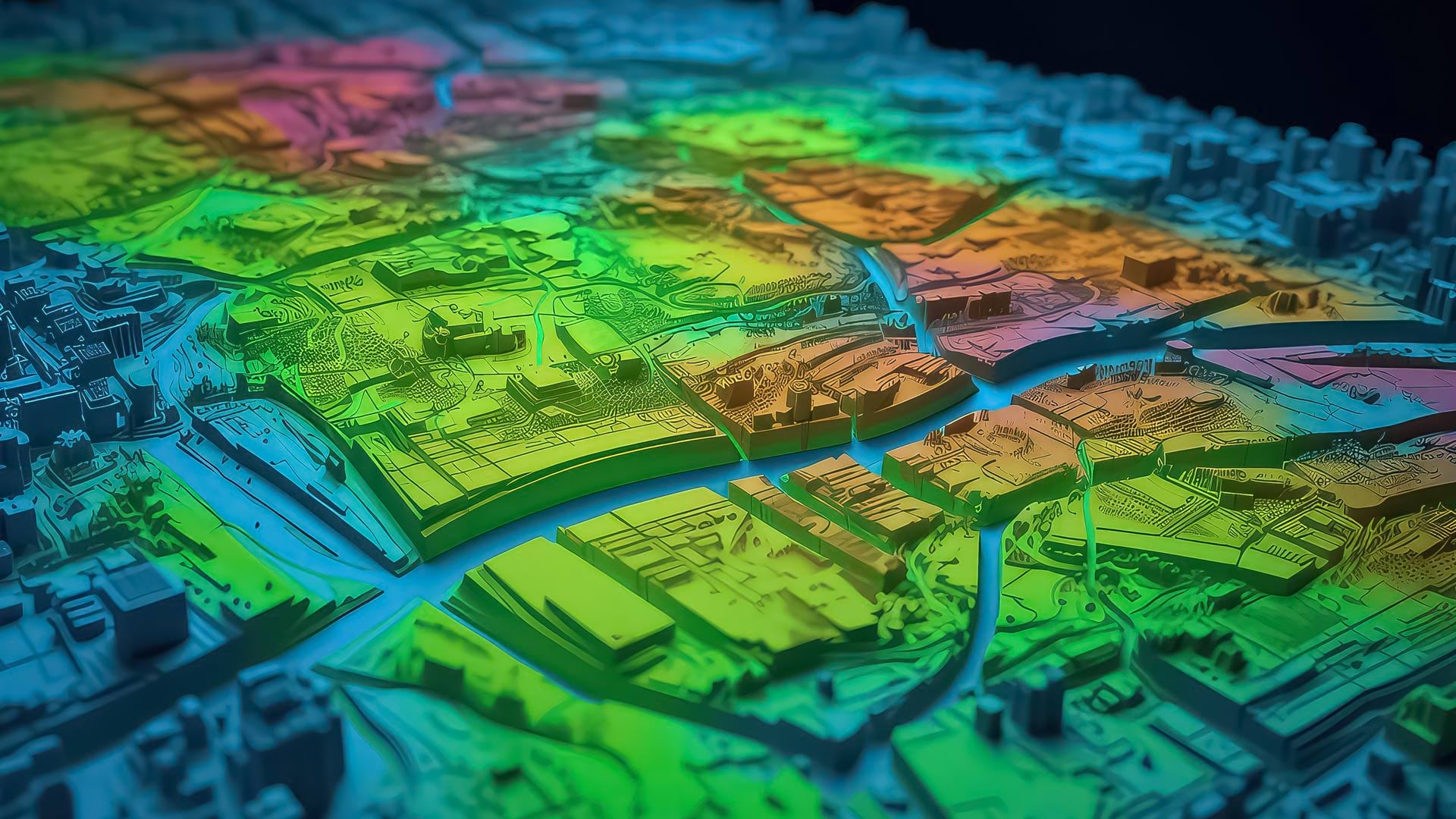
In today’s rapidly evolving technological landscape, the convergence of artificial intelligence (AI) and location intelligence has given rise to a revolutionary technology: geospatial artificial intelligence (GeoAI).
GeoAI fuses AI with geospatial data, science, and technology to accelerate workflows, uncover valuable insights, and solve spatial problems. With the ability to monitor and analyze events swiftly, it enables users to keep pace with the changing technological environment and make informed decisions faster than they could before. This increased situational awareness, coupled with the rich insight and predictions that GeoAI can generate from spatial patterns, generates valuable results for businesses, government agencies, and other organizations.

AI has two key components: machine learning and deep learning. Machine learning involves training a computer to learn patterns within data and predict outcomes without receiving explicit instructions to do so. Deep learning—a subset of machine learning—employs algorithmic structures called neural networks that are inspired by the way the human brain works to learn complex patterns within data by piecing together simpler concepts.
Within the framework of GeoAI, machine learning can be used to analyze spatial data and solve spatial problems using classification, clustering, and prediction and forecasting techniques. Deep learning, on the other hand, is most often used in GeoAI to generate rich spatial data by automating the extraction, classification, and detection of geospatial information from imagery, videos, point clouds, and text. It can also be used to analyze spatial data to make predictions and forecasts.
Many organizations are modernizing their operations by leveraging GeoAI to make data-driven decisions and take proactive measures that address challenges and opportunities in the spatial domain. GeoAI supports a range of applications, such as detecting and classifying land-cover changes, predicting urban growth, and assessing environmental risks. And there is a diverse array of GeoAI solutions—including out-of-the-box pretrained models, models that can be fine-tuned to address specific issues, and custom models—that meet various organizational needs.
Read on to see how GeoAI can help organizations facing different scenarios glean meaningful insight from data and solve spatial problems with unparalleled speed, accuracy, and efficiency.
Enhancing Highway Maintenance with a Pretrained Model
Performing highway maintenance presents numerous challenges for transportation departments. Road networks are vast, and road cracks and defects need to be detected quickly. Traditional manual inspection methods are labor-intensive and can fail to identify areas that are in critical need of repairs.
There are pretrained GeoAI models that can automate road crack detection and enable transportation departments to do further analysis on key spots. With this information at hand, transportation departments can then enact efficient and proactive maintenance plans to keep highways in good condition.

How to Use a Pretrained Road Crack Detection Model
A highway maintenance department can enhance its road condition assessment procedures with GeoAI by using a pretrained deep learning model that’s specifically trained to detect cracks and anomalies in roads.
The process begins by having the transportation department’s GIS team use drones and vehicle-mounted cameras to capture high-resolution images of roads in its area of interest. The GIS team can then apply a ready-to-use, pretrained road crack detection model to the images. As the model processes the images, it efficiently identifies cracks and defects in roads.
The department can then use these extracted features as input for a machine learning algorithm that employs regression analysis to model road conditions based on traffic characteristics, like high truck density on certain routes; road material properties, such as the age and thickness of the pavement; and other road performance measurements. This gives the team a better understanding of the effects that these variables can have on already existing cracks and road defects.
With all this information at hand, the team can predict where road maintenance may be required. This allows the transportation department to prioritize repair efforts, perform preventive maintenance, and optimize road maintenance resources. Taking this approach significantly expedites the road inspection and repair process and enables the department to make its roads smoother and safer for drivers.
Optimizing the Allocation of City Resources by Fine-Tuning Existing Models
In many regions around the world, people live in informal settlements where a housing unit can exist today and move tomorrow. Most countries conduct population surveys via a census every decade, but since informal settlements are dynamic, local-scale population counts can be outdated by the time the census data is released.
Because local governments rely on population data to allocate critical community services, such as medical care, schools, and banking, it is imperative that they collect and maintain accurate population data at local levels—especially in areas that experience continual active migration.
Using a building footprint deep learning model that’s fine-tuned to an area’s geography can help local government organizations keep more consistent population counts.

How to Employ a Fine-Tuned Building Footprint Deep Learning Model
To fine-tune an out-of-the-box building footprint deep learning model so it can detect informal settlements in a particular geography, local government staff members can begin by capturing aerial imagery of a local informal settlement. Staff can use this imagery to generate training data by, first, selecting sample areas and manually identifying informal settlements. Next, they can digitize this data and use it as input to retrain the model. Staff can then adjust the model with their desired parameters—such as the model’s learning or accuracy rate—and use it to extract building footprints within the larger region.
After that, staff members can use machine learning techniques like regression analysis to model fluctuating informal settlement populations based on factors such as household demographic characteristics; geospatial covariates, including an area’s elevation, proximity to roads, and nighttime lights; and specific attributes of the derived building footprints themselves, like their area and density. This allows users to predict household-level population estimates across the larger region. These estimates can subsequently be aggregated to help inform local government decisions.
This technique precludes users from having to manually train a model from scratch. Instead, they can leverage a ready-to-use model and retrain it to the desired parameters. This speeds up the data gathering process and helps local governments get necessary amenities and services to their constituents to help foster community growth and prosperity.
Improving Disaster Response Outcomes by Building Custom Models
In the aftermath of a hurricane, local governments and aid organizations need to assess the damage done to building structures in hard-hit areas. Performing damage assessments quickly, right after a natural disaster, enables faster recovery and rebuilding efforts.
These organizations can take historical imagery of an area and use it to train a custom-built deep learning model that can quickly and safely identify damaged buildings and other features of interest.

How to Build a Custom Damage Detection Model
To develop a custom deep learning model that detects the extent of damage after a hurricane, the GIS team at a disaster aid organization can begin by taking an archive of historical imagery data that shows the area after several natural disasters. A custom deep learning model can then be trained using this imagery to learn how to identify damaged buildings and other important features.
When future natural disasters occur, the team can apply this model to new postevent imagery so it automatically extracts damaged features. This makes it easier for first responders to allocate resources and for insurance companies to start processing residents’ claims.
Once the model identifies and maps the structures that have been damaged by the most recent hurricane, the team can load these into machine learning workflows. From there, the team can quickly perform cluster analyses on the damaged buildings to identify priority zones for temporary housing. The team can also use a predictive model to estimate the amount of debris generated by the hurricane and figure out the storm’s cumulative impact on local watersheds.
By capitalizing on deep learning models, assessors who previously conducted, say, 100 manual damage assessments per hour can now complete hundreds of thousands of automated assessments in the same amount of time. This enables federal agencies and insurance companies to take timely action in dispatching aid to those in need.
Get Started with GeoAI in ArcGIS
These are all powerful examples of how GeoAI can work in various situations, but they only scratch the surface of what’s possible. There are numerous ways that users can utilize GeoAI in ArcGIS that range in complexity and levels of customization.
To get started with this groundbreaking geospatial technology, users can first explore Esri’s more than 50 pretrained deep learning models and see if one works for their situation. These models provide an out-of-the-box solution, so users can begin extracting, classifying, and detecting data without taking the time and intensive resources to train a model. Users also have the ability to fine-tune these pretrained models to their specific needs. Additionally, for users who have custom workflows, they can review an extensive list of available deep learning models and use these to train their models using their own data.
Learn more about GeoAI and explore the full potential of this powerful technology within the ArcGIS system by visiting the GeoAI capability page.