When graduates of the Fletcher School of Law and Diplomacy at Tufts University in Massachusetts join organizations such as the United Nations, the World Bank Group, or the International Committee of the Red Cross, they arrive with a skill those organizations desperately need: GIS expertise. Founded in 1933, Fletcher is known for innovation in international education and reflects a mission to educate leaders who deliver solutions to global problems.
Since 2009, more than 600 Fletcher students have completed geospatial training using ArcGIS technology, learning to map refugee settlements, track disease outbreaks, analyze climate impacts, support crisis responses, and more. At Fletcher, GIS represents a spatial literacy that can transform international relations students into global leaders.
 to dark reddish-brown (22–84 projects), as shown in the legend.")
GIS and International Relations
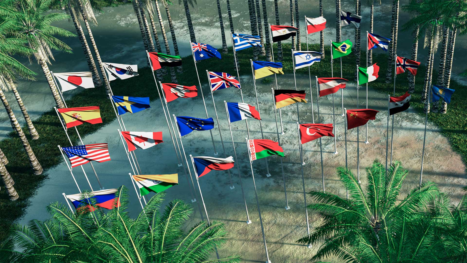
The field of international relations is about understanding how the world connects beyond borders. It examines how countries, organizations, and individuals interact via diplomacy, trade, security, human rights, and global challenges. Knowing where and why events occur has become fundamental to shaping better policy, responding to crises, and leading across borders.
In 2009, GIS experts at Tufts partnered with Fletcher faculty to rethink how geospatial education could prepare students for data-driven careers and a rapidly changing technological landscape around the world. This partnership created an emerging commitment to geospatial innovation that would soon prove its value.
Proof of Concept: The Haiti Response
One early example came during the 2010 Haiti earthquake, when a Fletcher student used crisis mapping to help guide humanitarian response. Working with a global volunteer network, he created a live crisis map integrating geolocated reports from text messages, social media, and local radio. It enabled aid agencies to locate survivors and direct resources with unprecedented speed.
What began in a donated Fletcher space grew into a large-scale demonstration of digital humanitarianism, showing how geospatial skills could directly impact global crises.
Growing the Program
Building on early successes like the Haiti response, GIS is now fully integrated into Fletcher’s interdisciplinary curriculum. An introductory course called GIS for International Applications is organized into three modules: core concepts and skills, spatial analysis, and project development. Other courses focus on data management and geoprocessing; geospatial modeling, including spatial statistics and multivariate analysis; and visualization. Instruction centers on ArcGIS Pro, with applied training in tools such as ArcGIS StoryMaps, ArcGIS Dashboards, and ArcGIS Survey123.
Course tutorials and student projects address pressing issues in foreign affairs and diplomacy, including conflict analysis, governance, environmental sustainability, energy and climate policy, economic development, and infrastructure planning. These efforts are showcased in an ArcGIS StoryMaps collection called Mapping the World Through Student Stories, where Fletcher students present spatial analyses of real-world global challenges. By combining rigorous analytical methods with modern GIS technology, these stories translate geographic insight into compelling narratives and actionable policy solutions.
From Discovery to Diplomacy
For many Fletcher students with nontechnical backgrounds, GIS begins as just another line in a course description. But it quickly turns into a practical tool for humanitarian aid, peacekeeping, and sustainable development.

Students learn to map refugee settlements; identify disaster risks; and analyze opportunities for conflict prevention, environmental protection, and disaster response. For many alumni, this experience has opened doors to internships, careers, and leadership roles where geospatial analysis is a strategic asset.
Expanding Global Reach
Fletcher’s commitment to GIS education continues to evolve. A new course on drone technology and geospatial intelligence gives students insight into how unmanned systems are reshaping security and humanitarian operations. Fletcher has also begun exploring geospatial AI, recognizing that AI and large language models are creating new opportunities and challenges for geospatial analysis in international contexts.
GIS now runs through Fletcher coursework across nearly every field—from international development and environmental policy to human security, humanitarian affairs, technology, regional studies, gender and intersectional analysis, business, negotiation, conflict resolution, and security studies. Beyond traditional analysis, it serves as both a research tool and a medium for storytelling, helping students communicate complex global challenges through spatial narratives.
This geographic literacy enhances Fletcher graduates’ career prospects as demand for spatial thinking grows across sectors. Fletcher remains committed to equipping future leaders with the tools needed to expand their global reach.