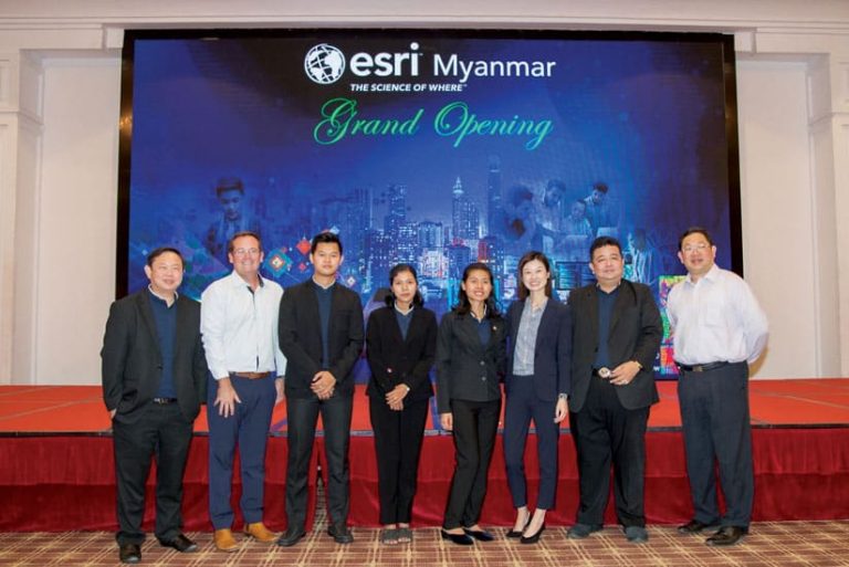
Esri’s newest international distributor, Esri Myanmar, opened for business on February 20, 2020, in Yangon, the country’s largest city.
To commemorate the launch, the company hosted an event in Myanmar’s capital, Nay Pyi Taw, to communicate the importance of GIS to leaders in government, business, and nongovernmental organizations. More than 100 participants attended. Many were senior government officials from various departments.

Esri Myanmar’s goal is to help users work on initiatives that improve people’s quality of life across Myanmar. It already supports many key national government initiatives, such as OneMap, an open-access geoportal with user-friendly data about land use and natural resources. Esri will also invest in and grow local training, technical support, and professional service capabilities.
Together with the local user community, the team at Esri Myanmar will center its work on helping this emerging nation achieve the Sustainable Development Goals (SDGs), the ambitious targets set by the United Nations (UN) to end poverty, protect the planet, and ensure that all people have peaceful and prosperous lives by 2030.
“There are many challenges in Myanmar where GIS can play a significant role in providing a deeper understanding of issues, leading to better-informed decision-making and greater transparency,” said Brett Dixon, Esri’s general manager for the Asia Pacific region. “Many of Myanmar’s major cities, such as Yangon, have the same challenges that other developing cities around the globe face, including a rapidly growing population, lagging access to clean water and sanitation, and heavy traffic. GIS plays an important role in finding solutions to those issues.”
“In addition, GIS can help address the divide between rural and urban populations,” said Zoe Zhang, one of Esri’s business development managers. “As in other countries, this is a specific focus for the citizens of Myanmar and international aid organizations that work there.”
Dixon and Zhang, who are both based in Singapore, attended the launch event and gave presentations about Esri’s vision of a connected world through GIS. Esri will provide not only local support for ArcGIS technology but also serve as a nesting ground for GIS expertise in diverse and far-flung regions of the world.

One major priority for both Esri and Esri Myanmar is to cultivate this expertise in Myanmar by instituting GIS education programs at many of Myanmar’s universities. The aim is to create a community of highly skilled, highly employable GIS professionals across the country.
“A vibrant GIS community is an important step for nation building and, in Myanmar, will help give rise to a brighter future,” said Dixon.
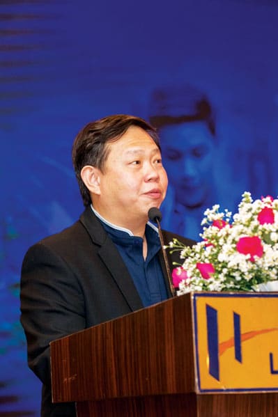
Esri Myanmar’s general manager, Wuttiboon Fa-amnuaypol, echoed this sentiment.
“The founding of Esri Myanmar is an important step in continuing to build Myanmar’s GIS community and that community’s ability to openly contribute to Myanmar’s society and ongoing transition,” he said, referring to the once-closed country’s nine-year endeavor to institute political reforms and engage with the rest of the world.
The Esri Myanmar team also includes business development lead Myoza Woo and expert solution engineers, as well as support staff. They are working with customers on projects in a number of sectors, including land surveying, emergency response, urban planning, and heritage protection. The company is also partnering with international agencies to aid in infrastructure development and humanitarian efforts. Fa-amnuaypol already has plans to open a second office in Nay Pyi Taw soon.

