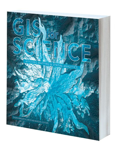
GIS for Science: Applying Mapping and Spatial Analytics
Edited by Christian Harder and Dawn J. Wright
A collection of real-world stories about modern science, GIS for Science: Applying Mapping and Spatial Analytics highlights a cadre of scientists who use mapping and spatial analytics to expand their understanding of the world. The accounts in this book are written for a broad audience, including professional scientists, the swelling ranks of citizen scientists, and people with a general interest in science and geography. The volume shows how GIS technology brings scientific data to life, allowing both scientists and nonscientists to study a range of issues that are relevant to Earth’s natural functions, as well as the impacts of human activity. In a race against the clock, the scientists profiled in this volume are using remote sensing, web maps, Esri Story Maps apps, and spatial analysis to document and solve big problems that have a geographic dimension—from climate change, natural disasters, and loss of biodiversity to homelessness, lack of green infrastructure, and resource shortages. The geospatial ideas presented in these stories can be applied across disciplines, making GIS for Science relevant to a diverse audience. June/July 2019, 300 pp. E-book ISBN: 9781589485310 and paperback ISBN: 9781589485303.

Connections and Content: Reflections on Networks and the History of Cartography
By Mark Monmonier
Behind every great map is a network, and behind every great network is a map. In Connections and Content: Reflections on Networks and the History of Cartography, cartographic cogitator Mark Monmonier shares his insights about the relationships between networks and maps through a collection of essays. Relying on historical maps, he explores the triangulation networks used to establish the baselines of a map’s scale; the astronomical observations, ellipsoids, geodetic arcs, telegraph networks, and GPS constellations that establish latitude and longitude at control stations; the cartographic symbols that portray network features on a map; the survey networks used to situate and construct canals, railways, roads, and power lines; and the topological networks that underlie modern census enumeration and satellite navigation systems. Connecting the past to the present via maps and reflection, Monmonier extends his contributions to cartographic scholarship by demonstrating the network as a unifying concept for understanding and using maps. August 2019, 250 pp. E-book ISBN: 9781589485600 and paperback ISBN: 9781589485594.

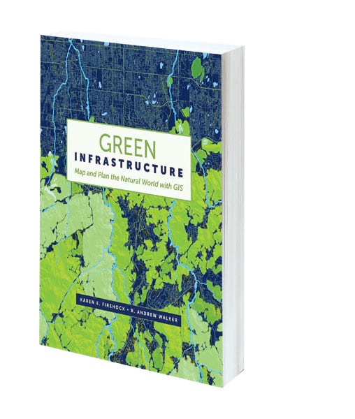
Green Infrastructure: Map and Plan the Natural World with GIS
By Karen E. Firehock and R. Andrew Walker
To conserve our natural assets—our green infrastructure—we need to map them and plan for their protection. Green Infrastructure: Map and Plan the Natural World with GIS describes the why and how of green infrastructure (GI) mapping and implementation through text, maps, and online illustrations. Authors Karen E. Firehock and R. Andrew Walker explain how to employ the national green infrastructure model that Esri has built with the Green Infrastructure Center’s (GIC) methodology. Using print and online map layers, the book demonstrates how to develop a prioritized strategy for conserving or restoring the highest values to natural resources. It also outlines how this analysis is then employed to inform a host of planning applications, from protecting drinking water and conserving endangered species to designing recreation areas and preserving culturally significant landscapes. The book uses actual data to create two case studies—one for a western landscape and the other for an eastern one—that show how the Esri model can be adapted with local data to create a custom GI plan. Green Infrastructure also illustrates how data from ArcGIS Living Atlas of the World can be included and used to customize maps. June/July 2019, 350 pp. E-book ISBN: 9781589484924 and paperback ISBN: 9781589484863.

Smarter Government: How to Govern for Results in the Information Age
By Martin O’Malley
What if health-care providers and public health officials could securely share all patient records and hospital admissions information? What if city officials knew where crime was happening in real time and could deploy more police officers there to prevent it? What if every parcel of land could be ranked for its ecological value to better protect critical natural lands and open spaces? That’s all possible, and this is the new way to govern. The time has come for the rise of the tech-savvy executive: an individual who understands the need to elevate the use of technology within and throughout an organization, all to the same level, all at the same time. As mayor of Baltimore and then governor of Maryland, Martin O’Malley did that—and more. In Smarter Government: How to Govern for Results in the Information Age, O’Malley looks at how using GIS technology can provide real solutions to real problems while guiding readers through how to develop a data-focused management strategy that will profoundly change any organization. June/July 2019, 420 pp. E-book ISBN: 9781589485259 and paperback ISBN: 9781589485242.


