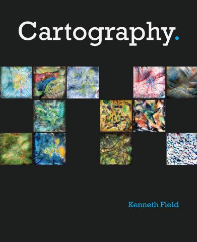
Cartography.

By Kenneth Field
Designing an accurate and effective map is always a nonlinear journey. And nonlinear journeys are usually made easier with a guide. Cartography., by Kenneth Field, is a practical and useful docent for modern mapmaking. With a wealth of illustrations, the book distills the essence of cartography into practical and useful topics that help readers find the specific ideas or methodologies they need. At the intersection of science and art, Cartography. is an inspiring and creative companion for novice and expert mapmakers alike.
- June 2018, 556 pp.
- Paperback ISBN: 9781589484399
- Hardcover ISBN: 9781589485020
Getting to Know Web GIS, Third Edition

By Pinde Fu
Web GIS apps are becoming indispensable in the GIS world. Learn to build them with Getting to Know Web GIS, Third Edition. Teaching Web GIS technologies as a holistic platform, the book explores the most current and comprehensive advances in the Web GIS field. Via step-by-step exercises, readers learn how to share resources online before moving on to building Web GIS apps—first without doing any coding and then by developing more advanced skills using a range of Web GIS technology. Each chapter contains an app project that employs both server-side and client-facing products. And this edition includes new chapters and sections on big data analysis, image services, raster analysis, virtual and augmented reality, artificial intelligence, vector tiling, portal collaboration, ArcGIS Arcade, Survey123 for ArcGIS, ArcGIS API for Python, and Operations Dashboard for ArcGIS. A practical manual for the classroom lab or on-the-job training, Getting to Know Web GIS includes downloadable teaching slides and exercise data.
- May/July 2018, 410 pp.
- E-book ISBN: 9781589485228
- Paperback ISBN: 9781589485211
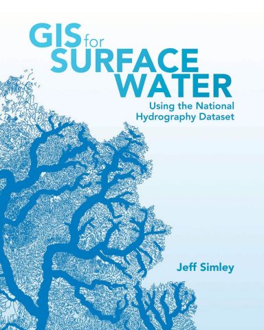
GIS for Surface Water: Using the National Hydrography Dataset

By Jeff Simley
Combining the ready-to-use National Hydrography Dataset with the ArcGIS platform, GIS for Surface Water: Using the National Hydrography Dataset helps scientists, managers, and students analyze the vital surface waters of the United States. The book explains how this database of the nation’s water resources was built and outlines how data about the waters—such as their chemistry and fish habitats—is linked to the database. GIS for Surface Water also shows how elevation data can be incorporated to produce watersheds at the micro and macro levels and reveals how this, along with climatic data, can lead to the creation of water flow and velocity estimates for every segment of the United States’ 7.5-million-mile drainage network. Drawing on user stories from experienced water analysts where relevant, the book demonstrates how ArcGIS technology can be applied to the database—and to the surface water systems of any nation.
- May/June 2018, 600 pp.
- E-book ISBN: 9781589484917
- Paperback ISBN: 9781589484795
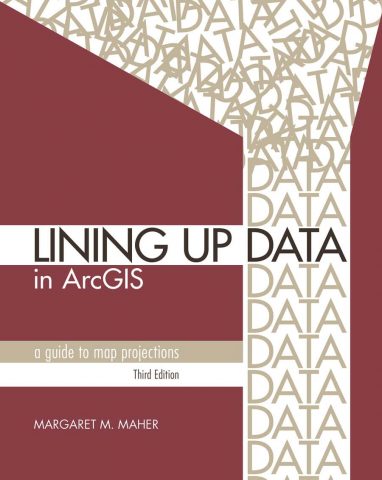
Lining Up Data in ArcGIS: A Guide to Map Projections, Third Edition

By Margaret M. Maher
Lining Up Data in ArcGIS: A Guide to Map Projections, Third Edition, is an easy-to-navigate troubleshooting reference for any GIS user with the common problem of data misalignment. Complete with full-color maps and diagrams and updated for ArcGIS Desktop 10.6, this book offers techniques to help readers identify data projections and create custom projections to align their data. Formatted for practical use, each chapter can stand alone to address specific issues related to working with coordinate systems. And with a new chapter on vertical coordinate systems, the third edition of Lining Up Data in ArcGIS is useful for new and skilled GIS users alike.
- May/June 2018, 240 pp.
- E-book ISBN: 9781589485235
- Paperback ISBN: 9781589485204
Understanding GIS: An ArcGIS Pro Project Workbook, Fourth Edition

By David Smith, Nathan Strout, Christian Harder, Steven Moore, Tim Ormsby, and Thomas Balstrøm
A pioneering GIS textbook, the fourth edition of Understanding GIS: An ArcGIS Pro Project Workbook is an excellent resource for students and educators taking or teaching an advanced, single-project-based course that incorporates GIS across a wide range of disciplines. The objective is to find the best location for a new park along the Los Angeles River in Southern California, and readers progress through nine lessons using ArcGIS Pro to do so. Each exercise offers step-by-step instructions, graphics to confirm exercise results, and explanations of key concepts. Understanding GIS gives readers access to ArcGIS Desktop, which includes ArcGIS Pro, as well as all the updated project data
- August 2018, 380 pp.
- E-book ISBN: 9781589485273
- Paperback ISBN: 9781589485266

