Effective supply chains are crucial for ensuring that customers can access what they need, when they need it. There are many factors that can delay or interrupt a supply chain. Sometimes the consequences are a mere inconvenience, but sometimes—as in the case of food and medications—a disrupted supply chain can be disastrous. That’s where Waterfront Logistics comes in.
Waterfront Logistics is a leader in supply chain solutions, known for leveraging advanced geospatial technology to optimize operations and enhance decision-making. But the company, which offers shipping and logistics services, faced a critical challenge: It had fragmented data systems functioning in silos. Essential operational data—ranging from dispatching and telematics to yard management and chassis tracking—was stored in disparate platforms, making it difficult for teams to aggregate, analyze, and act on insights efficiently.
Recognizing the need for a transformative approach, leaders at Waterfront sought a solution that would break down data silos and introduce location intelligence as a core driver of operational efficiency. They worked with ESP Logistics Technology—an Esri partner that recently graduated from the Esri Startup program—to implement ESP Maestro, a cutting-edge supply chain analytics platform, along with ArcGIS Online, ArcGIS Dashboards, ArcGIS Experience Builder, and ArcGIS Notebooks, to develop a digital twin of Waterfront’s supply chain that shows information in real time. Now, Waterfront has a comprehensive, geospatially informed view of its operations.

Integrated Supply Chain Data
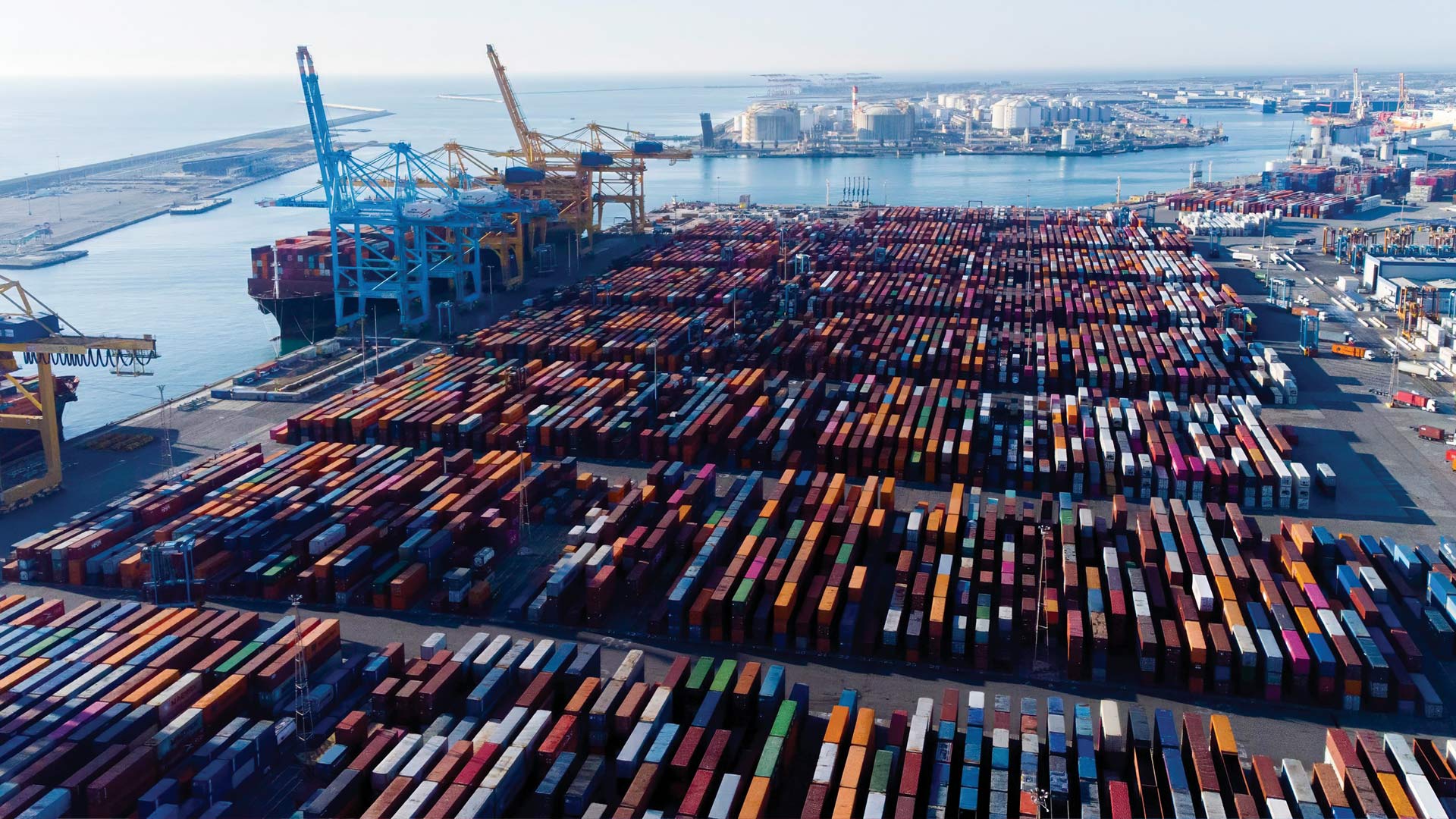
Waterfront operates across major transportation hubs and port gateways and has an extensive portfolio of services, including yard management, intermodal drayage, full truckload, dedicated fleets, transloading, warehousing, distribution, and equipment parking. With the company’s data stored and used in different systems, employees were spending a great deal of time manually creating reports and determining key performance indicators (KPIs). The lack of synchronization between telematics data and real-time dispatching and container movements caused resource allocation to be inefficient.
“Visibility and actionable data are critical within the supply chain to improve speed to market and reduce cost,” said Waterfront CEO Bill Peratt.
To gain visibility of its data and be able to act on it more quickly, Waterfront partnered with ESP Logistics, which specializes in geospatial analytics and AI-driven supply chain optimization. Founded in Los Angeles, California, in 2020, the company focuses on connecting the global supply chain through a cloud-based geospatial platform to increase productivity, reduce environmental impact, and strengthen agility in the face of supply chain risks.
ESP Logistics’ ESP Maestro is a data integration system that connects various datasets and links different parts of the supply chain. Powered by ArcGIS, the system hosts apps that gather, refine, and analyze data. Each app enables asset owners to monitor and analyze their operations geospatially through real-time data collection and historical data mining.
“The ESP platform provides us with the ability to consolidate our operating systems into a single platform, digest data, and [generate actionable] outcomes,” said Peratt.
Accurate, Actionable Insight
With ESP Maestro, Waterfront seamlessly integrated its telematics, yard management, and dispatching systems, merging critical data into a single, user-friendly interface. The team also deployed ArcGIS Dashboards and ArcGIS Experience Builder in conjunction with ESP Maestro to create a digital twin of its operations. This real-time operational command center, which digitally mirrors real-world activity, helps Waterfront employees holistically visualize and analyze supply chain data to make more effective decisions.
The integration of Dashboards and Experience Builder gives Waterfront’s teams accurate, actionable insight into employees’ work hours, fuel consumption, total dispatches, emissions tracking, and safety events. Dashboards built with these apps cover a range of issues, from KPIs and telematics to ship tracking and yard management. Being able to see analytics about turn times (how long it takes to complete a process), terminal queues (the time it takes cargo to be loaded or unloaded at a terminal), and the temporary locations of containers while they’re in storage yards—all in real time—improves dispatch efficiency and reduces idle time, saving the company effort and resources.
From Predictive to Prescriptive Analytics
Waterfront’s implementation of ESP Maestro and ArcGIS is just the beginning of its geospatial transformation. Having consolidated the company’s supply chain data into one system and built a digital twin, ESP Logistics is now harnessing the power of geospatial AI and machine learning to provide Waterfront with real-time decision support and prescriptive modeling.
. Key metrics include average site time and chassis count.")
Relying on both historical and live data streams, ESP Logistics is helping Waterfront move from predictive analytics, which identify potential disruptions, to prescriptive analytics, which automate recommendations and actions to maximize network performance. Through machine learning algorithms that analyze historical data to enhance dispatch sequences, prescriptive analytics can provide Waterfront with real-time recommendations, such as dynamic routing changes, improved fleet allocations, and proactive interventions to prevent bottlenecks.
To continually refine Waterfront’s spatial models and provide more profound operational insight, ESP Logistics uses ArcGIS API for Python with ArcGIS Notebooks to automate scripting and geospatial modeling. This ensures that Waterfront staff can get the most out of this best-in-class system, even if they don’t have technical expertise.
Technology for Both Today and the Future
Integrating ESP Maestro and ArcGIS has allowed Waterfront to make substantial operational improvements. Employees can access real-time data through a centralized ESP Maestro dashboard, eliminating time-consuming manual data collection.
Staff can gain a real-time understanding of yard conditions, asset locations, and queue times, which simplifies dispatch operations and helps them reduce idle time. With analytics-powered insight into in-terminal times and queue durations, employees can plan more effectively and increase efficiency. Additionally, having AI-powered emissions tracking and fuel consumption analytics helps staff reduce costs and support environmental sustainability efforts.
By integrating ESP Maestro with Esri’s GIS solutions, Waterfront has seamlessly switched to a data-driven, location-aware logistics model. Waterfront’s teams now have real-time insight into operations, can rely on prescriptive analytics, and benefit from AI-enhanced decision-making. As Waterfront progresses in its digital transformation, the use of geospatial AI will continue to be crucial in driving intelligent, efficient, and sustainable logistics operations.
“Looking to the future of supply chain, it is critical to have a technology platform that supports the needs of today but also continues to develop solutions for the future,” said Peratt.