Developers and partners play a highly important role in the ecosystem of geospatial app development for Esri. They take Esri technology, customize it, and create apps for colleagues and customers, all while offering Esri feedback. These apps are used in various ways: to help companies plan and manage fiber-optic networks, enable utilities to track power outages, and aid scientists in monitoring climate change. If there’s a location-based job to do or analysis to run, there’s likely an app for it.
In opening the 2017 Esri Developer Summit (DevSummit) in March, Jim McKinney, the chief technology officer for desktop software development at Esri, underscored how crucial developers and partners are to Esri’s mission.
“You, as developers and as partners, do make the maps and apps that run our world,” he told the audience of 1,800 people during the Plenary Session.
Over four days, attendees feasted on information in tech sessions devoted to both Esri-built technology and the tools the company leverages to power developers’ apps: ArcGIS Runtime SDKs, ArcGIS API for JavaScript, ArcGIS Enterprise, ArcGIS API for Python, Python and R, Calcite maps, Esri CityEngine, ArcGIS GeoAnalytics Server, ArcGIS GeoEvent Server, Insights for ArcGIS, and Web AppBuilder for ArcGIS.
People also attended packed sessions and demo theaters to learn about topics such as emerging technology for indoor routing and tracking, big data and real-time analytics, extracting feature data from imagery, and how to customize map pop-ups using Cascading Style Sheets (CSS) and JavaScript.

Andrea Hemphill, a system administrator for the Riverside County Fire Department in California, goes to the DevSummit every year to find out where Esri technology is heading. The event is always a learning experience.
“It inspires innovation and to think outside the box,” Hemphill said.
The Science of Where
At the root of such innovation and outside-the-box thinking is what Esri president Jack Dangermond calls The Science of Where.
“It’s the science of geography and the tech of GIS brought together,” Dangermond said in his welcome remarks.
For developers who use the ArcGIS platform, melding geographic science and GIS technology to produce apps can be powerful.
“The Science of Where transforms the world by unlocking the full potential of data within organizations everywhere,” Dangermond said.
Esri partner 3-GIS taps into The Science of Where when using Esri technology to develop GIS solutions that help plan, design, and manage fiber-optic networks. Tom Counts, the company’s president and chief executive officer (CEO), said municipalities that invest in fiber-optic networks need to analyze data to find out where it makes the most financial sense to lay the initial fiber-optic cable.
“They still want to cover all of their constituents, but if we can give them a build order—and I think Insights for ArcGIS and ArcGIS GeoAnalytics Server can help us do that—[it will] start returning value on that big capital expenditure they are going to [make],” he said. “It’s The Science of Where, absolutely.”
The tech sessions led by Esri staff were popular with many attendees. Counts and his developers were devouring as much information as possible from the presentations.
“What’s got me kind of jazzed [is] Insights for ArcGIS [with] the ability to allow our customers to get more value out of their data,” Counts said.
He’s also excited about ArcGIS GeoAnalytics Server and its powerful new analytical tools that make sense of big data.
“I [had] a bunch of guys in [a session]…absorbing as much about GeoAnalytics Server as possible,” Counts said.
For Developers, By Developers
The summit’s theme is always For Developers, By Developers. The technical sessions and product showcase are built around that mantra, as is the Plenary Session, where Esri staff take the stage to talk developer to developer.

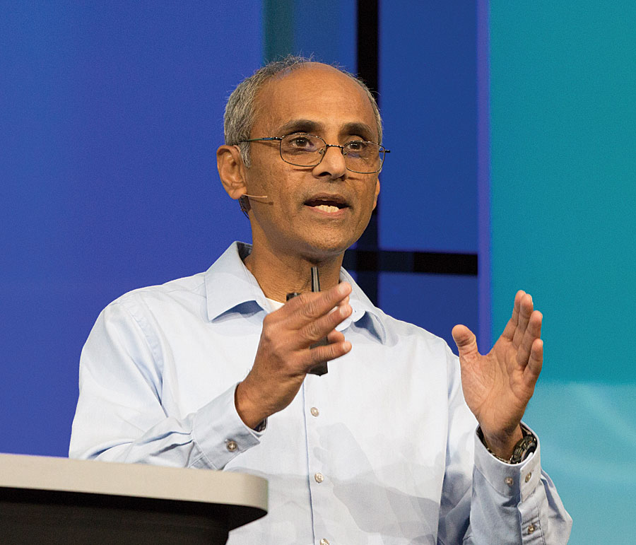
This year, Esri director of software development Sud Menon kicked off the presentations and demos with a brief, high-level overview of the ArcGIS platform, a system for managing and applying geographic information.
“Users are working with information and using applications that connect to the platform,” Menon said. “The platform provides identity—an information model that’s made up of maps and scenes, layers, analytics, and also dashboards, [and] story maps, as well as other information products.”
The platform is powered by services, Menon said. “Those services expose and work with data,” he explained. “This makes this platform truly distributed. You can implement it on-premises or in your chosen cloud.”
Menon called the new ArcGIS Enterprise 10.5—which includes ArcGIS Server, Portal for ArcGIS, and ArcGIS Data Store—”a really big release.”
“It’s a complete GIS in your own infrastructure, and it includes all of the familiar components that you expect,” he said. “It’s got the portal, it’s got GIS servers, and data stores.”
But Esri added a number of new capabilities, such as the specialized servers, which include ArcGIS Image Server, ArcGIS GeoEvent Server, ArcGIS GeoAnalytics Server, and ArcGIS Business Analyst Server.
“[The servers have] become more decoupled; they’ve become more focused on their purposes,” Menon said.

ArcGIS Enterprise 10.5 also supports portal-to-portal collaboration, Menon pointed out. Enterprise systems in each department can share live content through a central, enterprise-wide portal using item replication. For example, in a large organization, departments such as operations, engineering, planning, and customer service could share information with one another.
Menon’s subsequent presentation on ArcGIS Online included some eye-popping statistics: the cloud-based mapping platform has 3.8 million current users, 1 billion map views per day, and 18.8 million open data downloads.
“ArcGIS Online is ArcGIS available as SaaS,” or software as a service, he said. “It’s very popular. You’re making amazing use of it.”
Building Native Apps
For native app developers, Esri’s chief technology officer of developer technologies, Euan Cameron, shared some good news: there will be two updates this year to the ArcGIS Runtime SDKs version 100.0. One of the updates, scheduled for November, will be for stand-alone apps.
“It’s to support building apps that are completely stand alone from the platform…completely disconnected,” Cameron said. Developers using ArcGIS Engine or MapObjects to build their apps will be able to move to ArcGIS Runtime. Their apps will have superior performance, and they can target all the modern mobile devices.
Cameron also introduced the new open-source ArcGIS Runtime Example apps, which focus on real-world scenarios. Built with ArcGIS Runtime SDKs, Example apps can help developers get started on their next Runtime apps.

Sandie Peters, from Esri’s Android Runtime team, demonstrated an Example app for indoor mapping. Using the mobile Example app with an indoor map of Esri headquarters, she created a route from her office to the site of an on-campus meeting. The app even calculated the time it would take Peters to make the walk.
Robert “Bert” Meier enjoys seeing what’s new from Esri each year. As an app developer and employee-owner at Esri partner Bartlett & West, an engineering and technology company headquartered in Kansas, Meier is always looking for timesaving technology. He does a lot of work for railway companies, creating complex mapping apps for managing infrastructure and property.
Meier believes he has found a time-saver in AppStudio for ArcGIS. He arrived in Palm Springs before the official start of the DevSummit to take the presummit hands-on training session Build Native Apps Using AppStudio for ArcGIS.
AppStudio for ArcGIS gives developers the ability to create mobile apps for iOS, Android, Windows, Mac OS X, and Linux devices by writing code once rather than having to rewrite the code for each environment.
“This lets you write it once [for] all those different platforms,” Meier said. “It’s going to be a big time-saver.”
Attending the Esri DevSummit is important for Meier because he wants to keep up with what’s happening in the ArcGIS world and with technology overall. There’s a lot to know, and that makes Meier’s job challenging.
“It’s harder in the respect that there is so much to know [now] as a developer,” said Meier, who began using Esri technology in 1992. “The breadth of what you need to know or can know is so wide. And things change so fast that you have to be willing to change with it or [you’ll] get left behind. If you realize that and embrace it, you shouldn’t have a problem.”