When Hurricane Helene struck the southeastern United States in late September 2024, it carried devastation well inland from coastal areas, challenging response efforts across several states. In South Carolina, the storm struck in areas less accustomed to dealing with severe hurricane impacts. Enormous piles of vegetative debris, extensive road closures, and widespread power and communications outages compounded the difficulty of establishing a clear common operating picture among responding agencies.
Counties in the western part of the state were initially overwhelmed when trying to support their residents. This, in turn, hindered situational awareness and made it difficult for agencies at the local, state, and federal levels to grasp the scope of the disaster and decipher how to rapidly prioritize resources.

After struggling to gain a solid understanding of the situation, the South Carolina National Guard (SCNG) worked with selected units from its 117th Engineer Brigade (known as the Pioneer Brigade) to deploy ArcGIS technology—ArcGIS Online, ArcGIS Pro, and several apps—significantly changing the response.
Combining and Crowdsourcing GIS Data
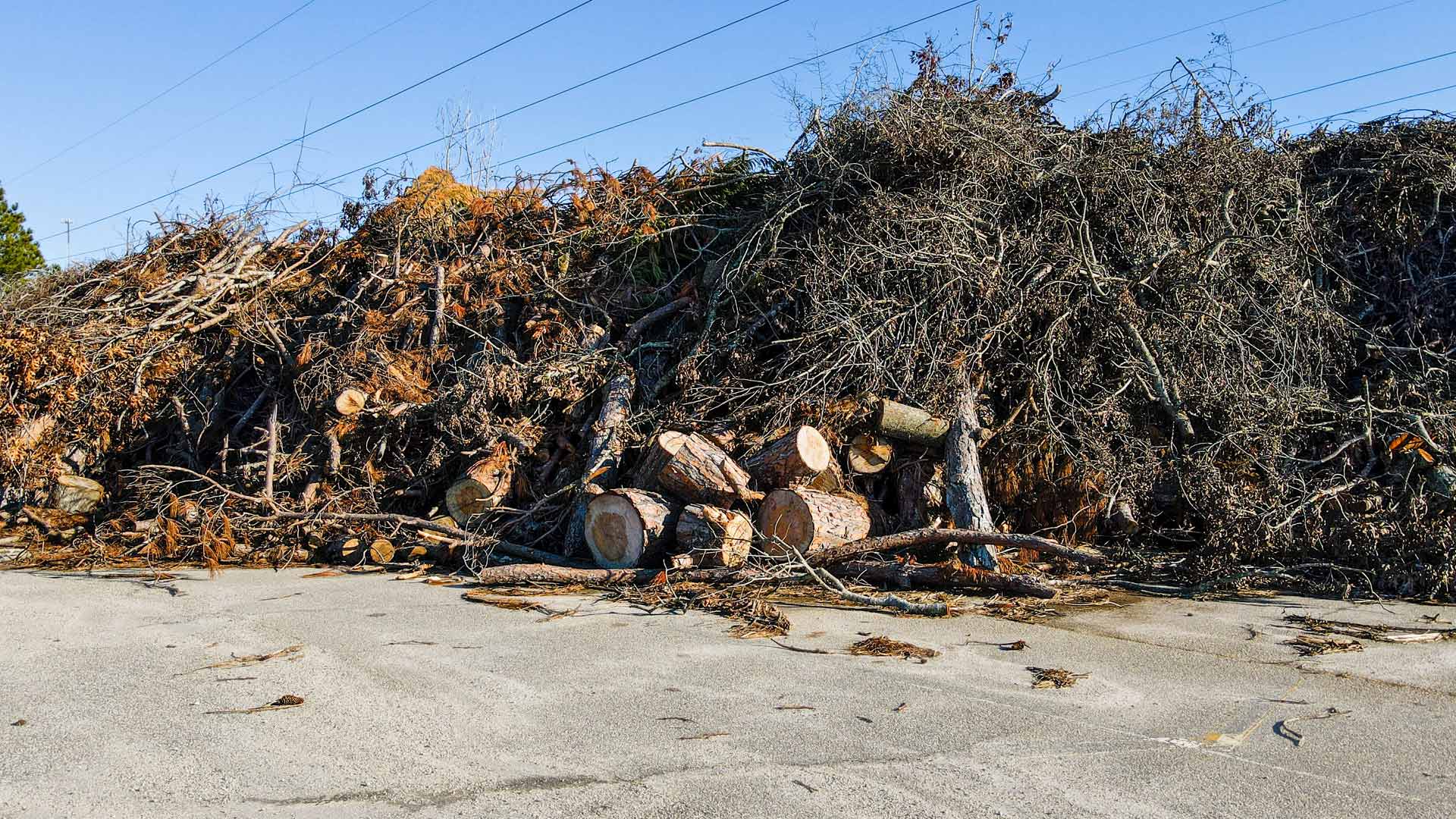
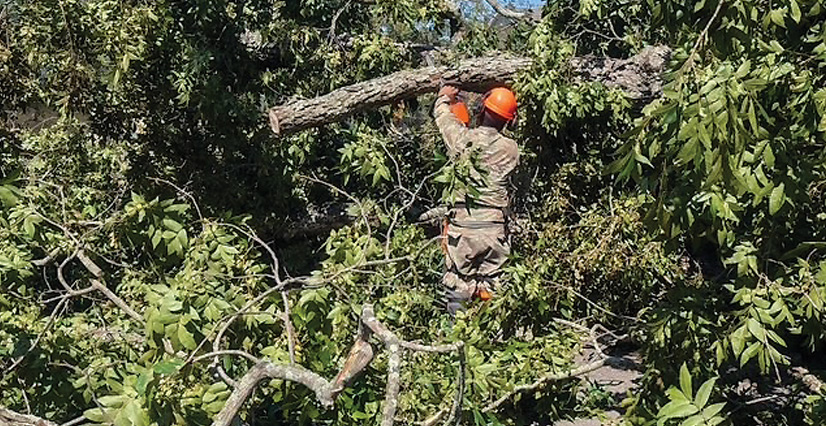
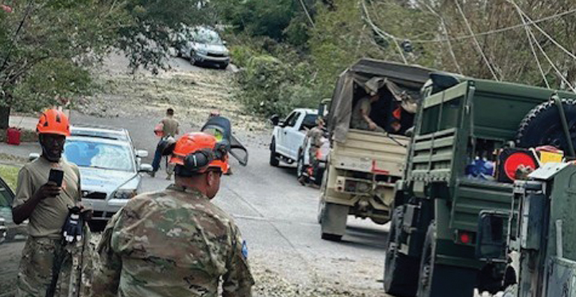
After Hurricane Helene passed, the immediate challenge was to remove trees and other debris from critical roads so emergency responders could move around and assess the damage to infrastructure and utilities. The SCNG GIS office partnered with the Pioneer Brigade to bring in satellite imagery and drone data. The two groups also set up National Guard soldiers, first responders, and residents across the state with ArcGIS Survey123 and ArcGIS QuickCapture so they could file damage reports.
The teams overlaid this crowdsourced information onto county- and state-provided road closure data to build custom damage assessment maps that helped visualize the storm’s impact. Planners from the Pioneer Brigade then used the maps to prioritize operations and delegate resources to clear vegetative debris from roads that connected affected areas to assistance.

As the focus shifted from immediate response to recovery, SCNG continued to use ArcGIS Online to track the restoration of crucial infrastructure, including roads, bridges, power lines, and water systems. To reduce redundancies and maximize limited resources, the Pioneer Brigade used ArcGIS Online as a foundational tool when partnering with local officials to map damage and prioritize repairs. The team also built interactive dashboards with ArcGIS Dashboards to help local and county emergency managers monitor vegetative debris removal in real time. This enabled them to forecast resource requirements and available capacity in a swiftly changing environment.
“By using GIS, the scope of the problem was clarified within 48 hours, and a clear picture of Helene’s impact began to take shape,” said Christy Jacobs, the state GIS coordinator for the South Carolina Revenue and Fiscal Affairs Office. “We were able to combine geospatial data from all levels of government to develop an effective response plan.”
Collaborating with Emergency Operations Centers
In Upstate South Carolina, GIS allowed seamless data sharing between SCNG and county emergency operations centers (EOCs).
For the county governments that activated EOCs, their GIS staff members were able to leverage a cross-section of datasets to elevate situational awareness. The partnering county agencies used SCNG-built dashboards and apps (created using ArcGIS Instant Apps), along with the data gathered using QuickCapture, to get the real-time status of road closures and vegetative debris management efforts. Having this information allowed county leadership to not only assess current needs but also plan longer-term recovery efforts.
“In the chaos of post-storm recovery, information is submitted in many forms—spreadsheets, handwritten notes, phone calls, and verbal reports,” said Jacobs. “Using common geospatial data allows efficiency in overall mission planning.”
Additionally, because county-level EOC staff integrated multiple sources of real-time data, they were able to use ArcGIS Pro to make rapid updates to public-facing map services. This ensured that all responding agencies could continue working together, using ArcGIS technology and up-to-date data, as the event evolved.
-
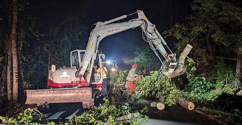
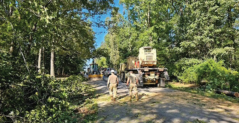
SCNG and local authorities worked to clear vegetative debris from roads.
Working from a Common Operating Picture
Centering the geographic approach in South Carolina’s Hurricane Helene response and recovery operations had an array of positive effects. When every hour that passed mattered, GIS reduced the amount of time analysts spent transcribing information from first responders and SCNG units. As response shifted to recovery, it allowed leaders to conduct meaningful analyses to determine where resources were needed most—both in the moment and days or weeks in the future. And when many residents were stuck in place or didn’t know how to get to their loved ones, dashboards and web apps provided them with faster updates than they could have gotten otherwise.
Ultimately, implementing the geographic approach fostered a common operating picture that was vital in determining priorities across multiple programs.
“Thanks to SCNG’s—and Christy’s—efforts, we were able to integrate real-time field intelligence and share that information on-screen to support decision-making inside the county’s EOC,” said Michael Herzberger, deputy director of the South Carolina Office of Regulatory Staff’s Broadband Office. “Collectively, the team was able to communicate spatially, which was vital in determining priorities across multiple programs supporting field efforts throughout the jurisdiction.”
Building Trust with Other Agencies
Hurricane Helene reinforced the importance of having stakeholders work together to understand available tools and resources during emergency operations. Interagency collaboration—enhanced by the use of ArcGIS technology—streamlined decision-making when it mattered most. For local and county emergency managers, having the ability to access and use geospatial data ensured that hurricane recovery efforts were well informed and effectively executed.

While SCNG leadership has employed GIS for years in response and recovery planning, the real breakthrough during Hurricane Helene came from having people in multiple agencies use the technology in real time to engage with one another and develop a comprehensive understanding of the situation. Responding agencies from various levels of government were able to collaborate effectively—establishing open communication, promoting effective data sharing, and building trust. Teams innovated in ways that were both timely and highly relevant to the immediate needs of counties across the state.
Hurricane Helene, of course, affected more than South Carolina. Residents of North Carolina, Georgia, and Tennessee all experienced devastating impacts from the storm. Agencies across geographies, serving various populations, are always looking for ways to improve disaster response and recovery. Putting GIS at the center of these efforts can benefit disaster recovery in every state.
SCNG will continue to use ArcGIS technology to plan and coordinate storm preparation and recovery operations.
“As hurricanes continue to threaten South Carolina, innovating ways to leverage technology will remain a critical component of disaster response and resilience planning,” said Col. William Matheny, commander of the Pioneer Brigade. “The SCNG is always ready and will continue to seek out ways to collaborate in support of the residents of the Palmetto State.”