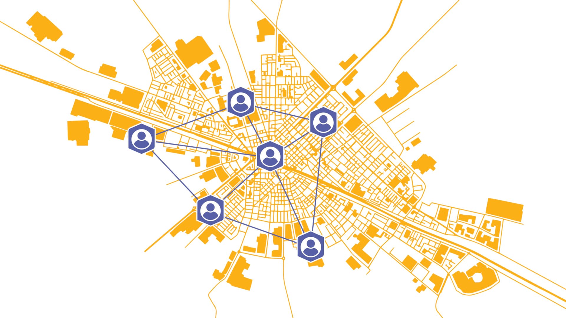
ArcGIS apps and capabilities are primarily available through role-based user types, annual licenses that determine what privileges each member of an organization has (what they can or cannot do) and what apps they can access.
The six distinct user types align with various workflows and offer progressive privileges. But it’s not always obvious which user type is best for which team member.
Choosing the most appropriate user type helps everyone—from mobile inspectors to executives—access the tools they need to contribute to the organization’s goals.
So how do you ensure each team member has the right user type? Consider this scenario-based approach: Picture a midsize city with a few common organizational roles. With the right user type for each role, city staff can function together as one cohesive geospatial organization.
User Types
Mapmaker

Scenario: A GIS analyst in the city planning department is creating a series of web maps and an ArcGIS StoryMaps narrative for a public hearing on a proposed zoning change. The analyst needs to combine data from various sources, such as parcel records, environmental overlays, and demographic data. They’ll perform some basic analysis, such as creating buffers and selecting features, and then design a compelling, interactive map presentation for nontechnical stakeholders.
Recommended User Type: Creator
The essential building block for any ArcGIS implementation, this user type provides the foundational tools needed to create, manage, and share spatial content. Map Viewer access allows the analyst to build web maps, configure pop-ups, and set symbology. This user type also includes ArcGIS Pro Basic—perfect for data preparation and basic analysis tasks. With a Creator user type, the analyst can publish data as web layers and share maps and apps across the organization and with the public. (Note that any GIS administrator needs at least one Creator user type to manage users, content, and permissions.)
Data Manager

Scenario: A civil engineer at the city airport manages authoritative computer-aided design (CAD) and GIS data for airfield assets such as runways, taxiways, and lighting systems. They ensure that the data is accurate, up to date, and integrated into the enterprise geodatabase, often working with data in different formats and performing advanced editing tasks such as maintaining topology and managing multiuser editing sessions.
Recommended User Type: Professional
This user type is designed for GIS professionals and data managers who require advanced data editing and management capabilities. It has everything in the Creator user type plus ArcGIS Pro Standard, including the tools necessary for managing complex datasets—such as ArcGIS Utility Network for modeling connected systems or ArcGIS Parcel Fabric for managing land records. This user type provides a robust toolset needed to maintain the integrity of critical infrastructure data and manage a versioned multiuser geodatabase.
GIS Professional

Scenario: A senior GIS analyst in the county’s environmental protection department is conducting a habitat suitability study for an endangered species. This requires the analyst to work with a wide range of raster and vector data, perform complex geoprocessing tasks, and build predictive models using advanced statistical tools. The final output will be a series of high-quality cartographic products for a scientific journal and an interactive web app for internal planning.
Recommended User Type: Professional Plus
This user type is the ultimate package for the advanced GIS analyst, cartographer, or data scientist. It includes ArcGIS Pro Advanced and a comprehensive suite of extensions such as ArcGIS 3D Analyst, ArcGIS Geostatistical Analyst, and ArcGIS Spatial Analyst. It’s best for sophisticated analysis, big data processing, and production-ready cartography. The analyst can leverage advanced modeling tools, automate complex workflows, and create visually attractive maps.
Executive

Scenario: The director of emergency services needs to monitor storm response activities from the emergency operations center. The director doesn’t create data or build maps, but needs a constant, high-level view of incoming data from various sources. Their primary need is to access a series of dashboards that display real-time field crew locations, incident reports, and resource allocation.
Recommended User Type: Viewer
A Viewer user type provides secure, view-only access to maps, dashboards, and apps created by others. It allows decision-makers to explore data, monitor key performance indicators, and achieve situational awareness without creating or analyzing data. The Viewer user type, which includes access to a wide range of apps such as ArcGIS Dashboards, ArcGIS Experience Builder, and Map Viewer, is the most cost-effective option for users whose primary interaction with GIS is consuming information.
Supervisor

Scenario: A supervisor in the parks department is responsible for overseeing the maintenance of park assets. The supervisor doesn’t perform complex GIS analysis but needs to mark up projects in ArcGIS GeoBIM, an Autodesk integration. They also sometimes add notes or photos to asset locations to provide context for the team.
Recommended User Type: Contributor
The Contributor user type includes all the capabilities of Viewer but adds the crucial ability to edit and contribute to existing data. This user type is perfect for stakeholders and supervisors who are part of a larger GIS workflow and need to perform simple data edits, quality checks, and updates via web or mobile apps. The supervisor can view ArcGIS Field Maps and edit ArcGIS Survey123 forms to interact with and enrich the organization’s data, helping to ensure its accuracy and timeliness.
Mobile Operator

Scenario: A water utility crew member receives work assignments and logs updates from their truck. They also need to collect data on-site, sometimes in areas with no service.
Recommended User Type: Mobile Worker
Designed for field operations, the Mobile Worker user type allows ArcGIS users to view, collect, and edit data using ArcGIS field apps. They can also share their location and record location tracks, making this user type ideal for field technicians.
A Collaborative Approach
For the most effective licensing strategy, many GIS administrators adopt a collaborative, workflow-driven approach. This involves engaging directly with various departments to build a comprehensive understanding of their day-to-day needs before assigning user types.
GIS administrators or managers should facilitate discussions about work, not software. Teams from various departments can outline their specific tasks and challenges. For example, mobile crews might detail how they document asset maintenance, while planners describe their process for reviewing development proposals. Understanding these workflows will point GIS administrators to the right user type.