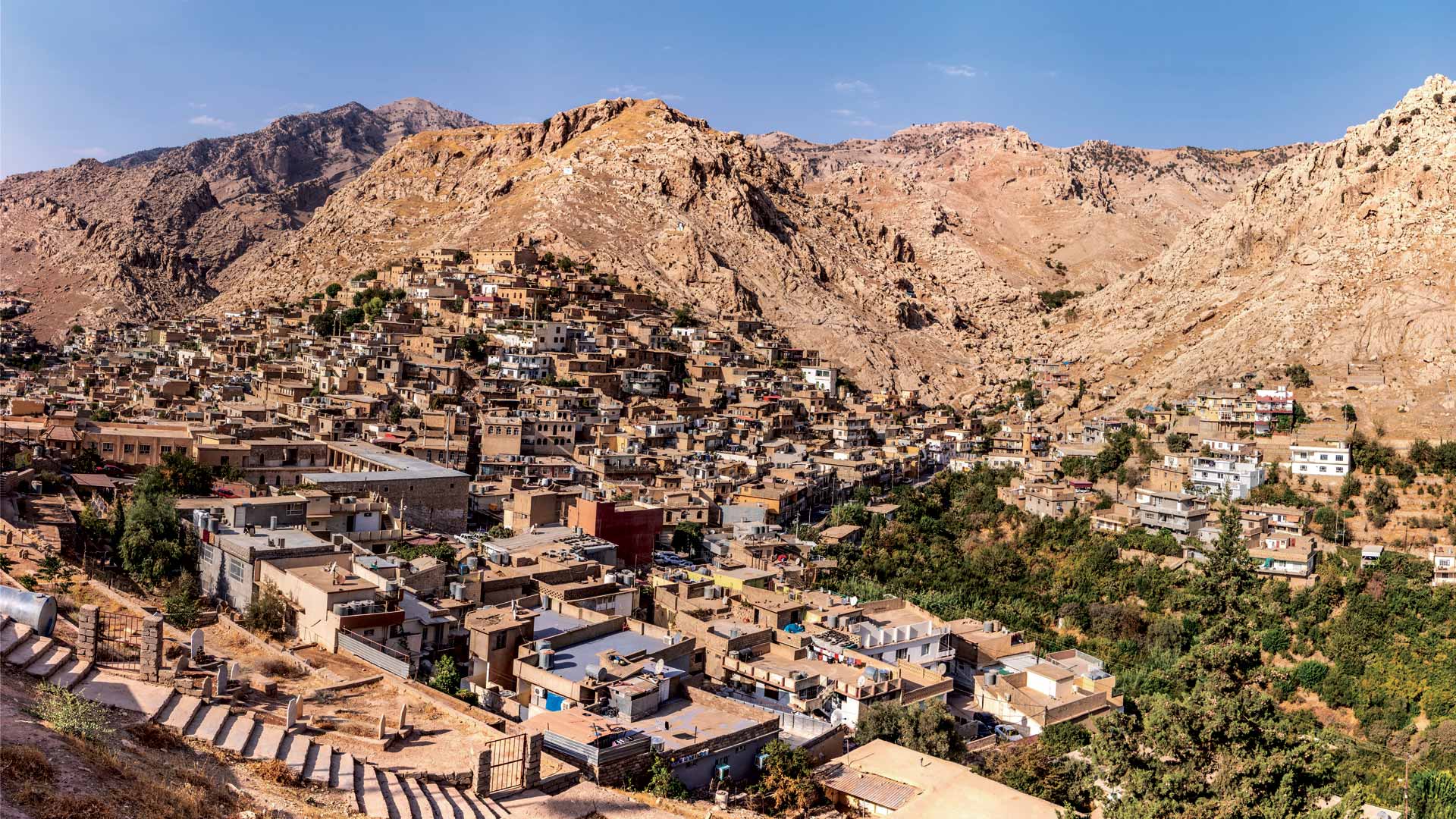
For two days in November 2024, Iraq shut down almost entirely to conduct its first full census since 1987. Some 125,000 census workers with tablets went door to door to count every resident in a nation that spent nearly four decades consumed by war, occupation, and sectarian violence.
The shutdown was controlled. People could visit shops for essentials but couldn’t travel between districts. Movement between cities was banned. Streets that had emptied so many times during conflict were now cleared by design rather than fear. Families stayed home and waited for census workers to arrive.
“An accurate census is essential for ensuring equitable representation and informing critical decisions regarding investments in health care, education, and housing that affect all residents,” said Linda Peters, global director of official statistics at Esri. “By providing comprehensive data on current conditions—including population distribution, living arrangements, and family composition—a census facilitates the fair allocation of resources to effectively serve Iraqi society.”
The census form was long and detailed. Workers often made two or three visits to each household. They asked extensive questions about people’s dwellings—the condition of buildings, the number of rooms, the types of utilities and appliances—as well as household composition and economic circumstances. They also documented building damage to understand where rebuilding still needed to happen. The message before, during, and after the census centered on development—capturing data to meet people’s needs.
This operation would have been impossible just years earlier when the Islamic State, or ISIS, controlled large portions of the country. Sectarian violence made coordinated national efforts unthinkable. But Iraq had achieved enough stability to complete an ambitious census that would reveal not just how many people had survived decades of conflict but also where they lived, what they needed, and how the government could finally plan for their future.

The final count reached 46.1 million people—an increase of 14.5 million since the last unofficial estimate in 2009. The data showed what statisticians call an expansive pyramid: a large young population at the base with more than half born after 2003, supporting smaller numbers of middle-aged and elderly residents. It’s the structure of a nation rebuilding and looking forward, with the comprehensive data foundation needed to make informed decisions about where to build new schools, hospitals, and roads—and where to deliver services—for the first time in decades.
Technology Enables the Count
Planners at the country’s Commission of Statistics and GIS (CSGIS) agency used satellite imagery and ArcGIS Pro to divide Iraq into enumeration areas—geographic zones sized so each census worker could survey roughly 50 households within the two-day window. Each of the 125,000 mobile workers received a tablet preloaded with satellite imagery showing their assigned area and the households they would survey.
The tablets ran a mobile data collection app developed by RealSoft, an Esri partner from Jordan, that integrated the incoming data into ArcGIS. The census itself demonstrated Iraq’s improving connectivity infrastructure. Workers relied on mobile networks to transmit data in real time across most of the country. The results validated this progress: Roughly 80 percent of Iraqis now have internet access. While gaps remain—particularly in desert regions and remote villages—this expanding digital infrastructure both enabled the census and revealed where investments in connectivity could serve citizens and unlock economic opportunities and government services.
Atlas GIS, Esri’s distributor in the region, played a crucial role in building this technical capacity. Staff hosted services and training workshops that enabled the CSGIS team to migrate from ArcMap to ArcGIS Pro. They also provided ongoing technical support throughout the census operation.
Officials monitored progress from a command center where dashboards built with ArcGIS Dashboards tracked completion rates and flagged areas needing support. The geospatial planning involved designing reports that could quickly tabulate the data to provide insights about the questions the census was designed to answer, guiding data-driven decision-making.
The geospatial framework proved essential for managing an operation across a country still rebuilding from conflict. Iraq’s infrastructure remains uneven—some neighborhoods have reliable electricity and internet, while others lack basic services. The census planners used GIS to map these disparities, ensuring that enumeration areas accounted for factors like road conditions, security considerations, and communication infrastructure. This same geographic intelligence that enabled the census will now guide reconstruction priorities, showing exactly where new schools, hospitals, water systems, and power grids are most needed.
What the Census Left Out
Census planners made a strategic decision: no questions about ethnicity or religion. Ignoring all political pressure, the questionnaire focused solely on Iraqis’ practical needs, such as housing, education, employment, and infrastructure.

Iraq’s population includes Arabs, Kurds, Turkmen, Assyrians, and other groups, along with multiple religious communities. The country’s post-2003 political system operates on a delicate sectarian power-sharing arrangement. This makes demographic data potentially volatile. Questions about ethnicity derailed previous census attempts. This time, officials avoided those questions entirely.
An extensive media campaign promoted the effort under the slogan “Census for Development.” Prime minister Mohammed Shia al-Sudani reinforced this message in an official address, stating that “the census is not merely an accumulation of numbers but the dividing line between estimation and facts—a decisive tool for making effective and vital decisions.” The messaging emphasized that accurate data would drive the fair distribution of resources and guide infrastructure investments. It succeeded: People cooperated with census workers.
Security forces provided crucial support, particularly in neighborhoods where workers might face resistance. Some residents, especially those receiving social security benefits, worried that disclosing details about their households might threaten their assistance. In these areas—often poorer neighborhoods with lower education levels—police protection helped ensure workers could complete their jobs safely.
From Census Data to National Planning
The results of the census carry substantial implications for Iraq’s political and administrative planning. The census took place November 20–21, 2024, with preliminary results announced November 25. The final, more detailed results were released a year later, in November 2025.
Iraq holds elections every four years for both national and regional governments. Parliamentary representation is tied to population, with 100,000 people corresponding to one parliamentary seat. Since the census results came in after the 2025 election, it will be another four years before any shifts in population affect parliamentary outcomes.
The federal budget will now be distributed according to actual population figures rather than estimates. This addresses a long-standing source of friction between provinces and establishes a data-driven basis for resource allocation.
The census documented not just where people live but also the quality of their housing, their access to basic services, and their economic activities. This detailed information enables targeted investments in areas that have lagged behind.
One of the most concrete development priorities involves education. The government has announced plans to build thousands of new schools based on census findings. The geospatial framework lets planners identify optimal locations by analyzing population density, age distribution, existing school locations, and transportation networks. This geographic approach promises to place schools where they’re most needed rather than where political considerations might otherwise dictate. Similar logic applies to roads, water systems, electricity grids, and health-care facilities.

The census establishes a baseline for measuring progress. Iraq’s tradition has been to conduct a census every decade, though conflict prevented that for nearly four decades. If the country maintains this schedule, the next count will show whether living conditions improved, displacement reversed, and opportunities expanded.
A Generation Born After War
More than half of Iraq’s population was born after 2003. For this generation, the conflicts that dominated their parents’ lives—the Iran-Iraq War, the Gulf Wars, the sectarian violence, the ISIS occupation—have abated. The demographic data confirms what’s visible on Iraqi streets: a vibrant young population that expects connectivity, education, and opportunity.
The census provides the foundation to meet those expectations. Population clusters reveal where development has concentrated and where infrastructure gaps remain. The geographic data identifies neighborhoods with overcrowded schools, areas where water and electricity access lags, and regions where economic activity could expand with targeted support.
Recent years have shown what stability enables. Baghdad has seen new towers rise, infrastructure restored, and schools and hospitals reopened. The census documents this progress while identifying where similar investments will have the greatest impact. Those who grew up during decades of instability often speak of wanting different futures for their children—futures the census data can now help plan systematically.
International opportunities followed the completed population census. Iraq’s statistical delegation visited Armenia with support from the United Nations Population Fund to share their methodology and experience. Iraq presented its census workflow improvements and the digital transformation of civil registration and vital statistics.
For a country that spent nearly 40 years disrupted by conflict, the census represents a shift toward evidence-based governance. The foundation exists to plan systematically for a population that, for the first time in generations, has reason to expect stability rather than crisis.