Oklahoma Automates Election Data Maintenance, Improving Accuracy
After moving to ArcGIS Pro, the small team that manages the state’s voting-related street records made the data easier to share and use.
After moving to ArcGIS Pro, the small team that manages the state’s voting-related street records made the data easier to share and use.
How should GIS managers address ethical obligations to individuals and societies? With a GIS Code of Ethics.
When employees across an organization map, maintain, and access land records from a shared platform, they can prepare for the unexpected.
As the country maps every building, parcel, and property boundary in 3D, it is transforming how property rights are managed.
When planners can see their communities’ plans in context, they’ll be able to gauge the effects across counties, nations, and regions.
Interactive maps help the economic development authority support initiatives ranging from affordable housing to small business growth.
Cuyahoga County, Ohio, has convinced 59 different entities—each with its own priorities—to adopt a collaborative geospatial ecosystem.
When Category 5 Hurricane Melissa slammed into Jamaica in October 2025, Alicia Edwards and her team moved quickly to assess the damage.
As technology at Jefferson County evolved, the GIS team used this opportunity to rebuild relationships with partners and stakeholders.
Gabriel Ortiz has devoted his life to geography and technology. He and his team in Cantabria, Spain, use GIS to innovate at new scales.
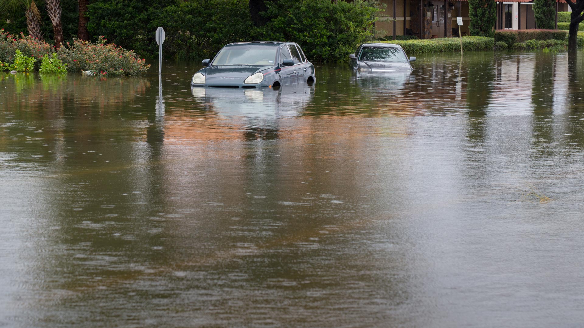
When every second counts, having the most powerful tools before, during, and after flooding is integral to community safety.
For the first time since 1987, census workers went door to door and used GIS to get the data the government needs to make decisions.