Map Viewer beta in ArcGIS Online opens the door to the next generation of mapping. Its intelligent defaults help users quickly create maps, and its instant visualization of settings and data filters encourage exploration. Map Viewer beta is available to all ArcGIS Online and ArcGIS Enterprise 10.8 users.
Many of the features included in Map Viewer beta—such as layer groups, cluster labeling, improved symbology, and layer blending—have been requested by users. Read on to see what each feature entails.
Grouping Layers
Users can organize the layers in their maps and apps into groups using the layer groups functionality. With layer groups, it’s easy to turn groups of layers on and off and quickly reorder them. Users can also employ layer groups to show more levels of geography for a single dataset. This makes it easier to look at topics like how commuter habits align and differ at the state, county, and tract level.
Labeling Options for Clusters
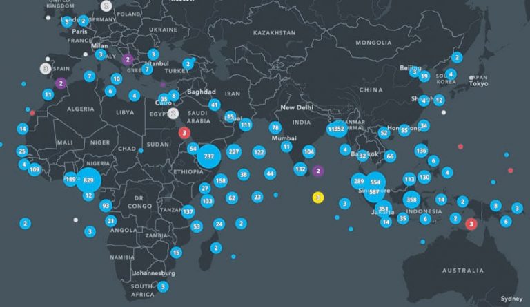
Point clustering solves the dilemma of having overlapping points by grouping points together and providing one symbol for all of them. With Map Viewer beta, users can add clarity to their clusters by including a label that appears on each symbol. The label can show the number of points in the cluster or the average value of the clustered points. Users can customize the font, size, placement, offset, and halo of their labels. They can also set the minimum and maximum size for the clusters.

Improved Symbology
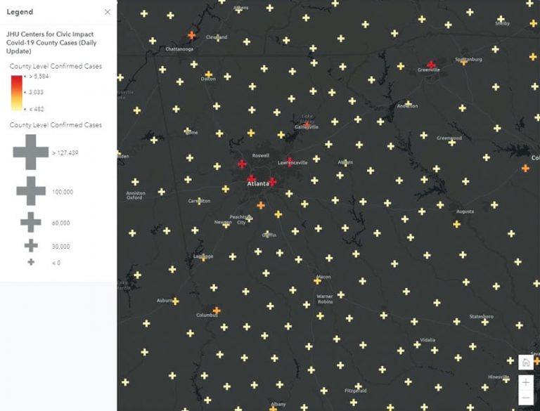
Map Viewer beta has new vector point symbols as well. Because they are Scalable Vector Graphics (SVG), the integrity of the shapes is preserved when scaling, which makes a cleaner, better-looking map. Users can also change the colors to fit their map. These new vector point symbols come from 2D web styles published in ArcGIS Pro 2.6. This means users can also publish their own web styles in ArcGIS Pro and display them in Map Viewer beta.

Sophisticated Layer Blending
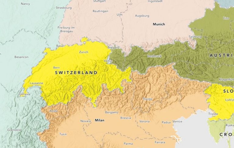
In Map Viewer beta, there are more than 30 blend methods, which take two or more layers and blend the pixels that each layer normally draws. This gives users control over what shows through each layer and how colors and textures between layers appear. While this may sound like layer transparency, it’s not. Blend methods give users the power to enhance their maps without obscuring them. The interface in Map Viewer beta encourages users to explore with blending, too. It’s a property setting, meaning that the layers remain independent. To return to the layers’ original state, all users have to do is turn blending off.


