Recognizing users’ strong interest in the emerging field of spatial data science, Esri is adding a new course—Spatial Data Science: The New Frontier in Analytics—to its popular lineup of massive open online courses (MOOCs). Opening in 2020, the course will explore how incorporating spatial data, tools, and methods enhances analytical and predictive models.
Data scientists, GIS analysts, and others with a strong background in statistics and analytics will find the course beneficial. Attendees should plan to spend three to four hours per week on the course. Esri will award a certificate of completion to everyone who completes the MOOC. And as with all Esri MOOCs, the course is free and includes access to ArcGIS software for the duration of the program.

What Exactly Is Spatial Data Science?
Like data science, spatial data science employs methodologies and tools to extract nonobvious and useful patterns from data, enabling practitioners to make predictions. However, by incorporating geographic data and spatial analysis methods, spatial data science adds place-based context and deeper insight to the practice of data science.
“We’re excited to introduce spatial data science concepts and workflows to analysts and data scientists who want to understand how to take their analysis to the next level,” said Shannon Kalisky, product manager for analytics and data science at Esri.
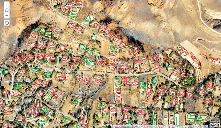
In the MOOC, participants will explore how to use spatial data for data science, develop iterative analysis workflows, train and optimize models, perform artificial intelligence (AI) workflows, build compelling and collaborative information products, and share results.
“Esri’s application programming interfaces (APIs) and tools make it possible for models to process data from multiple formats, scales, and volumes,” Kalisky continued. “In the course, learners will apply many of the spatial data science tools to investigate a variety of realistic scenarios.”
Growing Knowledge the MOOC Way
Since Esri launched the MOOC program in 2014, 180,000 learners from around the world have participated in courses on spatial analysis, the value of the geospatial perspective in business, how to build geo apps, and cartography.
Spatial Data Science: The New Frontier in Analytics is planned to open in early 2020. It will be a multiweek course that explores the nature and promise of spatial data science. Videos featuring Esri experts, hands-on software exercises, quizzes, and interactive discussions create a highly engaging environment in which learners are encouraged to explore, seek out answers to their questions, and solve problems together.
For course details and to register, visit the MOOC’s website. To receive updates about the course, as well as spatial data science news, join the Spatial Data Science: The New Frontier in Analytics group on LinkedIn.

