In the late 1970s, Dr. Josef Strobl envisioned cartography as a field that was well-suited to computers. He didn’t think that the manual processes of drafting and scribing would need to dominate mapmaking for much longer.
During his first two years as an undergraduate student at the University of Vienna in Austria, Strobl—who was studying geography in hopes of becoming a cartographer—picked up computer programming on the side.
“It was just for the fun of it,” Strobl said. “And then, of course, I thought, ‘Why not use the computer to do maps?’ And I ended up with that combination.”

For someone who initially didn’t plan to go to college and who just wanted to spend time climbing mountains, Strobl’s thinking about where his chosen fields of study—cartography and geography—were headed was quite progressive for the time. Now, as a professor of geoinformatics at the University of Salzburg, Strobl gets to shape the future of digital mapmaking through his research and collaboration with people who work in fields that range from forestry to the steel industry, as well as via the students he teaches.
“I love to observe where graduates go, what they do, and what they achieve,” Strobl said. “More and more, I am motivated by seeing what former students or partners or colleagues can achieve—and that always brings up new questions. It’s a cycle of curiosity.”
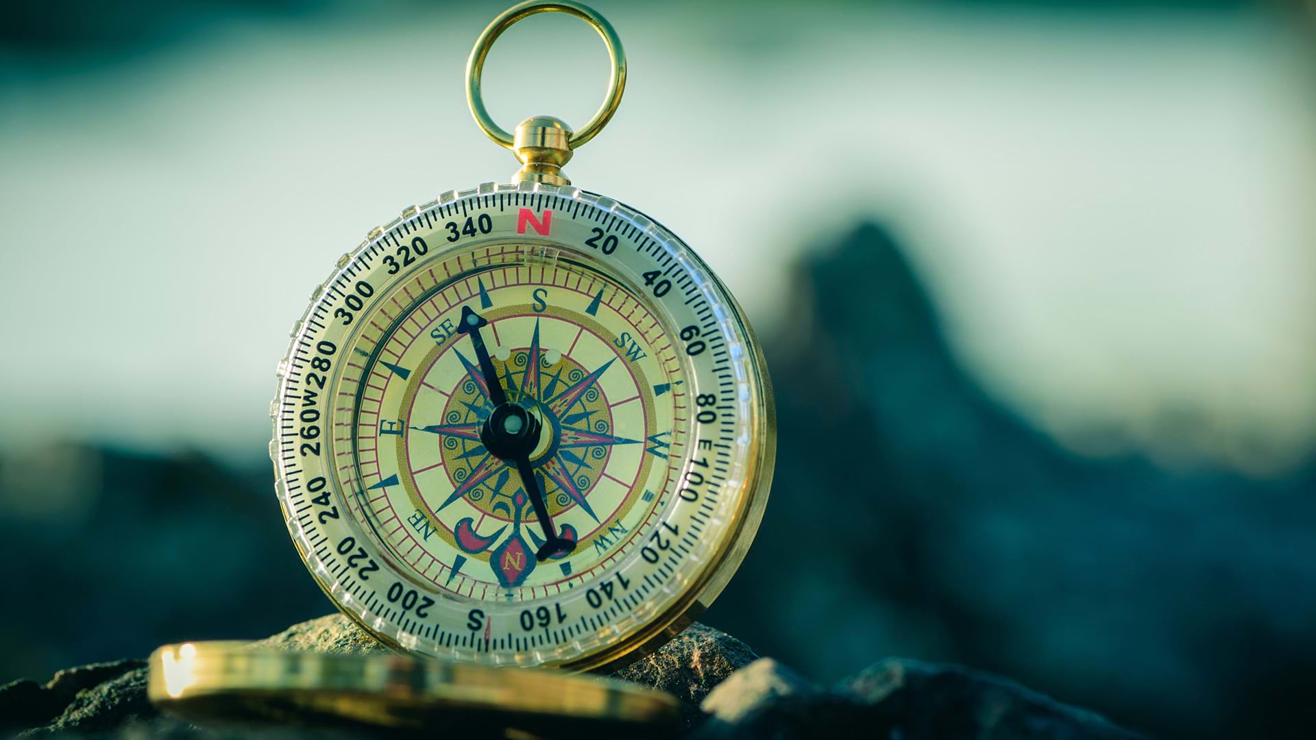
A Mountaineer Who Loved Maps
Strobl was a devoted mountaineer in his teenage years. He guided groups on mountain climbing adventures, where he was responsible for planning routes and preparing the equipment.
“In those days, there was no GPS, no digital maps,” he said. “I spent quite a long time doing traditional navigation tasks, guiding people based on paper maps.”
That’s what initially got Strobl interested in mapping. After he completed his compulsory military service in the Austrian army, he decided to go to university and study cartography. At the University of Vienna, he had to begin his education with two years of geography before starting down the cartography track, and he ended up liking geography a lot.
“I graduated with a degree in geography, full stop,” he said. “I did not complete the cartography track because I would have had to do a lot of manual drafting and scribing.”
Strobl completed both a master’s and a PhD in geography. For his master’s, Strobl applied statistical methods to study the relationship between a location’s climate and its agricultural production potential. His PhD work revolved around studying glacier dynamics, which allowed him to spend summers in the mountains.
“I found a PhD adviser who was happy to supervise me but let me work independently, which was good,” Strobl said. “I had the opportunity to go explore and use new technology.”
Strobl was the only geographer on a team of meteorologists and geophysicists who were examining glacier mass balances.
“They were naturally asking me, ‘Well, you could do the maps, right?’ And of course, I wanted to apply my newfound coding skills by doing this in a reproducible way,” said Strobl.
He started producing the maps by hand, but he soon moved to creating digital maps of annual glacier mass balance—the net gain or loss of glacier mass each year.
“To estimate the impact of solar radiation on glacial melt, I created my own elevation models from digitized contours by coding my own routines,” he said.
Those maps ended up being a big part of his PhD dissertation.
Taking a Foray into GIS
After Strobl completed his PhD, he became an assistant professor at the University of Salzburg. He liked that he could live so close to the mountains and be adventuring in them within 15 minutes.
Shortly after joining the university, Strobl worked with a geographer who was using GIS at Berchtesgaden National Park in Germany. That was Strobl’s introduction to the technology.
“As far as I know, that was the first ARC/INFO installation in Germany,” Strobl said of the implementation. “And this guy was asking me, ‘Why don’t you get into this instead of just digital mapping?’”
Strobl’s university didn’t have the funding to get a full ARC/INFO license, but when PC ARC/INFO was announced right around that time, Strobl jumped on the chance to use it. This new product took GIS from operating on mainframe computers to functioning on personal computers.
“When PC ARC/INFO was announced, I used my first funded research project to get the license,” Strobl said. “It took nearly two years until it was actually delivered.”
Strobl believes that he had one of the first PC ARC/INFO licenses in the German-speaking world.
Building on his graduate work of creating digital elevation models for glaciers, Strobl began using PC ARC/INFO to expand on his earlier models so they could be used to analyze terrain for different purposes.
“At the time, we were happy to be able to explore what could be done with different functionalities or pieces of software,” Strobl said. “Doing terrain modeling and analyzing physical processes in the real world—like, where does the water go after the snow and ice melt—was always the frame for the work. Analyzing the interaction between atmospheric and astronomic parameters, terrain, land use, and land cover—that was the broad field I was interested in.”
Cartography as Communication
What Strobl and his GIS-using colleagues were producing back then were maps as an end product, as Strobl puts it.
“The map was the product,” he said. “But I have an entirely different view today of what a map should be, and it involves much less automation of a production process and more focus on maps being media for communication and knowledge creation.”
Before, according to Strobl, users had data, created symbology for it, and put that on a map. Then map readers would decode the information and hopefully arrive at the conclusions the mapmaker intended to communicate. It was a one-way transfer of information.
“Today, it’s dynamic and interactive,” Strobl said. “I wouldn’t try to put everything onto a map. I make the map a framework for exploration. We have widgets and pop-ups and let the map reader select layers and symbology and adjust the study area. So now, the map serves as a frame for interaction; dialogue; exploring; and, ultimately, participation.”
Strobl has always tried to make GIS, geospatial science, and geoinformatics more approachable to people. Thirty years ago, he worked with colleagues in the Netherlands and the United Kingdom to found UNIGIS, which was the first distance-learning program to offer degrees in GIS. It is geared toward professionals who want to learn more about GIS and apply the technology to their work.
“In those days, there was a huge number of people who, in their studies, did not have the opportunity to learn GIS,” he said. “Now, the majority of students in UNIGIS may have had a little taste of GIS in their programs and are exposed to it in their professions, and they want to future-proof their careers.”
Strobl has founded several community-based events and organizations over the years as well, including GI_Salzburg, an amalgamation of two originally separate symposia—the GI_Forum and the German-language Applied Geographic Information Technology (AGIT) conference.
“We wanted to put together an event where the focus was not just on technology,” Strobl said. “People get to talk to peers, compare notes, and exchange experiences. Of course, there are also workshops, lectures, and presentations.”
Strobl was also instrumental in establishing the Salzburg iDEAS:lab, named for integrated digital earth applications and science. The lab provides a way for the public in Salzburg to learn more about science, GIS, and using geomedia as everyday tools. It hosts teacher education workshops and offers hands-on activities for pupils.
Most of Strobl’s current work focuses heavily on community science and fostering public participation. In these settings, he uses the term digital earth to reach an extensive spectrum of people who might be turned off by the “geo” or “information science” labels associated with these fields.
“Using the term digital earth gives us the opportunity to reach out to a broader audience because ‘digital’ and ‘spatial’ are pretty much everything in life today,” Strobl said. “It’s about being more inclusive and bringing more people into the fold but not requiring them to identify as GIS people.”