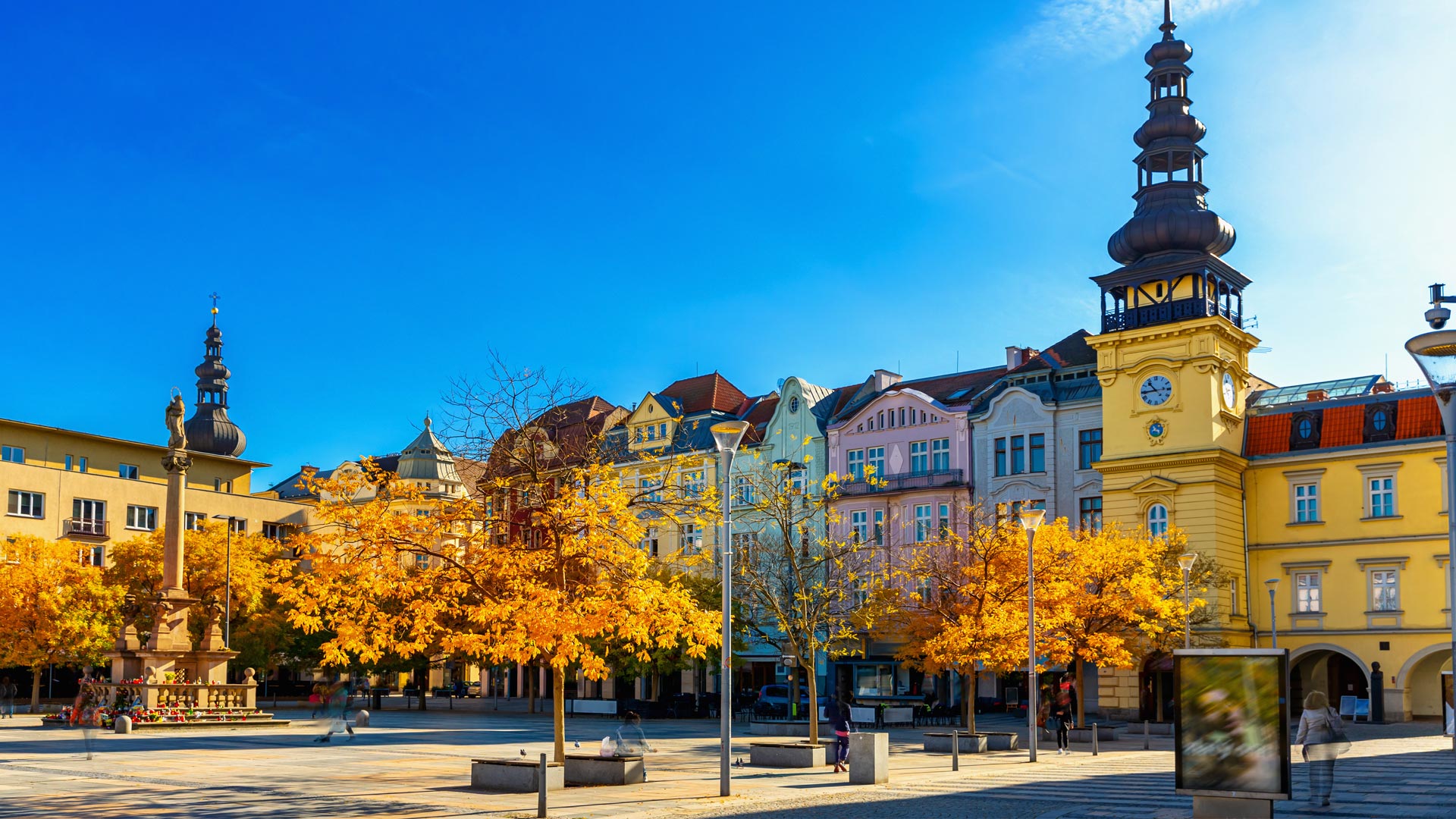
Ostrava is the third-largest city in the Czech Republic by both area and population. This metropolis—home to 295,000 residents—aims to become a cycling-friendly city where people regularly ride bikes as part of their daily routine. The urban environment supports this goal, and it aligns with the broader objectives of the city’s strategic plan.
The current situation in Ostrava, however, isn’t so conducive to cycling. The city’s polycentric layout, long distances between key locations, and robust road network reinforce residents’ car-centric approach to mobility. As in many other Czech cities, the majority of residents perceive cycling as a hobby.
In May 2024, Ostrava’s city council approved the new Cycling Transport Strategy created by the Municipal Studio for Urban Planning and Architecture (MAPPA). The strategy’s authors drew inspiration from a methodology developed in the Netherlands—a country that reportedly has more bikes than people. It centers on five principles that make cycling infrastructure work in any city, regardless of its size, topography, or climate: routes must be connected, direct, comfortable, safe, and visually appealing.

MAPPA used ArcGIS Field Maps to collect data on specific streets and public spaces to see how these principles could be applied in different situations across the city. The organization then used ArcGIS Experience Builder to build an app that shows well-connected bike paths, lanes, and streets with reduced traffic, where cyclists could move around Ostrava safely and smoothly.
The strategy’s ultimate goal is to shift residents’ mindset from viewing cycling as just a sport to embracing it as a regular mode of transport.
Finding Answers with Data
As the team from MAPPA began developing the strategy, several key questions came to mind. So MAPPA’s data specialists used ArcGIS Pro to analyze available city datasets and Field Maps to conduct new field surveys. Here are some of the questions urban planners and transportation specialists asked, as well as how GIS filled in the knowledge gaps.
Which intersections should be redesigned first, and which missing links would benefit cyclists the most?
To build a well-connected network, cyclists must be considered on every street and in every significant public space. When deciding which crossings and connections to prioritize, MAPPA focused on the continuity of current infrastructure, the number of people—both residents and visitors—who would be affected, and average bicycle-based travel times.
What are Ostrava’s cycling conditions like today?
To make cycling a more competitive mode of transportation, routes should be short and free from detours. In Ostrava, this means that different types of streets may need to be adjusted. Comparing a street’s current state with proposed cycling infrastructure helps identify where changes are needed most.
Based on this, MAPPA was able to classify routes as suitable, acceptable, or unsuitable. This prepares the city to make traffic regime changes at opportune times, such as when performing planned repairs on water or sewer infrastructure.

Can cycling tracks—separate bike lanes—fit on specific streets?
On streets where cars travel faster than 30 kilometers per hour (about 18 miles per hour), the safest option is to separate cycling infrastructure. But to make this possible, the street must be wide enough.
So the team from MAPPA analyzed street widths using Ostrava’s Digital Technical Map, a federal government-mandated map of the city’s infrastructure. The team measured the space between buildings, including sidewalks, and found that in residential areas, more than 83 kilometers (50 miles) of streets are wide enough to accommodate some type of separate cycling path.
Where do road improvements need to be made, and how?
When cyclists are comfortable, they have a more pleasant experience, encouraging more people to commute by bike. But if traffic regimes are not well connected or feel unclear or unsafe, cycling becomes frustrating, and fewer people choose it as a mode of transportation.
In the summer of 2023, the MAPPA team used Field Maps to gather data throughout Ostrava on road surface conditions and other factors that affect safety. A year later, flooding damaged several cycling paths, so MAPPA updated its surface quality data to include these new damages.
What does the public think about cycling?
Areas around cycling paths should be well lit, well maintained, and clean. High-quality surfaces, ample bicycle parking, and regular upkeep of paths also play an important role. In places with visually or functionally poor environments, the city should try to make various improvements.
In May 2022, residents of Ostrava had the opportunity to fill out perception maps related to cycling conditions in the city. Nearly 350 respondents participated, making almost 800 comments on the map. Responses indicated that dangerous spots were concentrated in residential centers and along major traffic corridors, known as urban avenues.
Data Shapes Design
The analysis done on these key questions gave MAPPA specialists valuable insight for planning new cycling infrastructure. It helped them identify which streets have the most potential for improvement and which measures would be most effective in each location.
The new cycling strategy that came out of the analysis organizes Ostrava’s cycling network around three main principles:
- Bolstering regional connections, which are longer-distance routes that link city districts to surrounding towns.
- Improving urban avenues and main streets—the major corridors that form the backbone of Ostrava’s cycling system—by ensuring dedicated space for each mode of transport.
- Expanding traffic-calming zones, or areas with low speed limits (no greater than 30 kilometers—or about 18 miles—per hour) where cyclists can safely share space with motor vehicles.
These principles complement each other and, when implemented together, form a coherent, citywide cycling network.

All the Data in One Place
To present all the data and analysis to the public, the MAPPA team used ArcGIS Experience Builder in combination with Microsoft Power BI to create a web app. It has several thematic sections.
The home page provides details on Ostrava’s current cycling infrastructure, covering road surface quality, traffic regimes, and available support facilities. This is the data—including photos of certain features—that the team collected using Field Maps. The full dataset will be updated every two years, with ongoing updates in between.
Another tab shows the routes cyclists take through the city. The map uses data from Ostrava’s Bike to Work event, which a nongovernmental organization called AutoMat holds every May. This data is illustrative and should be interpreted in context with the number of participants each year. MAPPA has been collecting this information since 2020 and matching it to specific road segments with a degree of approximation. The team has observed that the busiest areas tend to be those with good cycling infrastructure and limited car traffic.
The city also monitors cycling traffic using 10 automatic counters that operate 24 hours a day, along with an annual manual count at select intersections. In 2024, MAPPA introduced a mobile app for the manual count to streamline data collection and reduce errors during data processing. Beyond counting cyclists, the system also tracks cyclists’ genders, bike types, and clothing to help city leaders understand how new measures affect cycling behavior over time.
All this cyclist data is shown in a Power BI dashboard embedded into the app’s third tab. On the left-hand side, users can select a location, and the charts on the right-hand side display the counts taken throughout the day. A detailed annual report about the counts is also available.

Since 2020, MAPPA has been collecting information about Ostrava’s local bike share program, operated by Nextbike. A map in the fourth tab of the app shows the locations of individual bike share stations. Clicking on a station reveals the number of bike rentals, returns, and total turnover for each station for a given year. This data informs decisions about the service’s future operations.
The Future of Cycling
With Ostrava’s new Cycling Transport Strategy being put into practice, the city aims to increase the share of travelers who choose cycling as their primary form of transport from 4 percent to 15 percent by 2040. With MAPPA updating the strategy and action plan—and working with road managers, developers, and the public—the future of cycling in Ostrava looks promising.
For more information about Ostrava’s cycling strategy, email Tomáš Zetek at zetek@mappaostrava.cz.