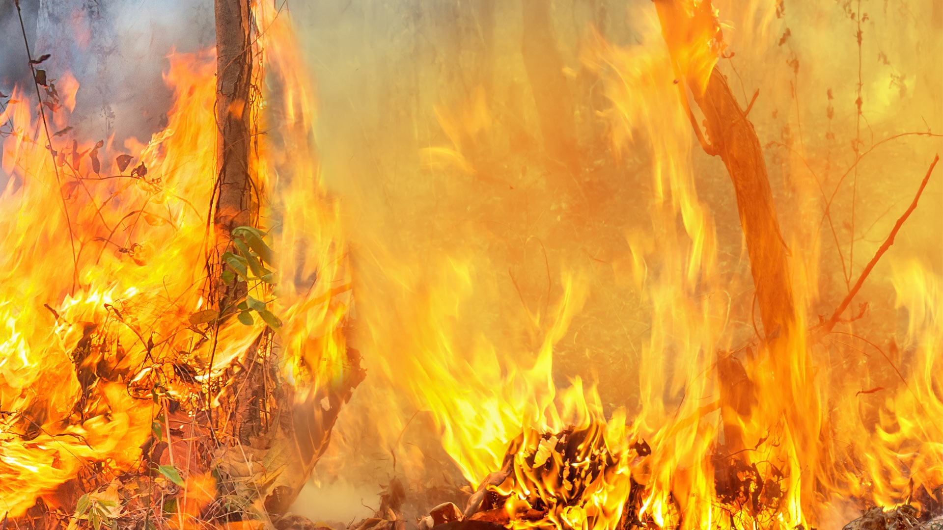
Wildfires rage throughout the United States at an average rate of 70,000 per year, according to the National Interagency Fire Center (NIFC). Incident commanders and other wildfire response authorities are under increasing pressure to make quick and accurate tactical decisions, including where and when to deploy crews and resources. When making these decisions, having access to accurate, up-to-date, and readily understood geospatial data is key to ensuring the safety of firefighters and local residents.

In response to the need for improved situational awareness, the United States Forest Service (USFS) partnered with the Bureau of Land Management (BLM) and Esri startup partner Overwatch Aero, LLC, to deploy a new technology called long-endurance unpiloted aerial systems (UAS). UAS technology employs remotely piloted aircraft to go where humans can’t, gathering imagery and data that otherwise would be impossible to collect. Whereas traditional commercial UAS can fly for about 45 minutes at an altitude of 500 feet for a range of 2–3 miles, long-endurance commercial UAS can fly for 12–14 hours at an operational altitude of 5,000 feet and a range of 50 miles.
For four wildfires that burned in California, New Mexico, and Oregon in 2022, Overwatch Aero worked with premier UAS operator Precision Integrated Programs to collect and disseminate aerial imagery data in real time. Leveraging Esri software and apps, including ArcGIS Pro and ArcGIS Experience Builder, the startup provided USFS, BLM, and other firefighting agencies with live situational awareness, dynamic perimeter mapping, and hot spot detection. The end users were impressed.
“Drones are the future of aviation for not only fire but [also] aviation in general,” said John Crotty, air operations branch director for the California Interagency Incident Management Team 15.

Revolutionizing Drone Imagery Data Collection
During active fires, GIS specialists traditionally generate and update fire perimeters using geospatial data that field observers collect on the fire line or that’s created by interpreters who analyze imagery acquired by piloted aircraft equipped with infrared cameras. These methods, however, cause delays between obtaining the data and producing maps, which can lead to poor tactical decision-making and endanger firefighters’ lives.
Providing geospatial data in real time to on-site personnel has long been a goal in fire mapping. This becomes critical during major wildfires, which spread at rapid rates.
In a wildfire situation, Overwatch Aero’s sensor operators and pilots fly UAS aircraft a few thousand feet above the ground along opposing ridgelines to capture highly accurate full motion video (FMV) feeds along the fire’s boundaries. These FMV feeds are georeferenced live and streamed to the UAS ground control station in real time. Data specialists then use the Full Motion Video capability in ArcGIS Image Analyst to interpret the infrared data and update the fire perimeter hosted in the NIFC’s ArcGIS Online organization. By eliminating delays among imagery acquisition, interpretation, transmission, and production, fire personnel can receive updates in near real time, enabling informed decision-making when it matters most.
Overwatch Aero has also developed a custom web app using ArcGIS Experience Builder that combines the FMV feeds with the geospatial data generated by UAS data specialists. This allows any credentialed official to see live video footage of progressing fire activity, using an accurate map for context.

Making Timely Decisions and Reducing Risk
With the systems and processes developed by Overwatch Aero, incident management teams can make strategic decisions with the most up-to-date and accurate information possible. This enables them to more effectively deploy resources and conduct safer operations. Additionally, using UAS and Esri technology together offers an added measure of safety, since both systems can be administered and controlled remotely.
During one 2022 wildfire, for example, the incident commander was able to pull more than 400 firefighters off an overnight shift while the UAS was airborne. This enabled the firefighters to rest safely and reduced their risk of injury while the UAS engaged in a remotely controlled data-gathering operation.
“It’s a win-win for the agencies to operate under an umbrella of this type of aircraft,” said Crotty. “It can provide precise and timely [information] to firefighters and incident management teams. And, most importantly, we can do it safely.”