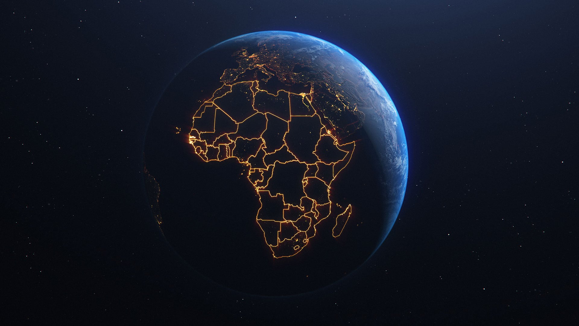
GIS users who live in or work on topics related to Africa now have a robust community geospatial platform for the whole continent: the Africa GeoPortal.
“The unique thing about it is it brings together geospatial data, geospatial tools, and learning about GIS,” said Matthew Pennells, the Africa manager for Esri. “All this is free for single users to access if they’re working in Africa or on African-based geospatial challenges. It’s also designed to be helpful regardless of how much experience in geospatial or GIS technology a user has.”
A Novel Way to Connect Africa’s Geospatial Community
Before the Africa GeoPortal launched in early 2019, there wasn’t anything that really connected the geospatial community in Africa, despite there being a lot of common challenges, according to Pennells.

How agricultural problems are solved in Kenya and Ghana is similar, yet how agricultural problems are solved within Ghana and the United States is very different,” said Pennells. “So there’s value in having this as a continental platform.”
The Africa GeoPortal is powered by Esri technology. It comes with content from ArcGIS Living Atlas of the World that’s specially curated so it relates directly to Africa. Users also get access to ArcGIS Online; apps and analytical tools such as ArcGIS Collector, ArcGIS Survey123, ArcGIS StoryMaps, and ArcGIS Insights; and a large selection of Esri’s e-Learning materials.
But the unparalleled value of the Africa GeoPortal comes in the form of community-contributed data.
“People bring in data they might collect at a local or national or continental level, especially if they need a place to store it,” said Pennells. “We also have governments adding data—so statistical agencies and such that want to expand access to their open data. And then we have broader partners in the geospatial industry, such as the Earth observation initiative Digital Earth Africa.”
Users Expand on One Another’s Work
The idea behind the Africa GeoPortal is to get this community of diverse users to inspire one another and build on each other’s work.
“If someone is collecting data on health center locations in Kenya and creates a map to show people where the newest one is, we want other people to see that and take it further, maybe by doing that in Ghana,” said Pennells. “So it’s a combination of people contributing data and Esri giving them space to share their data and inspire other users.”
Once users sign up for a complimentary account, they can create data, store it, make maps, and build solutions. For data scientists, the platform has a range of notebook tools. And if users want to learn more about any of this, the Africa GeoPortal points them to specific e-Learning materials—many of which use data, examples, and scenarios from throughout the continent—that they can use to build their skills.
Now, if someone wants to take that data on health facilities in Kenya and build an app around it, the person no longer has to become an app developer to do that. Both the data and tools needed are available on the Africa GeoPortal. All that user needs to do is find and download the data, locate the appropriate geospatial tools—such as Survey123 or Collector—to use to fill in any missing data, and then bring that information into a simple app that’s easy to share.
“We want to remove the barriers to entry for working with geospatial data that currently exist throughout much of Africa and make it so that people can direct their energy toward building local solutions that help solve local problems,” said Pennells.
Important Themes Are Front and Center
On the home page, the Africa GeoPortal highlights big themes that affect most, if not all, of the continent.

Resources for responding to the coronavirus disease 2019 (COVID-19) pandemic, for example, have been front and center for most of 2020. Navigating to the subpage, users find official dashboards containing COVID-19 data for African Union member states, as well as for individual countries ranging from Morocco to South Africa. There are also reliable data and tools from independent users, such as a well-trafficked dashboard from a user in Ghana.
“This guy had the opportunity to bring the data together how he wanted to present it, highlighting the geographic areas more local to him,” said Pennells. “His dashboard has received a good number of hits.”
Another subsection of the home page spotlights data about the desert locust crisis afflicting the Horn of Africa. It points users primarily to an open data hub built by the United Nations’ Food and Agriculture Organization (FAO), as well as other datasets on locust swarms, control operations, hot spots, and more.
“What we really want to see for these subtopics is for people to go on and build localized solutions—whether that be local to their geographic problem or local to their particular thematic area—that are based on the authoritative data assembled on the Africa GeoPortal,” said Pennells.
Where Everyone Can Find What They’re Looking For
The site is further broken down into country and organizational pages, where data, examples, and stories are more tightly arranged around specific needs and objectives. Anything from these pages is accessible on the wider Africa GeoPortal, and users within the more streamlined geoportals can still access everything that’s on the Africa GeoPortal.
“These pages allow people to focus on some datasets, but they don’t restrict them from using any of the other content,” said Pennells.
The National Office of Technical Studies and Development (known by its French acronym BNETD) maintains a country-level geo-portal for the Ivory Coast to make its open data more accessible.
“Right now, we are just publishing data for everyone,” said Fernand Balé, director of the Geographic and Digital Information Centre (known as CIGN) at BNETD. “But we are building a network of users in every field—in social, economic, and government fields.”
BNETD started contributing data to the Africa GeoPortal about a year ago. But sharing data is just the first step in what it seeks to do.

“We want to build apps in order to help our government and decision-makers make good decisions,” said Balé. “In our vision, people could share very smart datasets—accurate data—in order to plan infrastructure or access to education and health centers, to achieve more in the private sector, and so on. We want to build a very powerful geodatabase for our users. We want to show how geographic tools can help improve government programs and people’s lives.”
But first, users need access to accurate data—and a lot of it—which, according to Balé, can be hard to come by right now.
“It’s very difficult to have access to maps [and] satellite imagery in Africa,” he said. “My big-picture [vision for our use of the Africa GeoPortal] is to be a reference—the place where everyone, every government organization, can find what they are looking for to improve their work, to improve people’s lives, to fight poverty, to fight climate change, and so on.”
More Widely Accessible Earth Observation Data
Another organization working to disseminate important geospatial data via the Africa GeoPortal is Digital Earth Africa, which aspires to make free and open satellite data of the entire continent available in analysis-ready formats.
“Esri is the GIS package that is most abundantly used, especially in Africa,” said Aditya Agrawal, senior program adviser for Digital Earth Africa. “Being able to have our data available within the Africa GeoPortal enables that data to be accessible by more users.”
The team at Digital Earth Africa also cares about how its data is being used, which is something it can see through the Africa GeoPortal.
“How’s it influencing policy and decision-making? What’s the impact being generated by the data?” Agrawal queried. “Being able to understand how [geoportal] users are using the data and what outcomes and stories come out of that is going to be the most important part for us and our community.”

One area that Digital Earth Africa is currently focused on is food security. It has tailored some of its satellite imagery so users can visualize land-use change over time.
“We’re developing a crop mask for the continent to make…changes in agricultural areas easier to understand at national and local levels,” said Agrawal. “All the data can be explored via a map viewer, and eventually, we will develop an ecosystem approach where you can access fit-for-purpose apps.”
The organization has also used the Africa GeoPortal to release water-related Earth observation data.
“Often, villagers have to go to the nearest water body to fill up their pots with drinkable water. Sometimes they have to walk far distances to find that, and once they get there, they don’t know if there will be water,” said Agrawal. “The idea behind [this imagery and an associated app] is to make this process easier for people living in these villages so they can get the water they need.”
As more people and organizations join the Africa GeoPortal, Agrawal and his colleagues will be curious to see how they use Digital Earth Africa’s data.
“It’ll be interesting to see the stories they put on their own pages,” said Agrawal.
Users Evolve the Geoportal in Amazing Ways
In its less than two years of existence, the Africa GeoPortal has already morphed into something Esri’s Africa team didn’t expect.
“It went from being africageoportal.com to now having all these other parts of the family, such as the country and organizational pages,” said Pennells. “We saw someone use it to make a StoryMaps story about their education and how they got into GIS, and that’s proved very popular. We weren’t expecting that, but we love to see it.”
Esri is committed to supporting users throughout Africa in as many ways as it can.
“We are continually amazed at where people are taking the Africa GeoPortal as a tool and as a community platform,” Pennells added.