Since its launch in 2012, more than half a million people have created nearly 10 million maps, apps, and datasets in ArcGIS Online, the world’s most prominent software-as-a-service (SaaS) mapping platform. And this year’s midyear update infuses the complete, cloud-based solution with even more impressive capabilities.
Enhanced User Experience
The group pages and search results page have been redesigned with improved workflows, performance, and layout. For group members, the pages provide more ways to explore content. For group owners and administrators, the new design makes it easier to configure and manage group properties, content, members, and settings.

The pages also include new functionality for exploring and working with groups. For example, users can now search for and filter group members. In addition, owners can put delete protection on their groups to prevent the accidental deletion of the group. They can also promote group members to managers to get help with group management tasks.
Doing More for Less
Hosted tile layers are now more efficient, automatic, and economical. When publishing hosted tile layers from hosted feature layers, users can create tiles automatically. This means the tiles are generated only when requested, such as when a user zooms to an area on the map. Once the tiles are created, they are cached in users’ hosted storage so they don’t have to be generated again. Tiles also automatically refresh when the features in the source feature layer are updated. And Esri has reduced the cost of publishing tiles, so it only takes one credit to generate 10,000 tiles.
Users can now enable high-accuracy metadata collection on feature layer templates to use with Collector for ArcGIS. When including this option, preconfigured fields and associated domains are added to the feature layer template schema that Collector uses to write metadata about the collected data.
Hosted feature layers can also be published from Microsoft Excel files and exported as KML and Excel files. Publishing hosted scene layers from hosted feature layers is no longer in beta, so organizations that do this will now consume credits.
Pop-Ups That Pop
At ArcGIS 10.5, Esri released ArcGIS Arcade, a new cross-platform expression language for ArcGIS, and now pop-ups have enhanced support for defining Arcade expressions. Users can dynamically create new attributes from their features. They can also use attribute expressions anywhere they work with regular attributes—showing a value in meters instead of feet, for example, or dynamically creating a URL based on the attributes of a feature. And when a map is ready, users can choose to print it with a legend.
Content Is King
Organizations can now include vector or raster basemaps in their map viewer and scene viewer basemap galleries.
Vector basemaps have been updated to support several different languages. Users who configure vector basemaps to be the Esri default in the basemap gallery will see the basemap versions for the language specified for their organization.
Esri improved the World Imagery basemap with additional sets of DigitalGlobe imagery for several countries, including the United States and Canada, with detailed imagery for hundreds of areas.
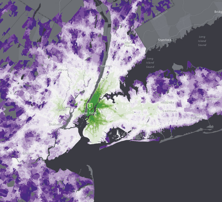
Demographic maps have also been updated and now feature the latest 2017 current-year estimates and 2022 five-year forecasts for the United States, as well as the latest 2017 estimates for Canada. In addition, updates have been released for more than 30 other countries using the latest Michael Bauer Research (MBR) data.
The National Agriculture Imagery Program (NAIP) image services have been updated with NAIP 2016 imagery for 24 states in the United States. The World Elevation map has also been updated with global 24-meter elevation data at 4-meter vertical accuracy. Users can access the data in the Esri 2D elevation image services, as well as the Esri 3D terrain services.
Operational Update
Microsoft ended support for older versions of Internet Explorer on certain operating systems on January 12, 2016. Because of this, beginning with the June 2017 update, ArcGIS Online will no longer fix bugs specific to Internet Explorer 9 or 10, test those versions, or list limitations in help. This includes configurable apps and the map viewer.
To learn more about the updates to ArcGIS Online included in this release, visit the ArcGIS Online What’s New page and check out the ArcGIS Online blog.

