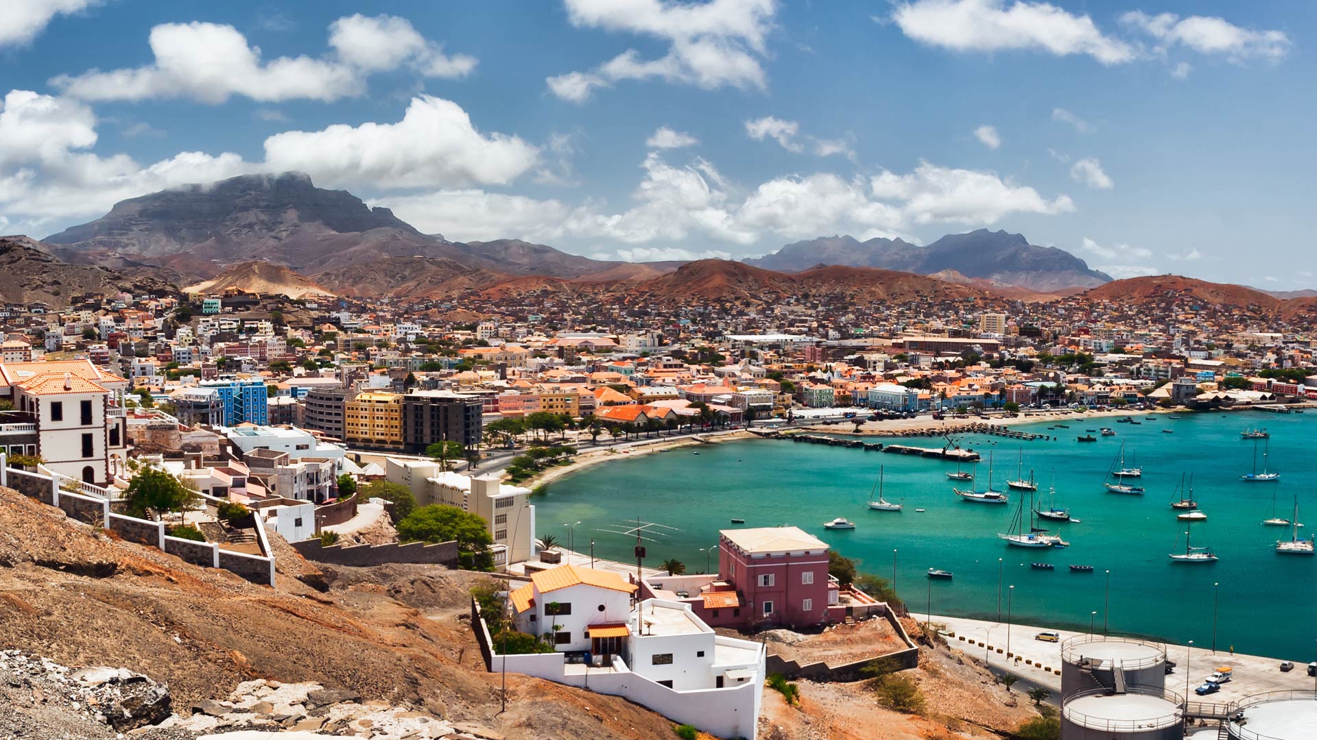
For five summers, young people in Mindelo, Cape Verde, have attended the AMINGA Youth Sports Development Program to practice handball, volleyball, and basketball with international coaches. But the learning goes beyond sports. Campers also receive instruction from international teachers in the arts, computer science, and English. And in 2025, AMINGA offered a course in GIS to strengthen students’ understanding of geography’s central role in daily life.
Working in groups of three, the campers—who hail from underserved areas of the island of São Vicente, part of the Cape Verde archipelago off the coast of West Africa—had two and a half hours to explore a topic and use ArcGIS StoryMaps to build a map-based narrative about it. The range of resultant stories included the histories of basketball and volleyball, an overview of the theory of continental drift, and detailed maps of tourist hot spots in Cape Verde.
According to those involved in the project, it was a success. The ArcGIS StoryMaps workshop brought a playful and enriching geography-based component to the summer camp, motivating campers to learn the basic concepts of geography while discovering new things about their world.

“It was a dynamic process that went very smoothly, and everyone worked incredibly hard,” said Nuno Coelho, CEO of Esri partner ALL4INNOVATION, which was involved in the project.
A Team Effort to Build Curriculum
The geography program at AMINGA began to come together when one of the organization’s cofounders, Sean Bennett, reached out to Esri chief scientist and oceanographer Dr. Dawn Wright. She had been a US Department of State science envoy to Cape Verde in October 2024, and he wanted to see if she would be interested in supporting Cape Verdean youth in learning geography and GIS. She was intrigued.
“Sport is the ultimate bridge builder between communities, cultures, and countries,” Wright said. “Similar to maps, it is a type of universal language.”
Wright brought in Dr. Jason Sawle, Esri’s global industry manager for K–12 schools, to help develop curriculum. She also looped in Esri Portugal (Esri’s official distributor of technology to Cape Verde) and Coelho, who, after 13 years working for Esri Portugal, took on a full-time leadership role with ALL4INNOVATION, which specializes in systems integration with a strategic focus on GIS.
Coelho got in touch with leaders from AMINGA to assess their needs. They wanted to spark participants’ curiosity about geography and help them learn how to not only read and interpret maps but also add information to them. The team planned a series of field activities and classroom sessions.
They also built a hub for data sources that the young participants could interact with and use to develop their thematic projects. Bennett and his AMINGA cofounder Elisabete Gomes were instrumental in developing the platform, preparing the content, and sharing knowledge about the technology.
“Our job was basically to prepare the entire platform [and] help them organize the data and collect information,” said Coelho. “The goal was for them to retain the know-how so they can later explain to … students in the classroom how everything was done and how it all works.”
.\"")
Developing Skills for the Future
In July 2025, for approximately 15 days, high school-age AMINGA campers in the GIS and Mapping class used Esri technology to explore topics related to geography. They dove into environmental issues, such as proper waste management, especially in coastal areas; the importance of sustainable behavior; and the impacts of pollution. They spent about two and a half days—alternating with their sports training workshops as well as their other academic classes, of course—learning how to use ArcGIS Online and ArcGIS StoryMaps.
With these digital tools, the campers succeeded in exploring Cape Verde and the world beyond in a fun and educational way. By gathering data, learning how ArcGIS StoryMaps works, and using it to quickly build geography-based narratives, they developed data literacy and technical skills that will be useful to them far into the future.
“It was our first time using Esri tools at the camp, and the students responded with curiosity, enthusiasm, and some truly thoughtful work,” Bennett reflected.
Wright added, “I’m so thrilled to see what AMINGA is accomplishing along these fronts, and only too thankful to have experienced the magic of Cape Verde when working there briefly the year prior.”
AMINGA plans to continue the GIS module in future summer camp sessions.