
When flight zones around an airport have an obstruction such as a building, tree, or cellphone tower that extends into designated airspace, the consequences can range from government fines to accidents. In the United States, a federal regulation known as Part 77 establishes standards and notification requirements for airport buffer zones—areas in, around, and above designated airports that must be evaluated periodically for airspace obstructions. Similar to highways with wide medians and emergency lanes, these buffer zones give pilots margins of error when flying planes in and out of airports.
To help comply with regulations, improve airport safety, and better communicate with airport neighbors and stakeholders, staff at the Wisconsin Department of Transportation’s Bureau of Aeronautics applied the ArcGIS Aviation Airports extension for ArcGIS Pro to map airports and their surrounding areas, both on the ground and in the air.
-

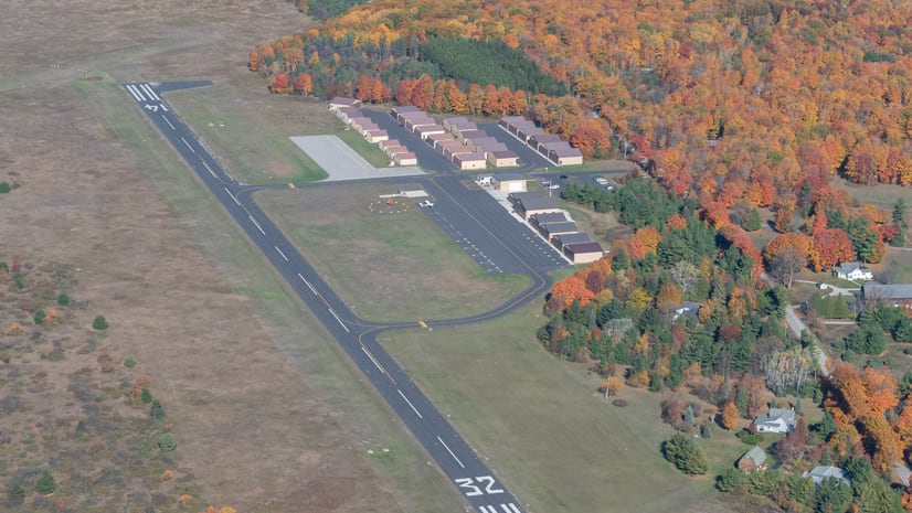
Keeping trees and other obstructions clear of airspace is critical to safety at airports such as Cable Union Airport, pictured here.
A Unique Statewide Data Layer
Starting in May 2024, Christine Koeller, an ArcGIS program manager with the bureau, began using Aviation Airports to build a 3D Part 77 data layer for all public-use airports in the state. In March of this year, the bureau enabled public access to the app rather than providing polygon data on request, as had been done in the past. Now, users don’t have to wait for their data requests to be filled; rather, they can get what they need when they need it via the app.
It’s the latest step in the bureau’s efforts to build data layers and GIS maps. These efforts also include mapping airport reference points (the approximate geometric center of an airport’s usable runway surfaces) and wildlife protection areas, which aim to mitigate conflicts between animals and air traffic. Koeller also helps the department and its stakeholders and partners visualize facility and runway data, including the characteristics of adjacent or nearby areas.
“If someone needs a map, I am here to help,” she said.
The bureau’s GIS data, which is refreshed every 56 days, is incorporated into the department of transportation’s enterprise databases—the centralized source for authoritative data within the department. The data is located in the department’s Oracle databases, and staff in the Bureau of Aeronautics manage it using ArcGIS Pro. The GIS data is then made available to everyone throughout the department of transportation via Scene Viewer in ArcGIS Online, and to the public via a community engagement platform built with ArcGIS Hub.
“As far as we know, we’re the only state transportation department with a publicly available, statewide data layer of this kind,” Koeller said.
One of the capabilities of Aviation Airports that she appreciates is its ability to create multipatch features—GIS objects that represent 3D objects’ boundaries along with their visual characteristics such as texture, color, transparency, and geometric information.

“This gives us the ability to evaluate and quickly analyze current and potential obstructions, such as trees, towers, or buildings, while allowing users to look at the data three dimensionally and compare it to other 3D data,” Koeller said.
Creating a statewide Part 77 data layer is a lot of work, according to Koeller. But she said that the Aviation Airports extension made it a lot easier.
“The extension takes complex written language and geospatial data and converts it to a visual format that’s easy to understand,” she said. “The data helps us show local community partners and other stakeholders what airspace is protected and what we’re talking about when there’s an obstruction.”
Improved Spatial Awareness
Aviation Airports has made airport safety evaluations much easier and more accurate, according to Bureau of Aeronautics airport compliance manager Hal Davis, who inspects hundreds of Wisconsin airports on a rolling three-year basis. The public-use airports he inspects have some zoning authority up to three miles from where their runways end. Part 77 has requirements for about 2 to almost 10 miles, depending on the characteristics of the aircraft and runways at a given airport. Both sets of protected areas are important.
“As the inspector, part of my job is to evaluate obstructions at airports statewide,” Davis said. “That evaluation process used to rely on drawings that were made by hand. The extension automates the process, which reduces user error and helps in keeping records up-to-date.”
Bureau staff also use the Surface toolset in ArcGIS Pro and exports from Site Scan for ArcGIS (part of the ArcGIS Reality suite) to create point clouds that help staff identify current and potential obstructions.

[ArcGIS Aviation Airports] takes complex written language and geospatial data and converts it to a visual format that’s easy to understand. The data helps us show local community partners and other stakeholders what airspace is protected and what we’re talking about when there’s an obstruction.
“It’s a much better approach than using line of sight,” Davis said.
The result is improved spatial awareness for airport managers, neighbors, and stakeholders.
“An airport manager can better spot potential obstructions and the consequences of extending a runway in the direction of a developing area, for example, and can share that 3D visual information with airport stakeholders who may want to use a crane or build a cellphone tower or something else that could cause an obstruction,” Davis explained. “This data is critical to our mission of protecting airspace.”
Getting Different Organizations into Agreement
Davis believes that other state aviation departments would find Aviation Airports useful.
“The solution should be of interest not only to the aviation community and transportation departments but [also] to state and local governments and typical airport stakeholders such as architecture, engineering, and construction companies,” Davis said. “I think having this kind of data readily available would be a benefit to airports and their stakeholders around the country.”
Esri product marketing manager Dylan Molnar concurred.

“By sharing airspace information with the public, the Wisconsin Department of Transportation aims to make flight paths as safe as possible,” Molnar said. “Having accurate foundational data also improves internal processes, such as collecting obstruction data in the field, creating height limitation zoning, and ensuring that people in different organizations are all on the same page.”
Molnar listed several of the extension’s capabilities and benefits, including simplified data management; flexible 2D and 3D visualization for analyzing airport layouts, obstacles, surfaces, signage, and more; easier compliance with Federal Aviation Administration and International Civil Aviation Organization standards and requirements; ArcGIS product integration; and customization.
“These capabilities make the extension an important resource for modern airport management,” Molnar said, “enabling users to improve efficiency; decision-making; and, ultimately, safety for organizations around the world that operate in the aviation sector.”
For more information on how the Wisconsin Department of Transportation uses ArcGIS, email communications specialist Claire Paprocki at claire.paprocki@dot.wi.gov. Review the Bureau of Aviation’s GIS data layers.