ArcGIS Pro 2.7 introduces a new data type and new type of geodatabase as well as more extensive analysis tools and capabilities for integrating workflows across ArcGIS applications from field to enterprise to the cloud. New with ArcGIS Pro 2.7 is support for Global Navigation Satellite System (GNSS) device location, mobile geodatabases, layer and feature blending, Movement Analysis tools, linear reference editing, and 3D object feature layers. This release also provides additional Spatial Statistics tools and an expanded and enhanced SDK.
GNSS Device Location Support
ArcGIS Pro supports the collection of high-accuracy data in the field using any GNSS device. When connected to a GNSS device, ArcGIS Pro will show the location of the device on a map or in a scene. As the device travels, its location automatically updates in the view. A point feature class can be set up that will automatically log data from the device as its position is updated. Features can be created based on the current geographic location of a GNSS device. Detailed information about a device’s position can be recorded to a log file.
Mobile Geodatabases
ArcGIS Pro 2.7 introduces a new type of geodatabase, the mobile geodatabase. As with other geodatabases, a mobile geodatabase can store geographic datasets, perform data modeling tasks, and be used as inputs to geoprocessing tools and scripts. A mobile geodatabase is stored in an SQLite database, which is a widely available, stable, and trusted database. As a full-featured relational database, it allows querying and reporting workflows through SQL. It is open source and in the public domain, so no licensing is required and it has cross-platform support. SQLite databases are stored in a single file on disk, making them portable. They provide an efficient data exchange format.
The mobile geodatabase is the foundation for fully interoperable workflows between ArcGIS Pro and ArcGIS Runtime that will enhance workflows between ArcGIS Runtime applications and the Esri suite of mobile apps.
Layer and Feature Blending
Layer blending, which has been available in the ArcGIS API for JavaScript and the ArcGIS Online Map Viewer beta, can now be used in ArcGIS Pro as an alternative to transparency when combining layers or features. Use blending to brighten or darken a layer to bring attention to the highs or lows of map color ranges. When a blending mode is applied to a layer, the layers below it in the map’s drawing order are visually altered. Most blending modes are applied to each color channel independently. For further control, blending modes can be applied to features within a single feature layer. In this case, symbolized features are blended with each other within the layer. Blending modes enhance the visualization of features and can change how maps are designed for publication.
Movement Analysis Tools
Movement Analysis tools use point track data to analyze and visualize the movement of objects in space and time. Point track data consists of time-sequenced point locations grouped by unique devices, such as GPS or other mobile devices. The Movement Analysis toolset contains tools that analyze point track data, allowing the comparison of tracks over different areas, the extraction of unique identifiers from a point track dataset, and the identification of the locations where tracks meet. The movement tools are Find Cotravelers; Find Meeting Locations; Compare Areas; and Classify Movement Events, the newest tool.
Classify Movement Events attributes point track data with turn information (including U-turns), stops, and information about acceleration and deceleration. This simplifies the time-consuming process of reviewing track points to figure out how an entity was moving at a location. This is useful for analysts working with shipping telemetry, monitoring feeds from traffic, or reviewing GPS device metrics.
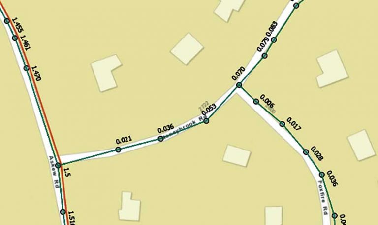
Linear Reference Editing
New linear referencing editing capabilities are now part of the core ArcGIS Pro application and are designed for users who have basic linear referencing needs such as maintaining measures on features and linear referencing routes. Used by linear referencing systems (LRS), routes model linear distances and related events. Routes are created as m-aware polyline centerline features with measure values (m-values) at each vertex that are stored independently of the line geometry. With ArcGIS Pro 2.7, users can create a route from selected line features; calibrate a selected route using two or more specified calibration points; and define a portion of a linear route by tracing and clicking two points along the route.
Note that these new tools are intended for use only when a single LRS is required. The Roads and Highways and Pipeline Referencing extensions, available with ArcGIS Pro, support a more comprehensive solution for linear referencing system workflows and provide an advanced set of linear referencing editing and management tools in addition to the new capabilities available in core ArcGIS Pro.

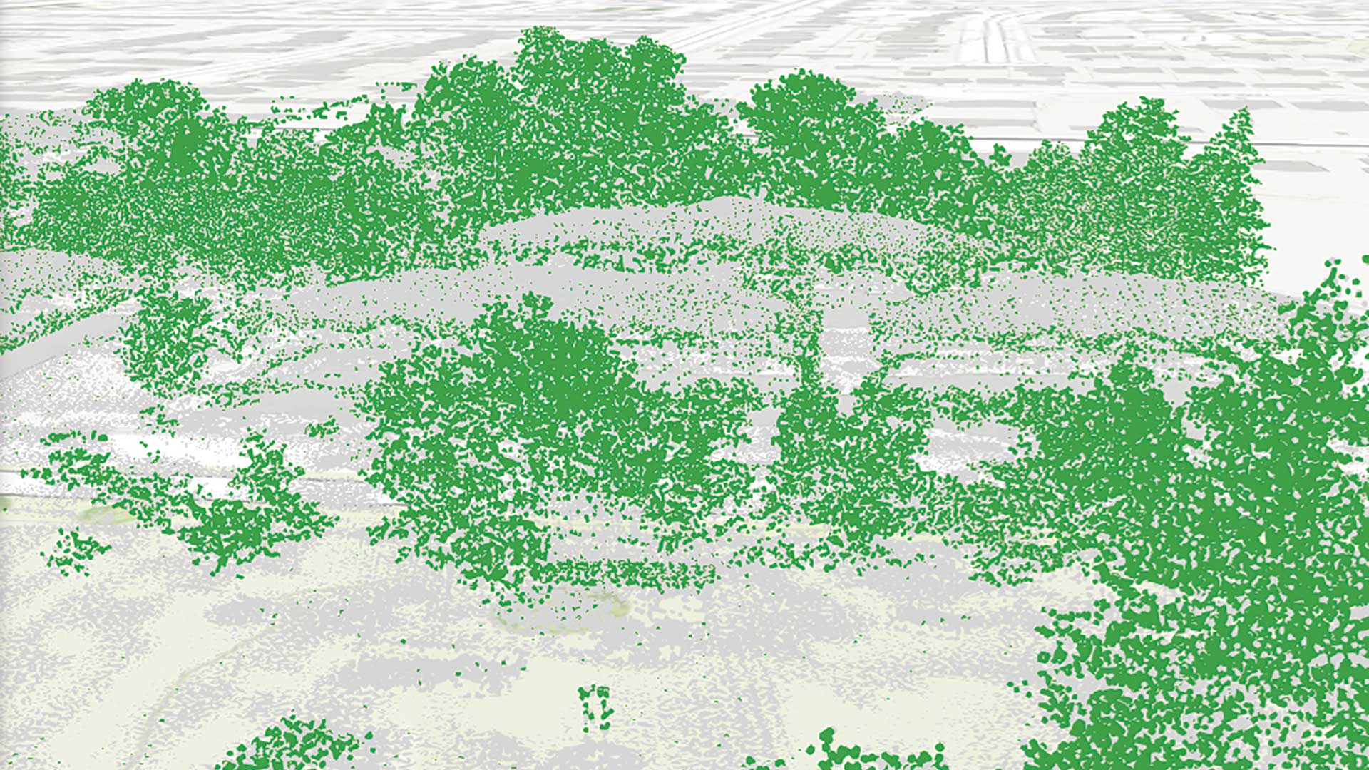
3D Object Feature Class Layers
The 3D object feature class is a new data type that has evolved from the multipatch feature class. Objects in this class are stored in file, enterprise, or mobile geodatabases. Like multipatches, 3D objects combine geometry and textures for models of features that occupy 3D space and have additional properties. 3D object features can display characteristics such as reflection, shadowing, and roughness, adding detail and realism to ArcGIS Pro scenes.
The same editing and analysis tools that work on multipatches can be used on a 3D object feature layer in a scene in ArcGIS Pro. Geoprocessing tools are available to convert multipatch feature classes to and from 3D object feature classes. File geodatabase 3D object features can be opened and edited in third-party modeling applications such as Maya and Blender.
Spatial Statistics
The release of ArcGIS Pro 2.7 includes many improvements to the Spatial Statistics tools, that range from out-of-the-box data engineering tools to sophisticated statistical methods for analysis. Data engineering is an integral part of an analysis, and it is often the most time-consuming. The new Dimension Reduction, Transform Field, Standardize Field, Encode Field, and Reclassify Field tools aid in more quickly preparing data for subsequent analysis.
The new tools in the Spatial Statistics toolbox, which include the Spatial Outlier Detection, Spatial Association Between Zones, and Neighborhood Summary Statistics tools, can give you a better understanding of your data. Three new parameters for detecting and identifying outliers at each location—Curve Fit Forecast, Exponential Smoothing Forecast, and Forest-based Forecast—are introduced with the new Space Time Pattern Mining tools. The Visualize Space Time Cube in 3D and Visualize Space Time Cube in 2D tools help explore the time series outliers of a space-time cube.
ArcGIS Pro SDK for the Microsoft .NET Framework
This is an extensive and important release of the ArcGIS Pro SDK that complements new capabilities in the core product. It includes new APIs for Device Location, Parcel Fabric, and Voxel Layers. Existing APIs for Geodatabase, Layouts, and Reports APIs were also improved.
New Start Page
The new start page features a Resources section that provides centralized access to information about ArcGIS Pro and helps users migrating from ArcMap to ArcGIS Pro. Links tutorials, web courses, and documentation about ArcGIS Pro will build essential skills and helps users keep up with new developments in the software.
Pantone Colors
ArcGIS Pro includes eight styles of the Pantone® spot color books that will ensure the consistent appearance of output in printing workflows. These colors are part of a proprietary and widely used system for standardized color reproduction. They are organized into books categorized by type and output medium.
In ArcGIS Pro 2.7, each of these books is presented as a separate system style of predefined and named colors. Pantone colors are denoted by a white corner on the color chip. Although these styles are read-only, they can be copied to a Favorites style and modified to limit the number of colors to just the ones needed for specific projects.
ArcGIS Workflow Manager
ArcGIS Pro 2.7 is the first release of ArcGIS Workflow Manager’s new service-driven architecture in ArcGIS Pro. This release primarily improves the productivity of organizations and industries that perform mapping functions using the Utility Network, Roads and Highways, and ArcGIS Parcel Fabric. ArcGIS Pro 2.7 can connect to the new service-driven architecture to run steps. With traditional geodatabase-driven architecture deployment, ArcGIS Pro has achieved feature parity with ArcMap.
ArcGIS Data Reviewer
The ArcGIS Pro 2.7 release includes new methods for automated validation, and enhancements to error management tools. Automated validation methods evaluate a feature’s quality without human intervention, saving time and resources while ensuring data is accurate and trustworthy.
ArcGIS Pro 2.7 includes many more improvements including enhancements and new capabilities in the areas of application sharing, mapping and visualization, labeling and annotation, editing, analysis, data management, and the use of multidimensional and lidar data. More than 50 changes were made in response to user requests.
For a complete description of changes in this release, see “What’s New in ArcGIS Pro.”