New Expressive Tools for Storytelling
ArcGIS StoryMaps, Esri’s new storytelling app, has several new features to help you design and tell your stories more creatively. Turn your story map into a live presentation with Slideshow, the new immersive block currently in beta. Best for displaying full-page media, such as images or videos, with small amounts of descriptive text in a narrative panel, you can add a series of slides to sections of your story maps. Make related and thematic stories and apps easier to present and share by authoring collections (also in beta). Create a collection by simply clicking on your profile picture and then clicking My Collections to add story maps to a set. Collections can be shared with everyone or just your organization. Use the Preview button in the ArcGIS StoryMaps app header to see how your story map will display on small, medium, and large screens. Adjust your story map so it will look its best when displayed on a phone, tablet, or desktop computer. If you are displaying a story on a kiosk monitor or at a conference, you can automatically play it from beginning to end on a loop. To learn more, see great stories from the story maps community, and find helpful resources for getting started, visit esri.com/storymaps.
Esri Is a Key Geospatial Partner for Salesforce
Salesforce has selected Esri as the key provider of geospatial content for Salesforce Maps, which enables organizations around the world to combine their business data with geospatial analytics and mapping. By integrating ArcGIS Living Atlas of the World and enabling Salesforce Maps users to access ArcGIS Online, Salesforce is giving businesses the ability to analyze and visualize massive amounts of geographic and demographic data and gain a competitive advantage.
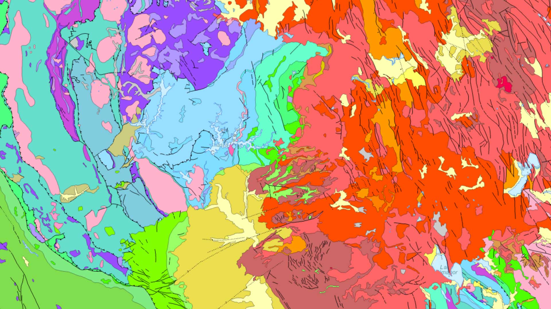
Mozambique Improves Its Land Administration System
Mozambique’s National Directorate of Lands (DINAT) successfully implemented the Esri Land Administration Modernization Program (LAMP), which helps developing countries jump-start and modernize their land administration systems. By using LAMP, DINAT is already making land administration business processes more efficient and productive while improving parcel data accuracy.
An End-to-End Enterprise Drone Data and Analytics Solution
Esri has partnered with 3DR, a leading US drone data company, to expand Esri’s current drone imagery offering, Drone2Map for ArcGIS, with an end-to-end enterprise drone data and analytics solution for the ArcGIS platform. With the new ArcGIS Drone Collection, which employs 3DR’s powerful Site Scan unmanned aerial systems flight planning and processing software, users ranging from small operators to enterprise-wide drone programs can access scalable solutions that work for their needs. Learn more about ArcGIS Drone Collection at https://bit.ly/39WvVup.
Tracker for ArcGIS Is Available in ArcGIS Online
The Tracker for ArcGIS mobile app records the location tracks of field personnel, and the corresponding Track Viewer web app lets authorized supervisors view them. The Track Viewer web app leverages the location tracking layer. Previously available only in ArcGIS Enterprise 10.7, the web app is now accessible in ArcGIS Online and provides the benefits of a fully hosted solution. With Tracker for ArcGIS, organizations can keep better track of fieldworkers and support supervisors, managers, fieldworkers, and customers in numerous ways. Improve efficiency in the field by identifying areas lacking in staff or where they are too concentrated. Track history can be used to verify where and when an asset or site was last visited, the duration of the visit, and who made the visit to demonstrate that service-level agreements are being met. Supervisors can better respond to unanticipated events because they always know where staff are and can monitor fieldworkers’ safety. Tracker for ArcGIS is a premium app that can be added to any ArcGIS user type license. Learn more at esri.com/tracker.

Explorer for ArcGIS Brings Simple Map Viewing to Windows
Explorer for ArcGIS is great for field users who just need a simple map viewer to take their GIS data with them, make some quick notes on the map, and share those notes with colleagues who are in the field or in the office. While these capabilities have been available for Android and iOS for some time, they are now available in Windows 10. In addition to being able to download mobile map packages for offline use, Explorer on Windows adds offline areas, another way to use Explorer in a disconnected environment. A map author defines as offline areas those areas with little or no network connectivity. ArcGIS packages the layers and basemaps for these areas and makes them available for download. Included when defining an offline area is a specification for how often map areas are automatically updated with the most current info from the web map.