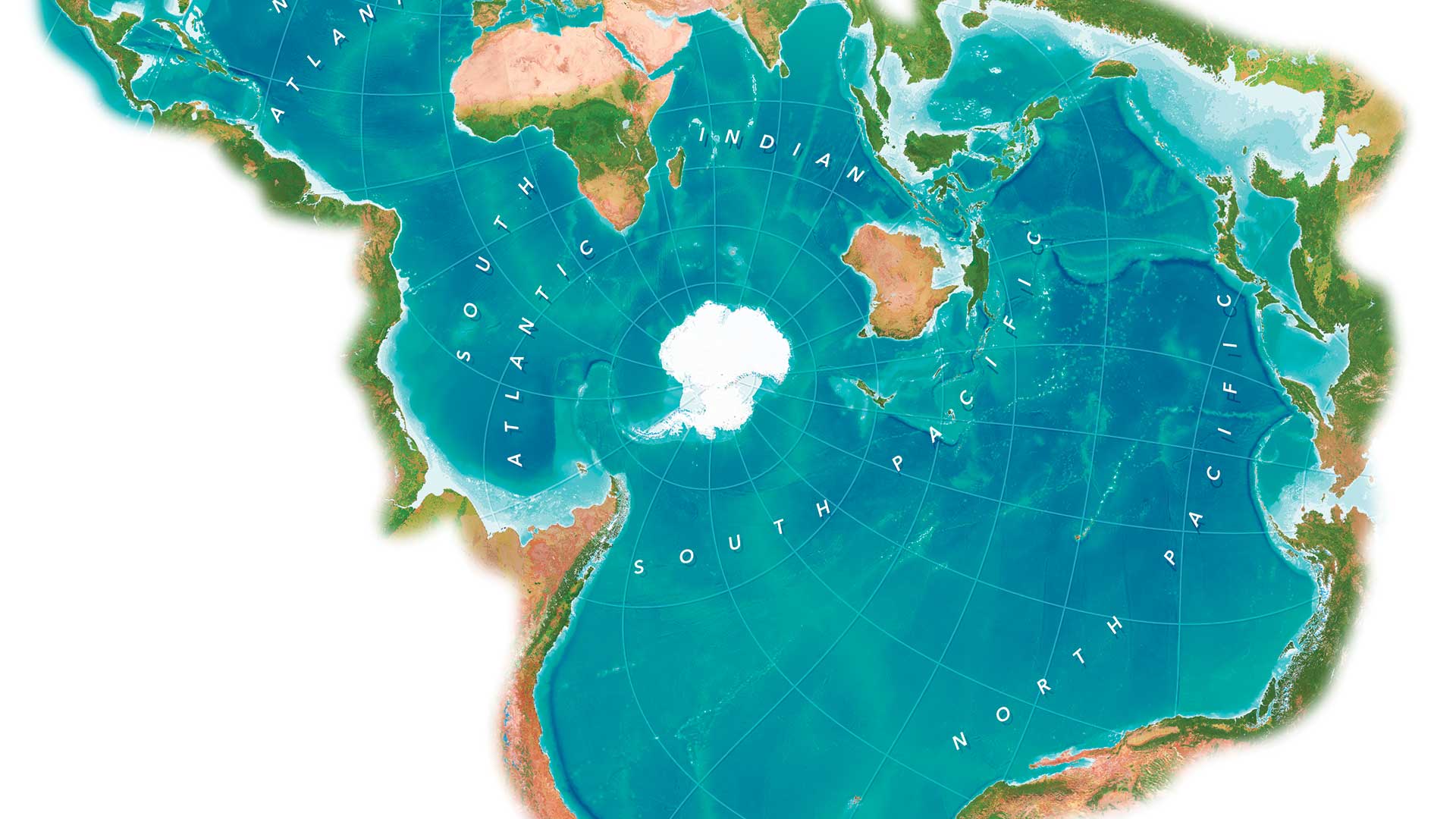
New Web App for Detecting Changes in Land
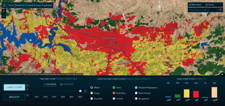
Sentinel-2 Land Cover Explorer, a web app available from ArcGIS Living Atlas of the World, delivers timely land-use/land-cover data using change analysis tools and data Sentinel-2 imagery.
The data captured in these observations enhances understanding of climate change and land use and improves emergency management response. Land use/land cover (LULC) maps are an increasingly important tool for decision-makers at local, regional, and national government levels around the world. These maps help inform policy and land management decisions around issues like sustainability, by contextualizing and quantifying the impacts of earth processes and human activity on the environment.
Built on ArcGIS API for JavaScript, Sentinel-2 Land Cover Explorer provides dynamic visual and statistical change by comparing annual slices of Sentinel-2 10 m land-use/land-cover data. Users can filter data by land-cover class and view statistical change by year, map extent, and class. They can select imagery renderings and download data for offline use.
Sentinel-2 archive data can also be accessed to visualize how the Earth’s surface has changed over the last 14 months. The Time tool in the app, accessible at larger zoom scales, enables a temporal time slider and a temporal profile of different indexes for a selected point, such as NDVI (Normalized Difference Vegetation Index), NDMI (Normalized Difference Moisture Index), and Urban Index. With the Identify tool, users can access information on images and provide a spectral profile for a selected point.
The data is the result of a collaboration between Esri, Impact Observatory, and Microsoft. The data used by the app is supplied by Sentinel-2, a mission of the European Space Agency’s Copernicus Programme. It consists of two polar-orbiting satellites that carry optical instruments that systematically acquire optical imagery at high spatial resolution over land and coastal waters. New Sentinel-2 images are added daily.
Agreement Makes NASA Data More Widely Available
Esri signed a Space Act Agreement with the National Aeronautics and Space Administration (NASA) to give the broader GIS community greater access to NASA’s geospatial content. New datasets from nearly 100 spaceborne sensors that measure atmospheric health, land-based phenomena, and characteristics of the oceans are getting added to ArcGIS Living Atlas of the World. The agreement makes NASA data increasingly available to more than 10 million GIS users in ArcGIS and Open Geospatial Consortium, Inc. (OGC)-based formats.
Esri Joins Effort to Share Interoperable Open Map Data
To help build interoperable open map data, Esri joined the Overture Maps Foundation, a collaboration founded by Amazon Web Services (AWS), Meta, Microsoft, and TomTom that aims to give geospatial developers and professionals access to reliable map data under an open data license. Esri will help curate data from its well-established Community Maps Program that contributors have chosen to share as open data and will make Overture data available through its ArcGIS software and other services.