ArcGIS Desktop (ArcMap) Is Retiring
ArcGIS Desktop (ArcMap) retires in 2026, so now is the time for organizations to step into a modern geospatial platform by migrating to updated user types with access to ArcGIS Pro—the most secure, advanced version of ArcGIS. Esri has prepared resources to help users make the change, including the instructor-led courses Migrating from ArcMap to ArcGIS Pro and ArcGIS Pro: Essential Workflows, as well as the Migrate to ArcGIS Pro learning plan.
For more information—and to talk to someone about your organization’s unique needs—go to migration details.
Get System Health Notifications in the Esri Support App
With the Esri Support app, ArcGIS Online administrators can get proactive insight into the status of their ArcGIS Online systems with health notifications. ArcGIS Online Health Dashboard notifications let administrators know when the status of their dashboard changes. Administrators can then ask the Esri Support AI chatbot for more information on their implementation’s status and get immediate answers.
When you subscribe to a bug or open a case, you can expect notifications for status changes and messages from your support analysts. The app also sends notifications about new technical support articles, blogs, and videos. By combining real-time notifications, AI-powered chat support, and case management, the Esri Support app offers tools to help you resolve issues faster, stay informed about the status of your system, and make the most of your time and resources.
For more information, go to “ArcGIS Online Health Notifications in the Esri Support App” blog post.

New NAIP Imagery Available in ArcGIS Living Atlas
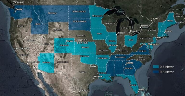
The National Agriculture Imagery Program (NAIP) 2023 imagery is now available in ArcGIS Living Atlas of the World. NAIP, which is administered through the US Department of Agriculture’s Farm Production and Conservation Business Center, produces high-quality aerial photography imagery of the continental United States during the agricultural growing seasons.
With this latest update, the time series dataset in ArcGIS Living Atlas includes all NAIP imagery from 2010 through 2023 and provides access to four spectral bands (RGB and Near Infrared). The imagery can be displayed in Natural Color, Color Infrared, or Normalized Difference Vegetation Index (NDVI). The time series allows you to access different vintages of imagery for each year and state where coverage is available.

Esri Collaborates with Google to Offer Photorealistic 3D Tiles in ArcGIS Online
Esri is partnering with Google to integrate their photorealistic 3D Tiles into the ArcGIS suite. Beginning in fall 2025, the tiles will be available as Google 3D Basemaps in the ArcGIS basemap gallery. This will enable ArcGIS Online users to access the Google 3D Basemap directly from ArcGIS basemap galleries and easily integrate it into their projects, so they can create a realistic and immersive foundation to any GIS.
Available in several ArcGIS 3D apps for web, desktop, and mobile, including Scene Viewer, ArcGIS Earth, ArcGIS Instant Apps, and ArcGIS Experience Builder, the Google 3D Basemap will be seamlessly integrated into the familiar ArcGIS workflow, available directly alongside other 2D and 3D basemaps when the user wants a photorealistic GIS foundation. This basemap will be optimized for ArcGIS and will require no preprocessing, coding, or technical integration, making it ready to use out of the box.
This entry into a 3D photorealistic experience will be an excellent option for users who want the benefits of 3D meshes without the work involved in obtaining the high-resolution imagery and technical expertise involved in creating them. The Google 3D Basemap provides an accessible introduction to the power of ArcGIS reality mapping technology, which is tailored for advanced users and more in-depth analysis.
All this content will be available to users through their ArcGIS Online subscriptions in fall 2025. Learn more about Esri’s work with Google.

