Jane Goodall Institute and Esri to Provide Community Mapping Tools That Will Protect Nature
“Conservation at the community level is essential to sustaining our natural world,” said Jack Dangermond, Esri founder and president. “Protecting global ecosystems cannot work on a global scale unless it starts locally, which is why we are honored to work with our friend and partner, the Jane Goodall Institute, on this collaboration, leveraging their years of experience working at the local scale in pursuit of conservation, balanced with the needs of human communities.”

The partnership with the Jane Goodall Institute (JGI) will jointly develop a set of tools to help communities map and manage local ecosystems using a collaborative design and planning approach aided by GIS. These tools will help communities map, monitor, and better manage natural resources such as community forests, wildlife reserves, water catchment and flood control areas, human settlements, agricultural lands, and agroforestry spaces.
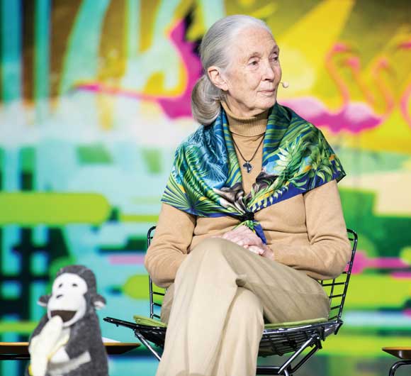
JGI’s community-centered conservation approach, called TACARE, partners with local communities and governments to create sustainable livelihoods while planning for and advancing environmental protection. “A key component of our success is that we work to help villagers find ways to make livelihoods that do not destroy the environment and help them understand that protecting the environment not only conserves wildlife, but [also] their own future. The geospatial technologies that Esri provides will enable us to scale up our projects so that we cover hundreds of villages, ensuring that information is actionable and relevant to decision-makers to help design and manage landscapes that better support people’s livelihoods, as well as wildlife,” said Dr. Jane Goodall, DBE, founder of the JGI, and a United Nations Messenger of Peace.
View Crops over Time
The United States Department of Agriculture (USDA) supports American agriculture by gathering statistics of cultivated land cover, tracking what crops are planted and where they are growing, and making that data available in the USDA National Agricultural Statistics Service (NASS) CropScape cropland layer of the United States (nassgeodata.gmu.edu/CropScape/). For the first time, CropScape has been published as a time series in the ArcGIS Living Atlas of the World under the service name USA Cropland. In 2008, the first year all 48 conterminous US states were produced in one piece under the CropScape name, Esri obtained the layer and now has assembled all 11 CropScape growing seasons since 2008 into a one-year-per-frame series that is ready for both analysis and animated display.

Esri Commits Technology and Expertise to Initiative Protecting Biodiversity
Esri has partnered with the E.O. Wilson Biodiversity Foundation to support the Half-Earth Project with ArcGIS mapping and analytics capabilities. The goal of this initiative is to conserve half the earth’s lands and seas to reverse the species extinction crisis currently threatening the planet. The goal of the project is to map global species distribution in unprecedented detail and use this information to identify conservation priorities that will safeguard species diversity. The Half-Earth Map will provide decision-makers and communities with the information they need to make informed conservation management decisions that meet the needs of both people and biodiversity.
Esri will provide its geospatial cloud, ArcGIS Living Atlas of the World, and significant geospatial and geoscience expertise, as well as financial support. In addition, Esri is asking its global user community to share biodiversity data to support the ongoing Half-Earth Project mapping and analytic efforts. “By working together, we believe it will be possible to accelerate efforts worldwide to identify not just species at risk but also the areas of the planet that must be set aside and protected for long-term conservation of biodiversity. My personal belief is that this effort is critically important for the earth’s future,” said Jack Dangermond, Esri founder and president.
To learn more about how Esri is helping preserve the earth’s ecosystems, visit
go.esri.com/half-earth.
Esri and Mobileye Collaboration Expands Access to High-Definition Map Data
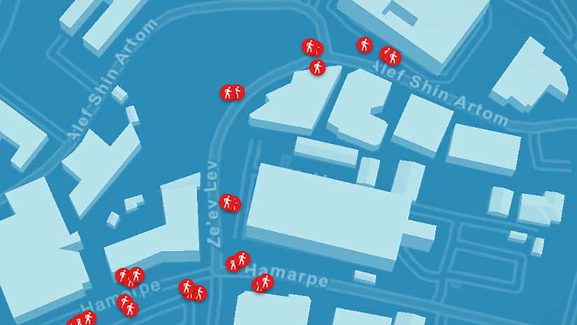
The collaborative agreement between Esri and Mobileye, a leading provider of advanced driver-assistance systems software, will bring Mobileye’s advanced real-time, high-definition mapping and location data collection capabilities into Esri’s platform as native services. Esri customers will be able to visualize and analyze mapping and location data streamed from vehicle sensors equipped with Mobileye technology, enabling a new type of living, dynamic map on the Esri platform. The new agreement vastly expands the existing relationship between Esri and Mobileye, an Intel company, bringing advancements in both safety and data collection. The agreement enlarges the scope and makes this data more accessible to Esri customers. The dynamic nature of this new data source will enable better decision-making and greater automation for Esri customers.


