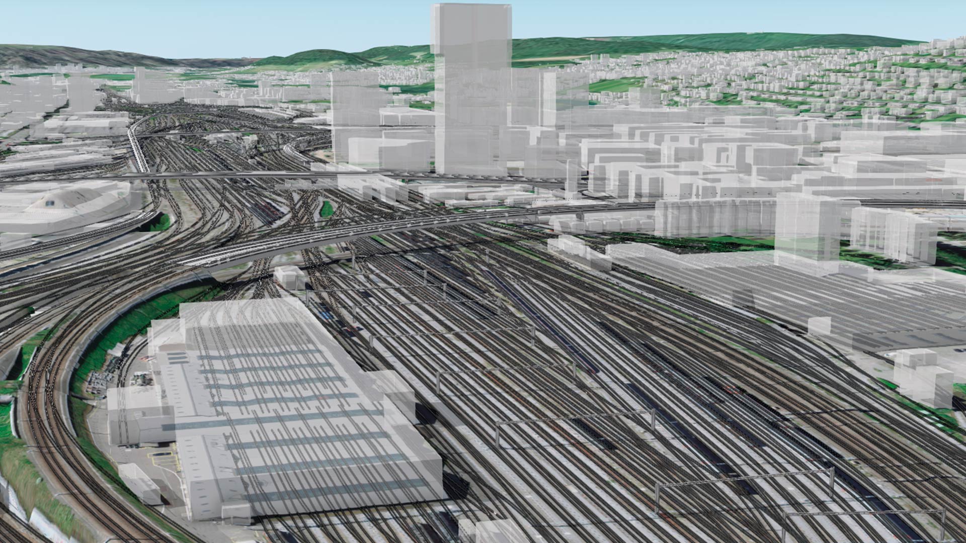
In recent years, the advent of reality capture technologies has revolutionized the way we collect and manage spatial data, particularly in indoor environments. An increasing number of scanning devices use light detection and ranging (lidar) and 360-degree cameras to capture highly accurate 3D representations of indoor spaces. But how exactly can reality capture data be used to support indoor GIS applications? What are the challenges of using reality capture data and the workflows that can help address them?
There are numerous situations in which reality capture data can enhance the creation and management of an indoor GIS. When computer-aided design (CAD) or building information modeling (BIM) floor plans are unavailable or outdated, reality capture can quickly generate accurate 3D representations of indoor spaces. The same goes for remodeled architecture, where capturing “as-built” conditions can provide essential data for future planning and design.
Additionally, 360-degree imagery can allow you to visualize equipment and amenities in spaces like conference rooms before booking. Accurate indoor data also assists facility managers in tracking assets, planning maintenance, and optimizing space utilization. Detailed, up-to-date indoor maps can aid in emergency response planning, and provide first responders with critical information about building layouts.

A growing number of companies offer portable reality capture devices that can achieve these goals. Once data has been collected using reality capture systems, the next step is to process this data for use in an indoor GIS. To effectively convert raw point cloud data into usable indoor GIS data, consider the following steps.
1. Register Scans
In many cases, a single indoor space may require multiple scans to capture all relevant areas. The first step is to register these scans together to create point clouds.
Registration involves aligning the scans based on overlapping features. In large datasets, consider registering scans on a floor-by-floor basis, rather than merging all scans into a single large point cloud.
If control points were captured during the data collection process, you can use them to autoregister the scans. If no control points are available, you can use the vendor’s software to manually align scans by matching features in overlapping areas.
2. Georeference the Point Cloud
Georeferencing ensures that point cloud data is aligned with a real-world coordinate system.
Most vendors provide tools within their software to georeference the point cloud to a suitable projected coordinate system. You can use GPS control points if they were collected during the scanning process. If no control points are available, check if the vendor’s software allows positioning by using a satellite imagery basemap.
3. Export the Processed Data
After processing, the next step is to export the point cloud data into a format that is compatible for use in ArcGIS Pro. This includes exporting point cloud data as LAS or LAZ file formats. If 360-degree images were captured alongside the point cloud, export these to an E57 format (which supports embedded images) as equirectangular images. You can then import the images from the E57 file using the Import Indoor Images tool.
4. Generate Floor Plans from Point Cloud Data
Once the LAS or LAZ file is ready, you can use the Generate Floor Plan From Point Cloud tool in the Indoors toolbox in ArcGIS Pro to create polyline floor plan features in the GIS.
Learn more about best practices when scanning building data and creating an indoor GIS from the point cloud.
Quality Assurance and Editing
After generating your floor plans from point cloud data, it is essential to perform quality assurance and editing. This ensures that the output meets the required standards for accuracy and usability in indoor GIS applications.
Once the Generate Floor Plan From Point Cloud tool has been run, the output will consist of polylines that represent walls, doors, and other vertical surfaces. Conduct a visual assessment of the linework in ArcGIS Pro to look for gaps, overlaps, and inaccuracies in the polylines. You can use the point cloud as a visual reference to differentiate between walls and furniture as well as to identify any missing features.
Once the review is complete, depending on the quality of the linework, you may need to perform various cleanup tasks:
- Close gaps in walls using the Create Features or Edit Vertices tools. Gaps may occur due to factors like large windows, open doors, or incomplete scanning.
- Delete unwanted features. For example, polylines may have been created where furniture or light fixtures were scanned, but these should not be included in the floor plan.
- Reshape polylines using the Modify Features tools to adjust polylines where necessary. This includes extending, trimming, or merging lines to ensure continuity, or using the Align Features tool to preserve parallel walls at a consistent thickness.
When modifying your data, it can be helpful to enable snapping to ensure that polylines connect at vertices. You can also use a reference grid to assist in aligning walls.
Once editing is complete, validate the accuracy of the edited floor plans by checking key dimensions against known measurements from the point cloud and cross-referencing with any other data you may have available, such as CAD or BIM. The final polylines should represent closed space boundaries and will be used to create polygons representing building footprints (building extent), floors, and rooms in the indoor GIS.
Import Polylines to an Indoors Workspace
After completing quality assurance and editing workflows, the final step is to import the refined polylines into an ArcGIS Indoors workspace. This allows you to create a comprehensive indoor GIS for facility management, emergency planning, and more.
To import into an Indoors workspace, run the Import Features To Indoor Dataset tool to create polygons representing building footprints, floors, and rooms based on input polylines.

After the tool runs, review the output to ensure the resulting floor plan features meet your needs. If you find errors or discrepancies, use the Create Features and Modify Features panes to make necessary adjustments. This may involve adding new features, deleting unnecessary ones, or reshaping existing features for accuracy.
After creating the floor plan geometry, you can add relevant attributes to the imported features, such as room names, space use types, and other metadata.
Import Images to an Indoors Workspace
Once you have floor plan features in an indoor GIS, you can import any panoramic images captured during the scanning process. Run the Import Indoor Images tool to import 360-degree photos from an E57 file into an Oriented Imagery layer. This layer can be used in floor-aware maps within ArcGIS Indoors apps and across the Esri ecosystem.
Reality capture technologies, combined with effective processing and editing workflows, empower organizations to create accurate and detailed foundational data for an indoor GIS. By using tools like ArcGIS Pro and its Indoors capabilities, professionals can significantly improve facility management, emergency planning, and overall spatial data management workflows.
About the authors

Sophie Frank