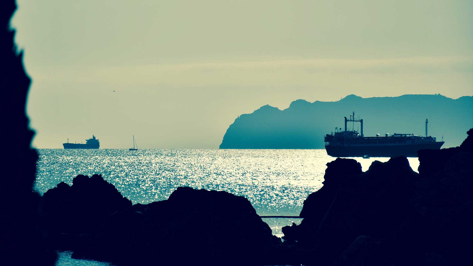
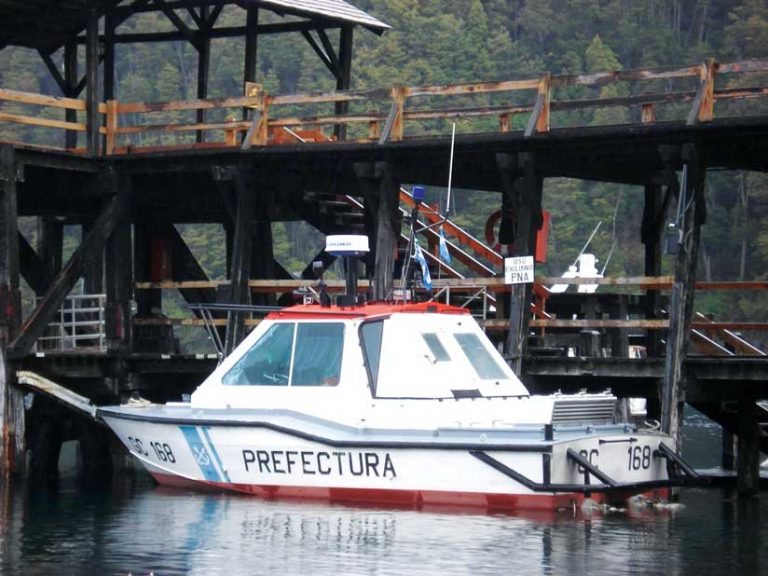
As recently as five years ago, the Argentine Coast Guard, or Prefectura Naval Argentina, faced an uphill battle. It patrolled miles of coastal waters, monitoring vessels for illegal activities such as drug smuggling and fish poaching. However, implementation of real-time technology to track and analyze its patrols has improved the naval prefecture’s decision-making processes and made them more effective.
Prefectura Naval oversees an area of almost 1,400,000 square nautical miles (4.8 million square kilometers) of water along the Argentinean Exclusive Economic Zone (EEZ), which extends 200 nautical miles from the coast and encompasses more than 3,800 kilometers of waterways. Portions of these waterways traverse lush subtropical forests that are attractive routes for smugglers and drug traffickers.
“We had very little information about the use of our seas,” said Ernesto Miguel Klocker, the director of informatics and communications for Prefectura Naval.
Previously, the coast guard’s primary enforcement tool was vigilance: constant patrolling and investigation of all ships within the porous, 200-mile EEZ border. The coast guard, as part of the Ministry of Security of Argentina, deployed ships, helicopters, and observer planes to protect the EEZ from illegal fishing activities.
Vessels would attempt to sneak into the zone to poach fish or conduct illegal activities. The only way the coast guard could get evidence of poaching or illegal activity was through patrolling the area, confirming the activity visually, and taking appropriate action. The process was limited by the number of patrolling ships and confined by the effective reach of its radar.
The process of accurately identifying and tracking illegal activities was time-consuming. Data was stored on isolated, multiple systems. The coast guard could only see a portion of the information at one time. Getting a complete picture of the activities of a specific vessel required working with different systems and calling on an analyst to create a report to charge the illegal vessel. Prefectura Naval faced the same challenges patrolling internal rivers, such as Paraná and La Plata, where many smugglers of both drugs and people operate.
Esri distributor Aeroterra S.A. worked with Prefectura Naval to implement a real-time tracking system. Called Guardacostas Pro, it consists primarily of ArcGIS Enterprise and ArcGIS GeoEvent Server, with analysis capabilities provided by ArcGIS GeoAnalytics Server and ArcGIS Insights.
Vessels involved in illegal activities, such as poaching, usually do not transmit their positions. The real-time system monitors every vessel and alerts the coast guard immediately when vessels illegally encroach on Argentine waters. Through signal processing and radar images, mission control can track the positions of ships inside and outside the EEZ in real time and detect ships that are not transmitting their position.

Using ArcGIS GeoEvent Server, Prefectura Naval ingests and manages the data feeds, filters the incoming data for events of interest, and configures alerts to be sent out when needed. ArcGIS GeoAnalytics Server was also implemented to conduct deep analysis on the huge amounts of data collected to see trends and patterns. Not only is the whole process automated, but Prefectura Naval now also had a way to consolidate data from various systems for a common operating picture.
By using the ArcGIS platform, Prefectura Naval can now get data from different systems and combine it with geographic information to provide a complete operating picture. It can now track more vessels with more data than ever before, resulting in keen situational awareness and better enforcement.
The improvement over the previous manual visual system is striking. From just 3 million records from about 20 feeds, Prefectura’s database has grown to more than 17 billion records coming in from 50 feeds. With ArcGIS GeoEvent Server, Prefectura can process 1,000 records per second and analyze them in real time.
The success of the Guardacostas Pro system has led to its wider adoption within the Ministry of Security. Prefectura Naval is rolling out Esri technology in other groups such as the federal police, the airport security police, and the national guard. The ArcGIS system is used to track assets through mobile phones, radios, and vessels with location sensors. Prefectura Naval also uses ArcGIS Enterprise sites to share data with other security forces to improve deployment of personnel in the field.
Gathering all the information available from different systems represented a substantial technical challenge. Since the implementation of the ArcGIS platform, data is received in real time and can be processed, displayed, and archived instantly. The information produced is available for security purposes, further analysis, inclusion in statistics, and levying fines. The Guardacostas Pro system helps Prefectura Naval Argentina meet one of its most important objectives: having a full view of the area under the control of the Argentine Maritime Authority.