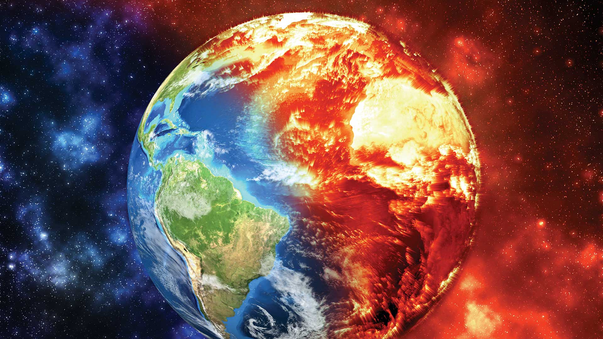
The increase in the number of extreme weather events in 2022 has brought home the reality of climate change.
From May through September, heat waves blistered communities across the United States. In Europe, the worst drought in 500 years and a heat wave that broke high temperature records exacerbated wildfires that blazed in France, Spain, and Portugal. Hurricane Ian, which hammered Florida and South Carolina, caused the second-largest insured loss on record.
These are just a few examples of weather patterns that have become more extreme, devastating, and—unfortunately—more common. As extreme weather events become more pervasive, the need to deal with them becomes increasingly urgent.
In “Climate Action: Reasons for Hope,” Esri chief scientist Dawn Wright highlighted some of the ways the geographic approach and GIS are helping reveal the causes of climate change, focus mitigation efforts, and evaluate and integrate all available resources to build a more resilient and sustainable world.
Articles in this issue demonstrate the numerous ways GIS is being used to address aspects of climate change. For example, GIS played a vital role in responding to epic flooding in Mozambique. Using drone-captured imagery and artificial intelligence, people trapped by floodwaters were more quickly found and rescued.
GIS also has a vital role before disasters to identify mitigation strategies that will lessen the impact of these events. After disasters, GIS can assist in not only responding to events, but also in coordinating the work of building back communities so that they are more resilient. Through building digital twins in GIS, all communities can access tools to better understand threats, marshal resources, and model scenarios for building communities that are equitable, attractive, and sustainable.
The tangle of challenges the world faces now are the product of decisions that were made in isolation, bereft of the context that would illuminate their far-reaching effects. We need to think about these challenges in new ways. The geographic approach, implemented through GIS, provides new ways to see and think about the world’s problems, collaborate, and devise solutions. The constantly expanding capabilities of ArcGIS to integrate, analyze, visualize, and model data are enabling insight into complex phenomena such as weather and ocean systems. This understanding is vital to meeting the current and future challenges of climate change.
About the author