This often-asked question is discussed by government at all levels: local, state and federal. This discussion about sharing covers all kinds of data that includes lidar, imagery, topography, land cover, land use, geology, hydrography, biodiversity, soils, survey control, place-names, address, parcel, property characteristics, utilities, and school district boundaries.
Why don’t we want to share the data we create and maintain? There are many reasons we’re hesitant.
We’re proud of our data, and we want recognition for our work. We don’t want our data misused. Maybe there are errors in the data that we don’t want to be made public. We’ve been working on collecting and improving our data for years. We pay for staff time, and it costs money to maintain servers, networks, and desktops. Some of us sell data to help recoup costs and use those funds for our departments.
It All Started with Data Sharing
If you’re like me, the last time you took a trip, you used Waze so that you would be alerted to road hazards, traffic, and speed traps. This information is the product of data about traffic conditions shared by other drivers with Waze. This sharing enables greater efficiency for you and others when traffic conditions change.
What you might not know is that the ease of navigation afforded by Waze and other systems that we enjoy and rely on started with the sharing of government data. It’s a long story that began when the US Census Bureau wanted to make census data collection and management more efficient.
The bureau developed Dual Independent Map Encoding (DIME), an encoding system for efficiently storing geographic data. DIME became a key component in the development of the Topologically Integrated Geographic Encoding and Referencing (TIGER) system created for the 1990 census. It is a digital database of geographic features such as railroads, rivers, lakes, street centerlines, and political and census boundaries.
TIGER data was shared with the public. Several companies used this data to create commercial products for addressing, mapping, routing, geocoding, and many other uses. The street data we use today is developed from many sources, using many collection techniques, but it all started when the US Census Bureau shared its street centerline data. As the bureau noted in 2014 on the 25th anniversary of the development of the TIGER system, “The convenience of getting directions today on smartphones and tablets can trace its roots to the digital geographic database created 25 years ago by the US Census Bureau.”
There’s more to the story of data sharing. The Global Positioning System (GPS) was started by the US Department of Defense in the early 1970s and overcame the limitations of earlier navigation systems. In May of 2000, GPS became more valuable to the private sector and the general public when selective availability—the intentional degradation of location precision for nonmilitary users—was turned off. This changed everything by enabling everyone to acquire highly precise locations. Combining much more accurate GPS with the commercialized street centerline data eventually made possible maps and navigation on smartphones. Few of the multitude of uses of GPS and street centerline data were considered or even conceived of when these services and data were opened to the public.
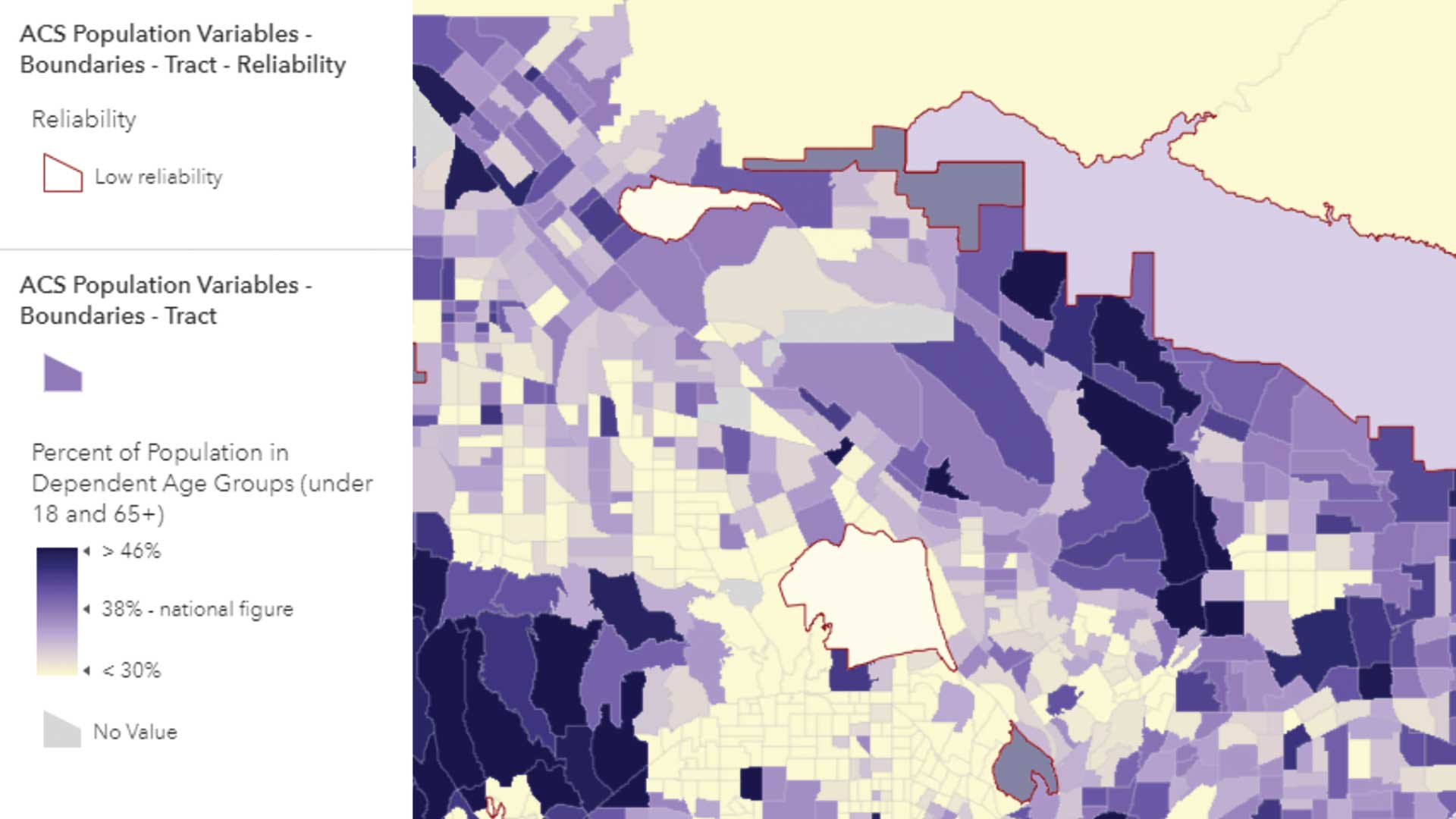
Today we share our address datasets with emergency response systems, and everyone benefits. When errors are detected and corrected, the master address database is updated. As data becomes standardized and used by more organizations, it becomes more valuable. Duplicate datasets are eliminated, and reliable authoritative data is established.
Often data becomes more valuable to others than to the original owner and maintainer of the data. To a 9-1-1 caller, the accuracy of address data can be a matter of life or death.
A Better Way to Share Data
But what about that other data we have? Street data, digital elevation models, building footprints, and especially parcel data are extremely valuable for many government departments, local businesses, volunteer groups, individuals, conservation organizations, and others. Just about everyone can use good data.
But unfortunately, not all data is collected at the same scale, level of detail, and degree of accuracy, which makes combining data and sharing data in a consistent manner costly and difficult. The challenge is to combine shared data with other data and deliver consistent data and mapping across jurisdictions.
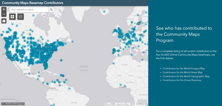
There is a solution. Esri helps you share your authoritative data and services with the wider GIS community through the Community Maps program, which contributes data to the ArcGIS Living Atlas of the World. Once vetted and incorporated, your data becomes part of a seamless map of authoritative data that is consistent, up-to-date, and accurate and displayed using sophisticated cartography.
While your data and maps have been created for specific reasons, your work can benefit others by sharing it through the Community Maps program. Your data improves the ArcGIS Living Atlas and makes it more complete. The utility of your data can be extended by adding curated data and services that help users solve problems and make better decisions.
In the tradition of government sharing data and services that laid the foundation for GIS, your data can become part of solutions to today’s issues. Data sharing matters. Your contributions matter. Better maps and data help us make better decisions. Contribute to the Community Maps program. Learn how you can contribute.