By Cassandra Galindo
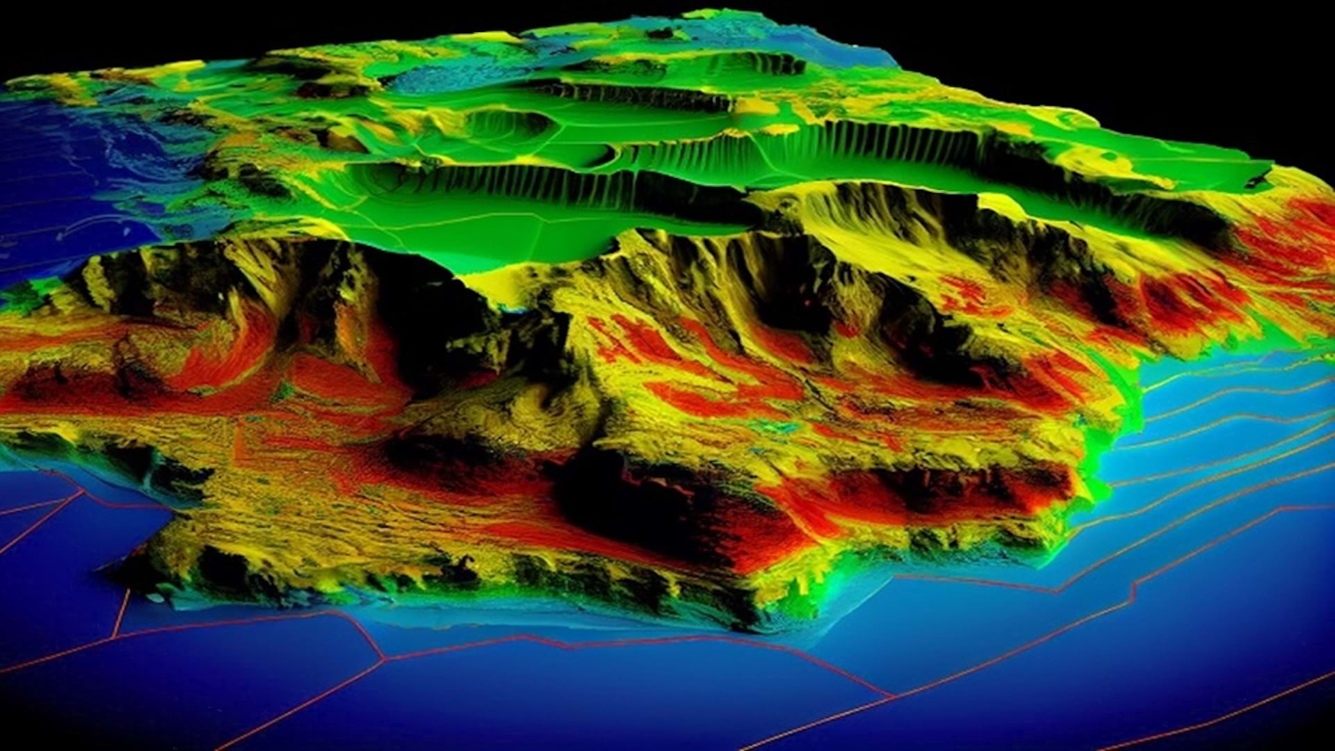
Remote sensing reveals the world from afar, enabling people to observe and perform analysis without having physical contact with a place. It also helps transform data into maps and actionable insights. From satellites capturing Earth’s vibrant images to drones uncovering field patterns and sensors exploring rocks on distant planets, this technology drives innovation.
As a result, demand for imagery solutions is increasing. The global remote sensing market is projected to grow from $24.9 billion in 2024 to $125.6 billion by 2033, according to Dimension Market Research.
Esri imagery and remote sensing practice lead Sheridan Moore helps customers rethink remote sensing by crafting workflows that tackle their unique challenges and refine methodologies.
“There’s so much to remote sensing that people don’t know about. I love being able to think outside the box,” explained Moore. “This is why I joined Esri. We’re making a real impact, and I can craft workflows that show what imagery can do for others.”
As demand for remote sensing applications grows, so does the need for skilled professionals. In this interview, Moore shares how to break into this evolving field and succeed in a career that’s shaping the future.
This interview has been condensed and edited for clarity.
Q: How is remote sensing driving innovation and shaping industries?
A: Using satellites, drones, and sensors to collect data from a distance, remote sensing turns observations into valuable insights that are driving innovative solutions across industries.
Take agriculture, for example. Farmers rely on drones to monitor crop health, predict yields, and analyze soil conditions. This helps them make smarter decisions. Insurance companies use satellite and aerial images to assess damage and speed up claims after natural disasters. Archaeologists depend on lidar technology to map and uncover ancient hidden sites. Even governments apply remote sensing for defense monitoring and environmental planning. From urban development to disaster management, remote sensing provides cutting-edge solutions to the challenges that affect us all.
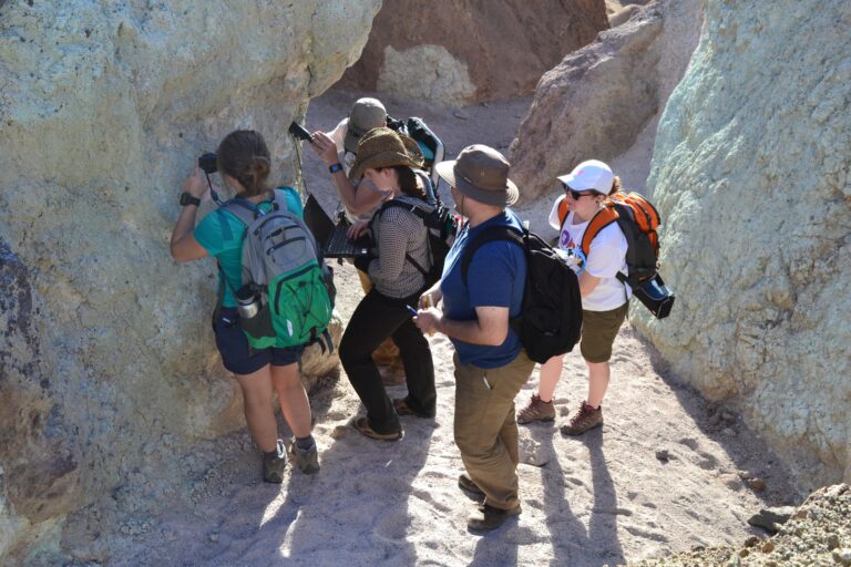
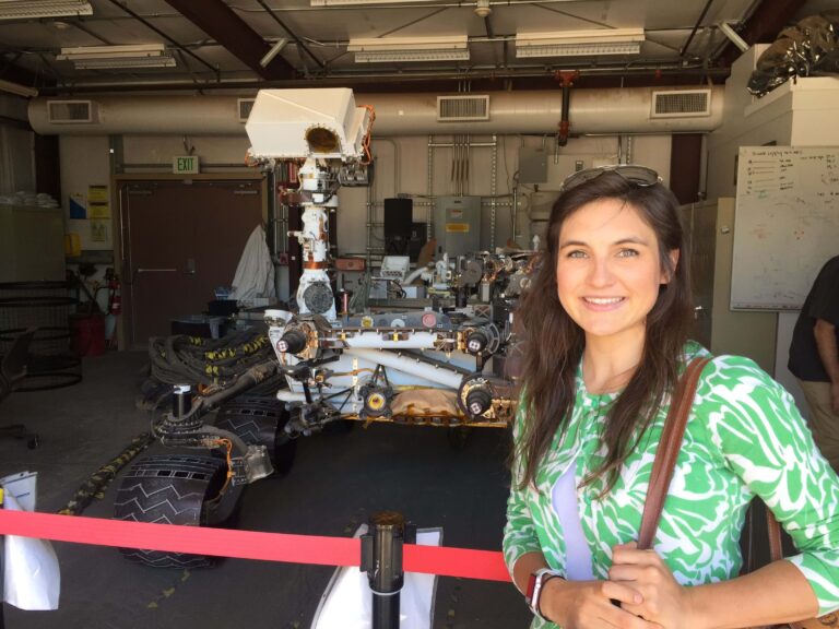
And it doesn’t stop at Earth. Remote sensing is opening doors to space exploration as well. Early in my career, I worked at the US National Aeronautics and Space Administration [NASA], studying the big bang theory with remote sensing tools. Later, I shifted to exploring Mars, using these technologies to study its surface and geology. The beauty of remote sensing lies in the perspectives it unlocks—showing us things we wouldn’t normally see. It’s a tool with almost endless possibilities and applications.

Q: What kinds of careers can you find in remote sensing, and how do they differ across industries?
A: Remote sensing used to be seen as a niche field with a steep learning curve. But now, it’s become so versatile that there are more opportunities than ever. It’s as technical or straightforward as you want it to be.
In many industries, the term “remote sensing” doesn’t come up directly because it looks different depending on the application. People typically encounter remote sensing in college, especially if they’re studying geography, environmental science, or geospatial science. Those paths lead to careers as geologists, GIS specialists, environmental scientists, urban planners, or even the newer role of remote sensing scientist.
Other career paths can be educational—I’m also a middle school science teacher. For example, I use drones in my curriculum to introduce my students to remote sensing. It’s a hands-on and fun way to spark interest in the field. At the high school level, [the assignment] might focus on photography, like exploring how light reflects in images and focal planes—basically using remote sensing to study light. It all depends on the context.
But not every path is traditional. If you’re studying something like agriculture or archaeology, you might learn remote sensing as part of a specific course and use it in ways that don’t fit into a clear job title. If you’re more interested in the hardware, a drone or satellite technician role might be a great fit.
Q: What skills and educational background are essential for remote sensing careers?
A: The great thing about remote sensing is that the education you need really depends on the direction you want to take. If you’re aiming to become a remote sensing scientist, a degree in fields such as geography, environmental science, computer science, or engineering is a solid choice. But if your goal is something like flying drones or working on satellites, you can get there through certification programs—it’s all about what interests you.
Beyond the degree side, soft skills such as curiosity and learning from mistakes are key. Curiosity can take you far—it turns exploration into something fun, not just another task. And being open to learning from mistakes is also important because remote sensing often involves experimenting and refining methods.
Of course, you’ll need some hard skills too. A good grasp of algebra, physics, and computer science goes a long way, and being comfortable with tools such as GIS or image processing software can give you an edge.
What’s great about remote sensing is that it offers so many paths. Whether you love diving into analysis or just want to explore how things like UAVs [unpiloted aerial vehicles] and satellites work, there’s a spot for everyone in this field.

Q: How can aspiring professionals break into the remote sensing field?
A: Breaking into remote sensing starts with curiosity and hands-on projects. For example, I’ve had my middle school students work with GoPro data on small boats through Educational Passages’ Miniboat Program to track ocean currents, winds, and waves. Simple activities like these can spark early interest and teach essential skills.
Gaining practical experience is a key step. Flying drones to capture aerial images or working with freely available data from sources such as NASA or ArcGIS Living Atlas of the World can help you get started. Educational programs such as the Mars Exploration Student Data Teams research experience or resources such as Landsat Explorer provide opportunities to explore the field early on. Esri’s remote sensing tools and tutorials are another good resource for gaining skills at your own pace.
Mentorship is another important step. Connecting with experienced professionals can offer guidance and answer your questions. Working on projects or internships in areas you’re passionate about shows employers what you can do.
I started in planetary science. Others I’ve known have found their way into remote sensing by studying things such as ecology or medicine. There’s no single path into remote sensing, which is what makes it exciting.

Q: What makes remote sensing a rewarding career choice?
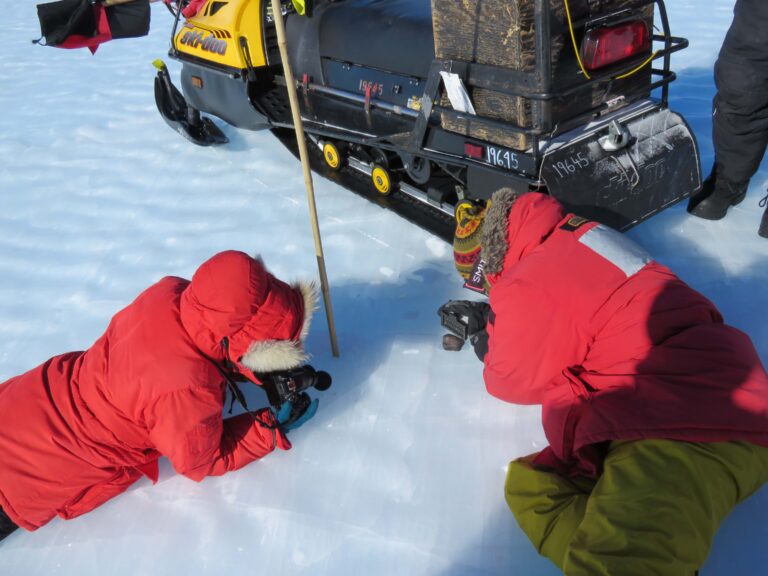
A: What I love about remote sensing is how it can start small—like taking photos on your phone for fun—and grow into amazing opportunities, such as identifying meteorites in Antarctica. It’s a field that connects so many technologies, making it adaptable and full of possibilities.
The variety of applications never stops inspiring me. For example, I visited the Coastal Studies Science Institute at East Carolina University’s Outer Banks Campus nd learned about marine archaeologists using remote sensing to study shipwrecks off the coast. They’re re-creating these ships with photogrammetry, uncovering where they came from, what happened to them, and what they looked like. It’s just so fascinating to see how remote sensing helps us uncover history like that.
One of the most rewarding parts of my work is inspiring the next generation through teaching and helping organizations solve real-world challenges with imagery. This career has shown me how remote sensing can make a difference on so many levels.
Note: Esri offers a wide variety of massive open online courses (MOOCs), tutorials, and other resources for remote sensing and GIS.

