Data
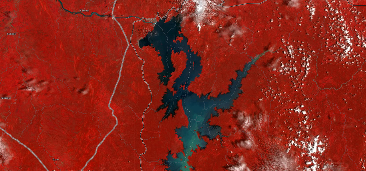
Data is increasingly available in spatial, temporal, and spectral resolutions from different sensor platforms and modalities.

Resources for teaching and research
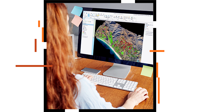
Remote sensing and image analysis methods are advancing rapidly. A wealth of high-resolution and up-to-date raster data can be collected with different sensor platforms. Image processing and analysis can now be done on-site, with desktop computers, servers, mobile apps, and in the cloud.
New analysis methods and algorithms emerge alongside new tools. Higher education students need to learn these techniques and how to use the latest tools to conduct research, seize career opportunities, and make an impact.
The fundamentals of remote sensing technology haven’t changed, but new tools, methods, data, and applications continue to develop. To succeed, students need to understand basic concepts and learn modern skills.
Esri’s education outreach team hosts webinars on imagery and remote sensing topics for educators, researchers, and students. Access the recordings to learn how to incorporate the latest tools and workflows into your coursework.

Each year Esri hosts this two-day virtual event to advance imagery and remote sensing in education. Learn about the latest technology, explore ways to refine your curriculum, interact with experts, and gain essential industry knowledge.
")
Explore authoritative resources to help you manage, analyze, and use imagery in your courses.

Find and use resources based on experience level.
Beginner

Intermediate
Advanced
Researcher
Find resources based on the topic of your interest.
Fill out the form to get help regarding imagery and remote sensing education, teaching methods, and research.