Smart Airport: Streamlining Maintenance and Compliance with GIS
Airports are leveraging GIS technology to enhance airfield safety, regulatory compliance, and efficiency.
Airports are leveraging GIS technology to enhance airfield safety, regulatory compliance, and efficiency.
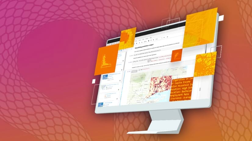
In ArcGIS Online and ArcGIS Enterprise, to make a layout for a web map, you can make a web app.
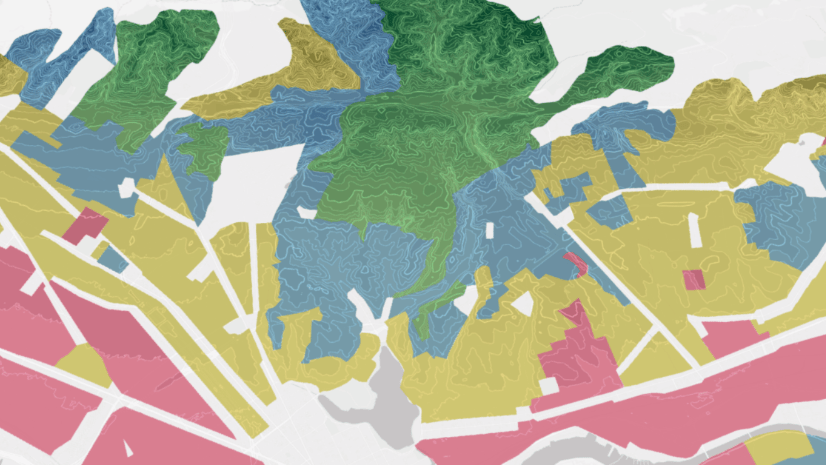
Learn how to extract data within a study area's boundaries.
An Esri partner applied data layers to map out a targeted approach to help save howler monkeys from power-line electrocutions in Costa Rica.
Learn how to use snow data to quickly map a snowstorm.
Review highlights of the new and improved capabilities for raster analysis introduced in 2024.
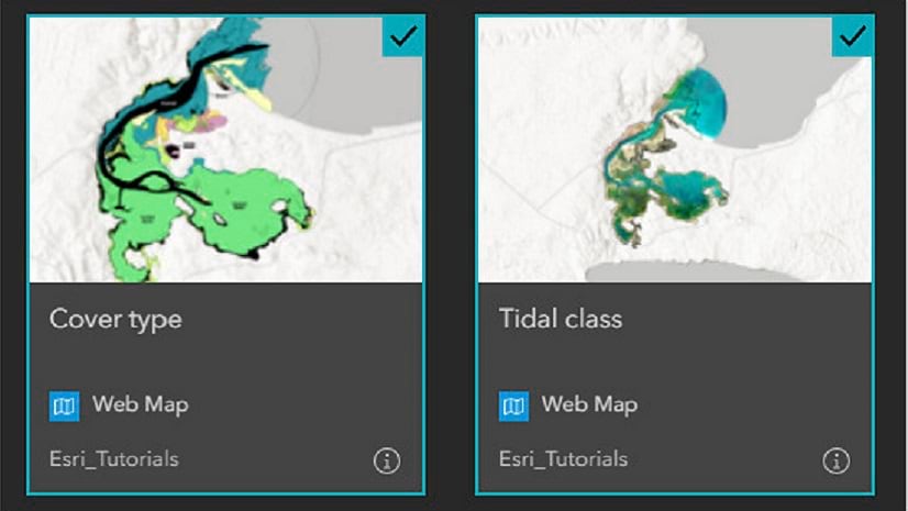
Gain experience using GIS maps to visualize and explore real-world features, analyze data to answer questions, and share maps, data, and more.
During a six-week period, discover how GIS is being used to take positive action against climate change in this upcoming MOOC.
This no-cost training seminar will introduce foundational concepts for writing Python scripts.
In this Faces of YPN article, meet Catherine DuBreck, an accomplished GIS change management consultant and undergraduate instructor.
ArcGIS plays an indispensable role in building a resilient future.
If you're making the transition from ArcMap to ArcGIS Pro, this two-day course will help.