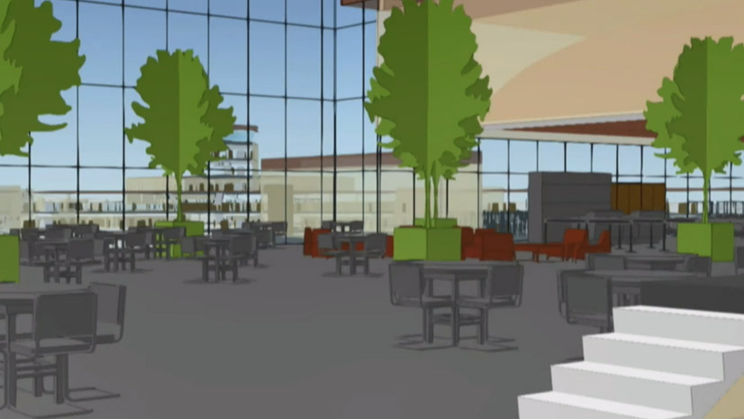
New GeoPlanner App Enables Smart Planning with Geodesign
Create design scenarios and edit, collaborate on, and share designs using the online geospatial tools in Esri's new GeoPlanner...
Create design scenarios and edit, collaborate on, and share designs using the online geospatial tools in Esri's new GeoPlanner...
Esri’s Chris Andrews and Don Kuehne talk about why integrating GIS and building information modeling (BIM) technologies is important.
Planning for the future will require innovative technologies and design ideas, which will be topics of discussion at the 2019 Geodesign Summit.
Landscape architect and urban planner Arancha Munoz-Criado, a driving force behind implementation of a green infrastructure policy...
Pennsylvania State University World Campus has launched an online education program geared toward working professionals studying geodesign.
Online education programs like Penn State University's Master of Professional Studies in Geodesign gives busy working professionals...
Presenters at the 2015 Geodesign Summit showed how geodesign technologies are moving into areas such as transportation, economic planning, and...
David Early from the planning and design firm PlaceWorks talks about the innovative new tools shown at the Geodesign Summit...
If you use ArcGIS in any way, shape, or form, Scott Morehouse had a big hand in bringing your software to life.
Geodesign methods and supporting technologies will be needed more than ever as the population increases.
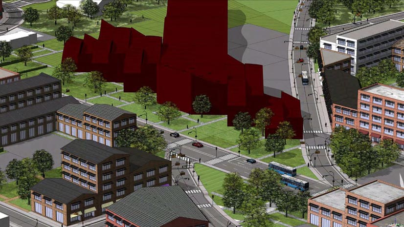
If Portland, Oregon, hosted the Olympics in the future, what would the venues look like, and where would they be located?