Evaluate Program Impact with Remote Sensing and Machine Learning
Learn techniques to analyze free or inexpensive satellite and aerial imagery to monitor agricultural, economic, and environmental programs.
Learn techniques to analyze free or inexpensive satellite and aerial imagery to monitor agricultural, economic, and environmental programs.
ArcGIS Online Landsat image services will be updated this spring with Landsat Collection 2 imagery. Collection 1 imagery will be retired.
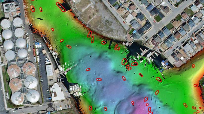
Deep learning tools in ArcGIS Pro were used to automate the task of detecting shipwrecks from bathymetric data of Jamaica Bay, New York.
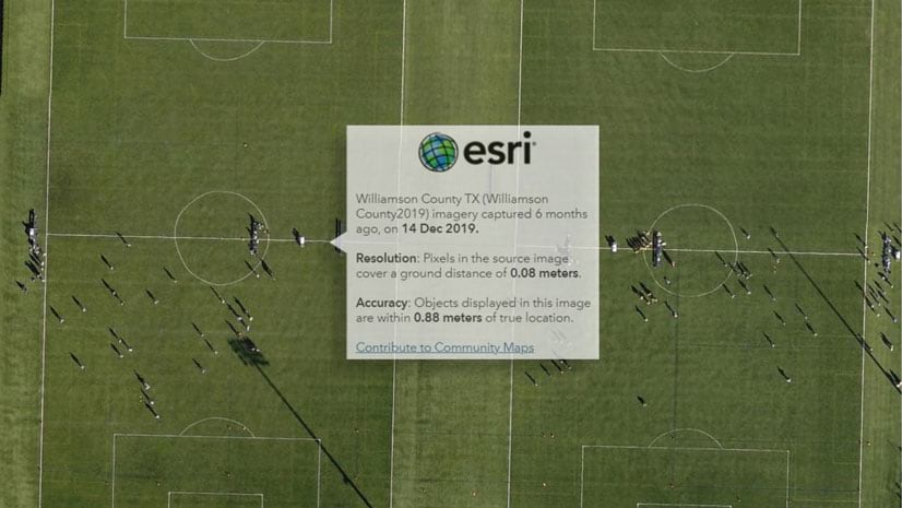
An update in World Imagery provides pop-ups that only return the metadata for the imagery visible within your area of interest.
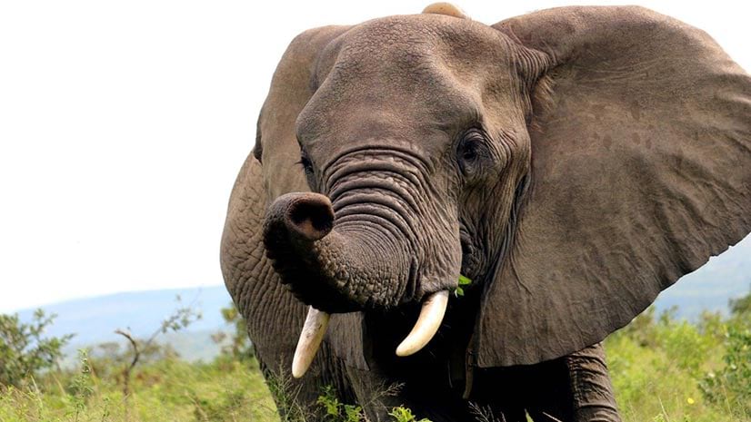
Naftali Honig from African Parks talks about how conservation intelligence can protect animals from poachers.
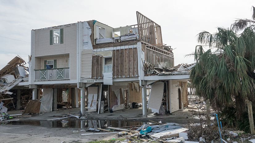
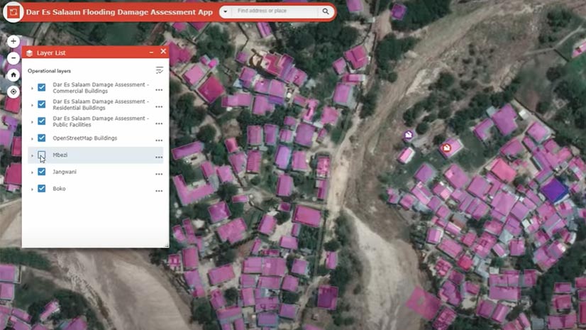
Geospatial Insurance Consortium captured imagery after a hurricane and processed and converted the images into usable maps using Esri technology.
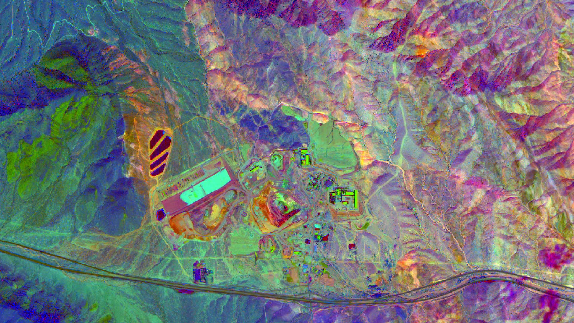
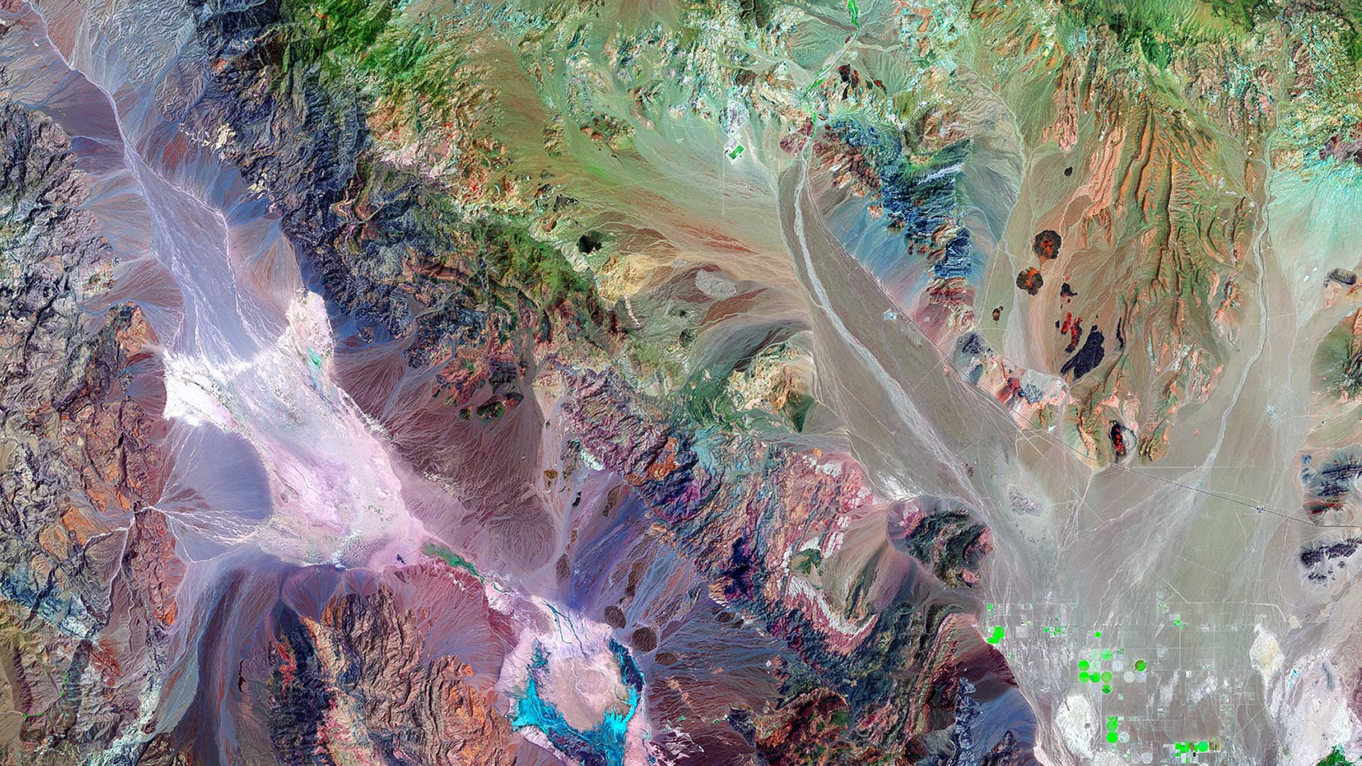
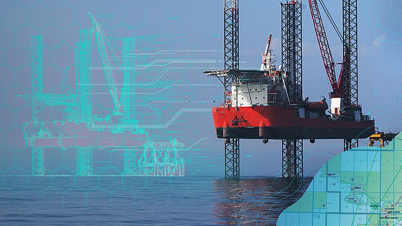
High quality imagery helps in finding mineral and petroleum deposits and Esri ArcGIS can be used to process, enhance, and analyze those images.
Frank Avila from NGA talks about the agency's interest in AI, the growth of the small satellite market, and advances in hyperspectral imagery
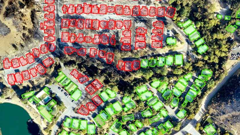
Find out how deep learning within ArcGIS was used on drone imagery to find structures damaged by the devastating Woolsey Fire.
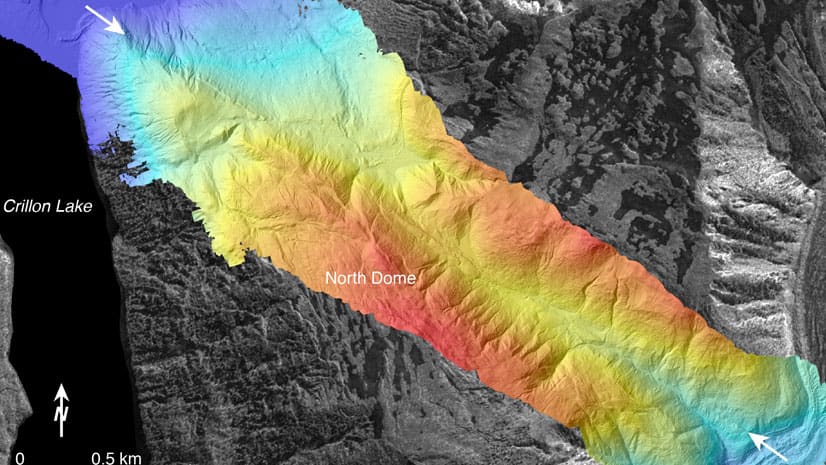
Learn basic lidar concepts and best practices to manage, edit, visualize and share lidar-derived 2D and 3D information products using ArcGIS Pro.
Meet in London from October 29-30, 2019, to find geospatial solutions for petroleum exploration, managing assets, and other tasks.
Lawrie Jordan, director of imagery and remote sensing at Esri, discusses the value of imagery in business and government.