Hardware Offer
Data Appliance 7.0 for ArcGIS includes Esri vector basemaps and preloaded imagery, basemaps, and reference layers, all behind your firewall.
Data Appliance 7.0 for ArcGIS includes Esri vector basemaps and preloaded imagery, basemaps, and reference layers, all behind your firewall.
The focus of three new Esri books will be how to use GIS for science, smarter government, and the census with a fourth devoted to geodatabases.
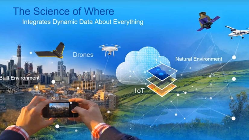
Artificial intelligence (AI) and GIS are intersecting, opening up massive opportunities that were never possible in the past.
The Esri Imagery Summit will cover advances in remote sensing and how artificial intelligence and machine learning is being used with imagery.
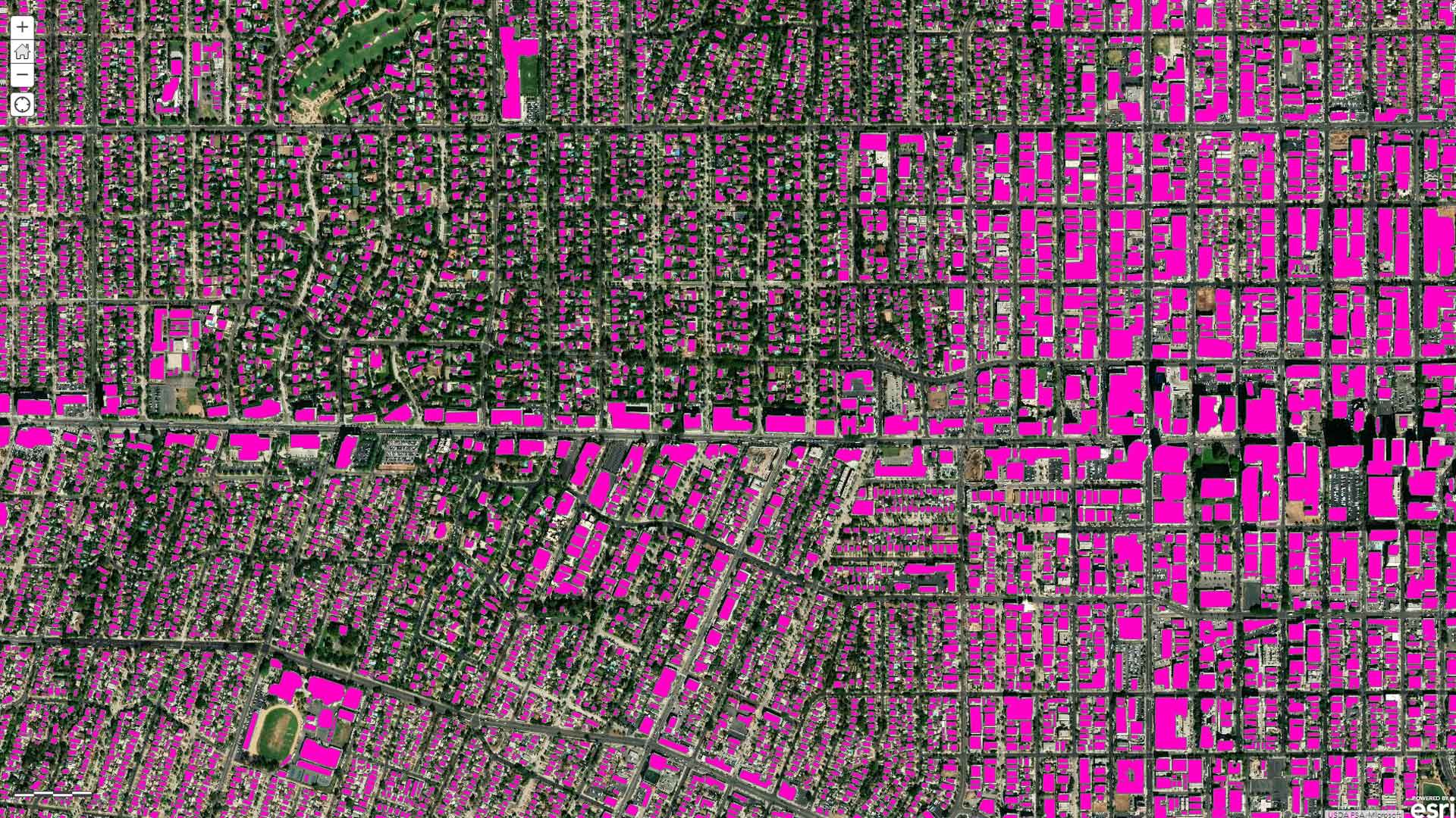
A webinar hosted by Esri covers how to use ArcGIS, machine learning, and artificial intelligence to extract features from imagery.
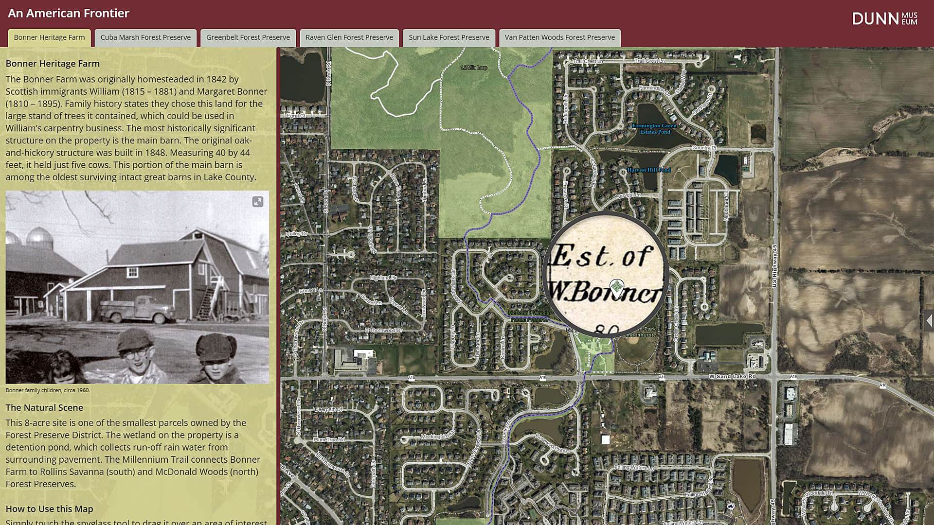
The Bess Bower Dunn Museum in Illinois uses Esri Story Maps to teach visitors about the people, events, and history that shaped Lake County.
Data Appliance 7.0 for ArcGIS plugs into an internal, secure network, delivering preloaded imagery, basemaps, and reference layers.
The South Carolina Air National Guard quickly processed satellite imagery after Hurricane Irene by using GeoImaging Tools for ArcGIS...
Planetary geologist Paul R. Byrne explains how mapping plays a pivotal role in unlocking the secrets of Mercury.
Combine the power of Landsat imagery and ArcGIS using a simple web app.
ArcGIS Online offers imagery from several sources such as Landsat 8, which you can use in your maps and apps.
Want to use world imagery from September 2014 in your basemap? No problem. Esri's new Wayback imagery provides an archive...