Free Spatial Data Science MOOC
Join this course and learn how the application of spatial data science uncovers hidden patterns and improves predictive modeling.
Join this course and learn how the application of spatial data science uncovers hidden patterns and improves predictive modeling.
This no-cost training seminar explores how to use Python scripts to save time and automate common ArcGIS tasks.
Validate your entry-level ArcGIS skills in this new Esri technical certification exam.
Opening on May 1, Esri’s no-cost course explores how GIS is being used to understand and prepare for a more resilient future.
Watch this 5-minute video to update your geospatial workflows with ModelBuilder, the tool for creating and automating geoprocessing models.
Explore ArcGIS capabilities to understand climate-related risks and opportunities to drive positive action in this new, no-cost MOOC.
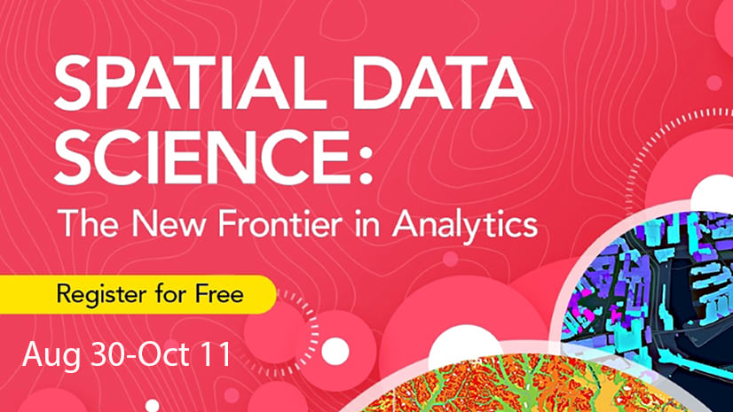
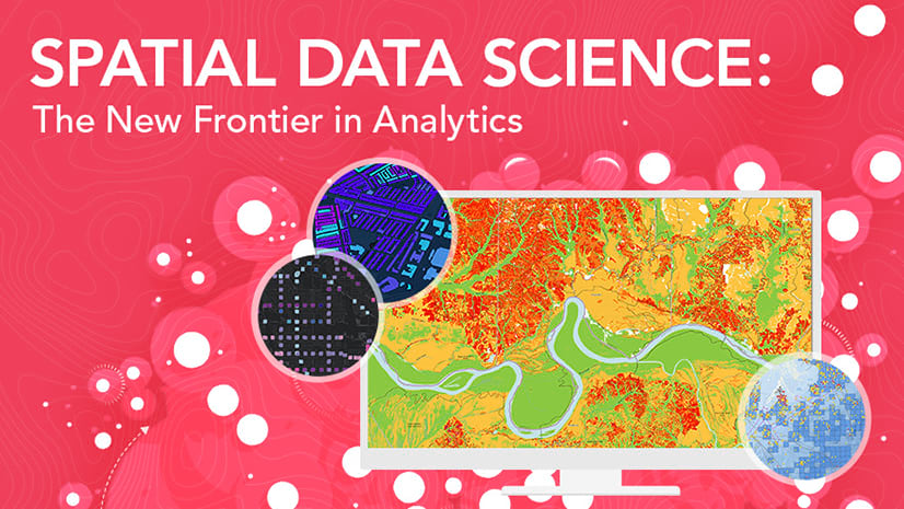
Register for Esri’s free online course and discover how to use location to find patterns and tackle complex problems. Course opens August 30.
Esri Academy has released ArcGIS Labs, a new e-Learning format. The self-paced, scenario-based exercises include a certificate of completion.
In this web course, you will learn about when to use a custom basemap, plus how to create a custom basemap in ArcGIS Pro for your organization.
Learn to gain more insight from data using the latest ArcGIS Pro spatial data science tools in this free course. Registration opens October 5.
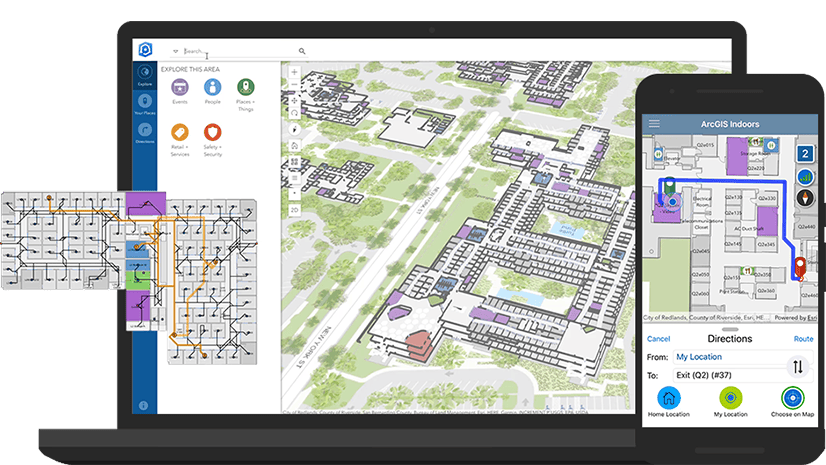
Learn the key workflows used to deploy ArcGIS Indoors in a hands-on, instructor-led course.
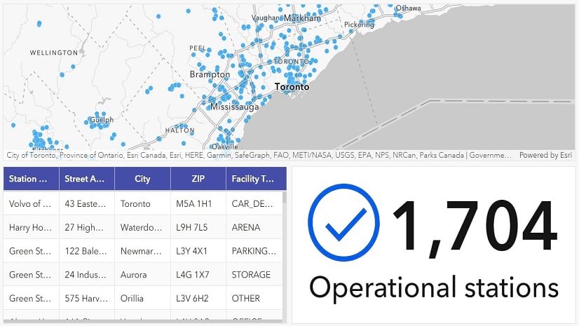
In this lesson, you'll use ArcGIS Dashboards to create a dashboard that allows users to find charging stations for electric vehicles.