Build Your Resume in ArcGIS StoryMaps
ArcGIS StoryMaps isn’t just for maps – you can use it to communicate your professional accomplishments to stand out to potential employers.
ArcGIS StoryMaps isn’t just for maps – you can use it to communicate your professional accomplishments to stand out to potential employers.
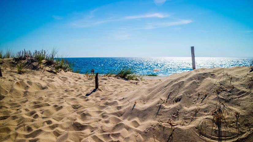
Learn why beaches form and what physical factors produce different colors of beach sand in this story created with ArcGIS StoryMaps.
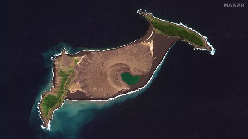
In January 2022, a volcanic eruption obliterated the island of Hunga Tonga-Hunga Ha’apai. See the satellite imagery that captured this event.
ArcGIS StoryMaps is better than ever, from a revamped StoryMaps gallery to a new text editor. Learn about these and other recent updates.
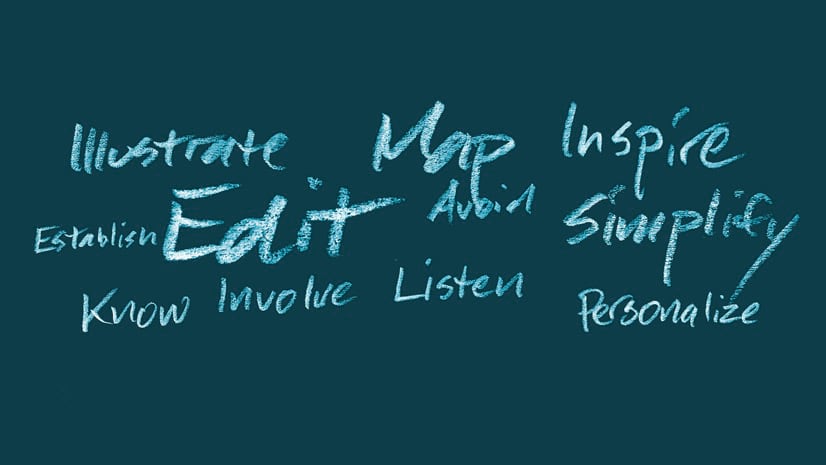
Know your audience. Personalize your story. These are just two of 11 tips on how to tell a good story from the ArcGIS StoryMaps team.
Two students-one from Taiwan and the other from Canada-won first place honors in the 2021 ArcGIS StoryMaps Challenge for Restoring Our Oceans.