GIS Fundamentals Foundation 2024
Validate your entry-level ArcGIS skills in this new Esri technical certification exam.
Validate your entry-level ArcGIS skills in this new Esri technical certification exam.
Opening on May 1, Esri’s no-cost course explores how GIS is being used to understand and prepare for a more resilient future.
Prepare, Respond, Renew, a new title from Esri Press, explores how wildland fire agencies successfully use GIS for mitigation and recovery.
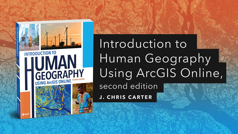
The second edition of Introduction to Human Geography Using ArcGIS Online teaches critical thinking skills and the impact of diverse populations.
Addressing Earth’s Challenges, a new title from Esri Press, contains stories about how earth science organizations use GIS to analyze data.
Watch this 5-minute video to update your geospatial workflows with ModelBuilder, the tool for creating and automating geoprocessing models.
Explore ArcGIS capabilities to understand climate-related risks and opportunities to drive positive action in this new, no-cost MOOC.
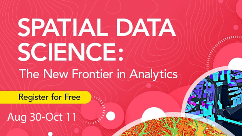
Register for Esri’s free online course and discover how to use location to find patterns and tackle complex problems. Course opens August 30.
Esri Academy has released ArcGIS Labs, a new e-Learning format. The self-paced, scenario-based exercises include a certificate of completion.
In this web course, you will learn about when to use a custom basemap, plus how to create a custom basemap in ArcGIS Pro for your organization.
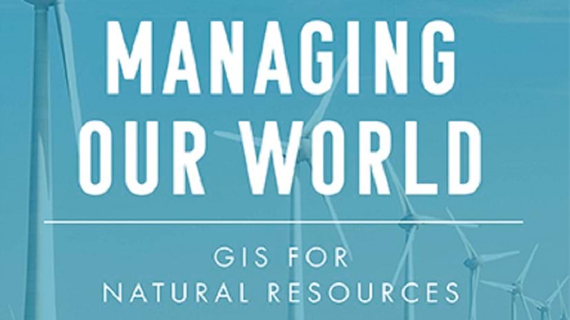
Managing Our World, a new title from Esri Press, explores real-life stories of natural resource organizations using GIS to increase efficiency.
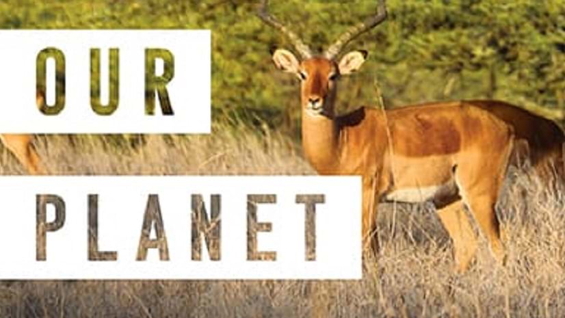
Preserving Our Planet, a new title from Esri Press, explores how conservationists use GIS to meet challenges to biodiversity preservation.