Swiss University Enhances Accessibility with Indoor GIS Technology
Students and staff use smartphones to access digital campus maps with real-time indoor positioning for navigation and barrier-free routing.
Students and staff use smartphones to access digital campus maps with real-time indoor positioning for navigation and barrier-free routing.
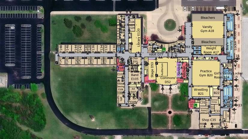
An indoor mapping system was developed for a high school in Fulton County, Illinois, to integrate with emergency response technology.