Montgomery Parks Automates Data Integration Workflow with ArcGIS Data Pipelines
A unique feature layer used to identify park repairs and find contacts to apply for grants is maintained with scheduled data pipelines.
A unique feature layer used to identify park repairs and find contacts to apply for grants is maintained with scheduled data pipelines.
When a park’s boundary is breached by unauthorized land use like illegal waste dumping, Summit Metro Parks tracks violation details online.
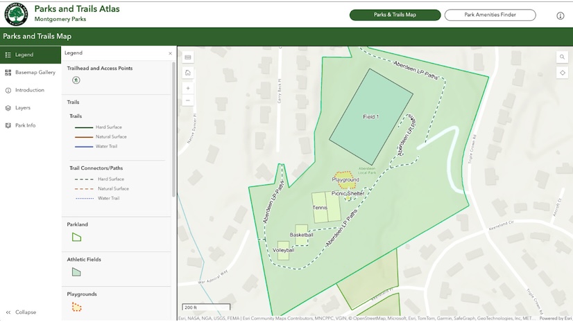
Montgomery Parks redesigned its Parks and Trails Atlas app so users can explore trails, fields, and other amenities in an interactive map.