Careers in Remote Sensing: An Expert Q&A
Find out how to break into the evolving field of remote sensing and succeed in a career that’s shaping the future.
Find out how to break into the evolving field of remote sensing and succeed in a career that’s shaping the future.
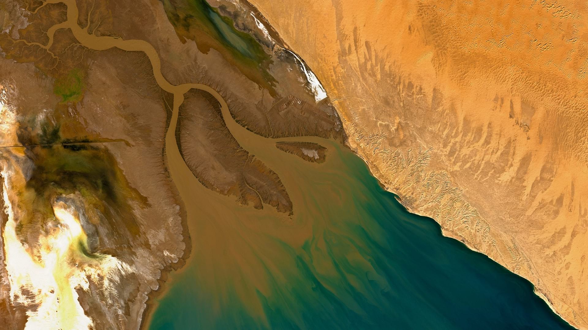
With imagery and remote sensing, the Audubon Society is working to preserve waterbird habitats in the Colorado River delta's largest wetland.
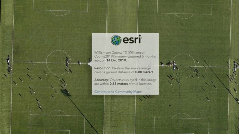
An update in World Imagery provides pop-ups that only return the metadata for the imagery visible within your area of interest.
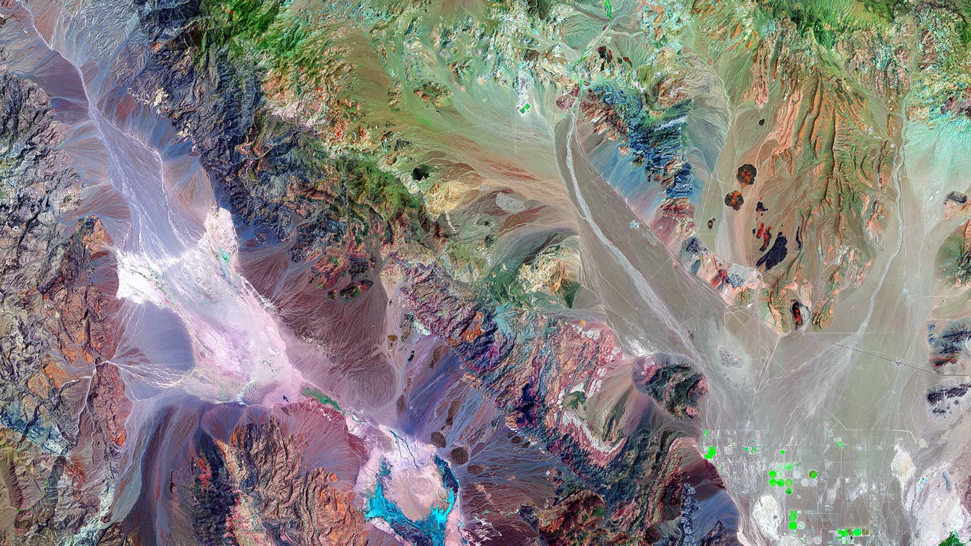
Frank Avila from NGA talks about the agency's interest in AI, the growth of the small satellite market, and advances in hyperspectral imagery
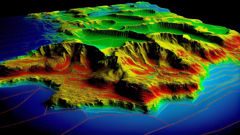
The Esri Imagery Summit will cover advances in remote sensing and how artificial intelligence and machine learning is being used with imagery.