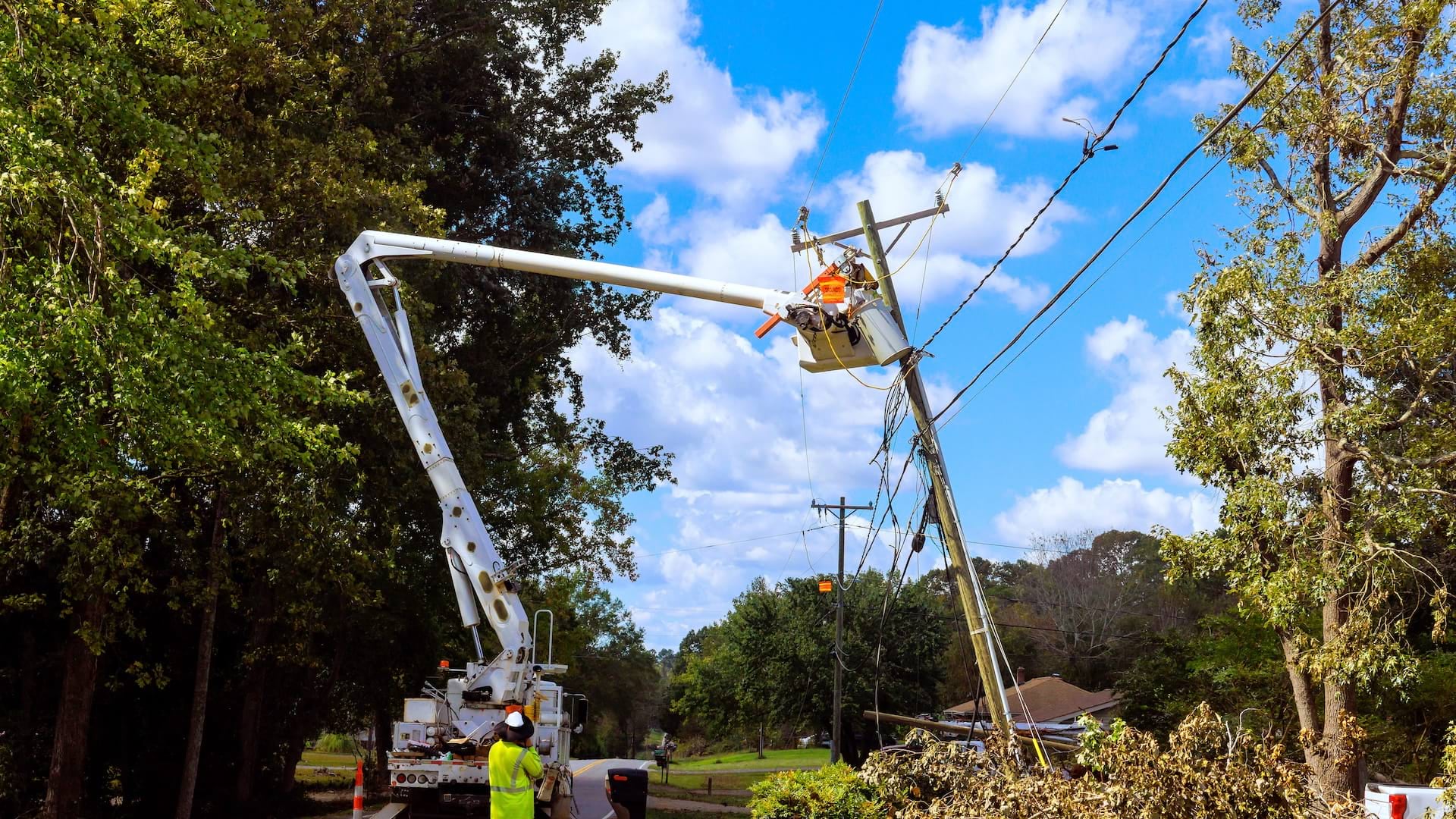
When a folder of handwritten damage assessment reports disappeared during a 2015 windstorm, Duquesne Light Company (DLC) lost critical hours restoring power to customers in Pittsburgh, Pennsylvania. Mobile crews waited for assignments, and operations staff couldn’t track which areas DLC crews had already visited to assess damage. The episode exposed paper-based processes, which dated back nearly a century, as a liability for the utility company.
Today, that scenario is nearly impossible. DLC now operates with a fully digital workflow that’s powered by Esri’s ArcGIS Utility Network and . Following a major wind event in March 2026, this combination helped DLC restore power to 95 percent of the more than 165,000 affected customers within two days—a pace that would not have been possible with its previous paper-based processes.
Building a Foundation for Modern Grid Management
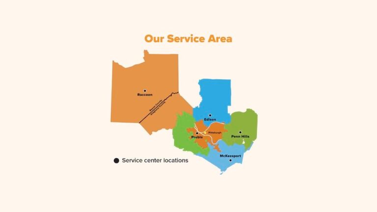
DLC has supplied electric service to southwestern Pennsylvania for more than 100 years, serving about 600,000 customers today with the help of an electric grid that supports reliable delivery. This grid is a massive, interconnected network that delivers electricity from power plants to buildings such as homes, businesses, and hospitals. As grid demands evolved with electric vehicle use, smart city applications, microgrids, and distributed energy resources, the company needed better foundational data to support advanced grid management.
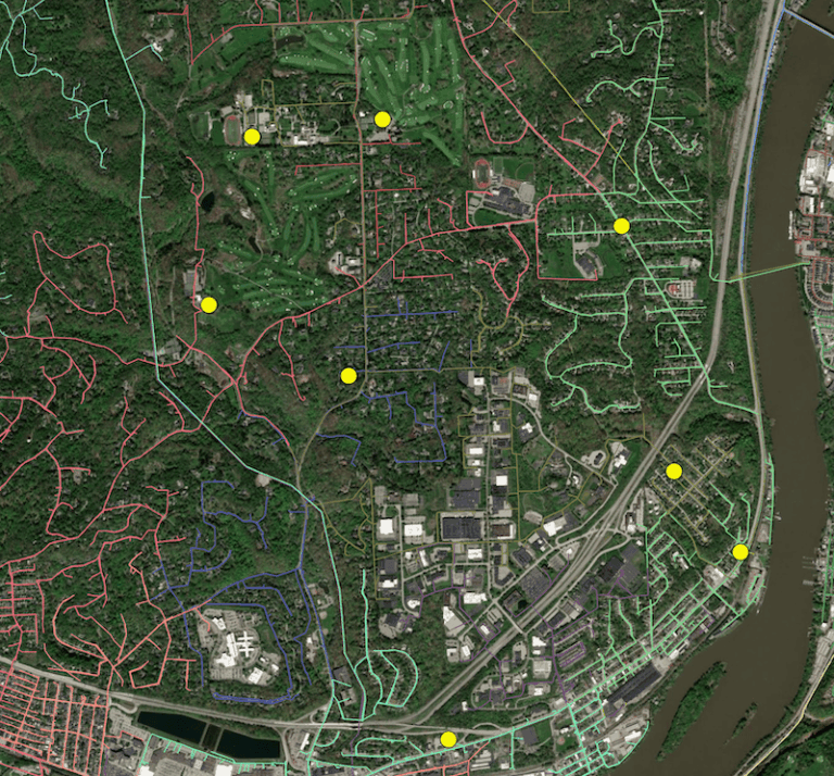
Central to that need was a connectivity model that maps how power flows across the grid, from substation transformers and breakers via distribution lines and poles down to the meter at each customer’s home. Without it, staff couldn’t quickly trace circuits—that is, follow the path of electricity through the network to pinpoint where a problem originated—or predict which customers would lose power when equipment failed. Those limitations became impossible to ignore as new demands, such as grid-feeding solar panels and energy-hungry data centers, began to multiply.
The urgency became clear in the early 2010s, when a surge in solar interconnection requests strained the utility’s manual processes and made it difficult to meet regulatory deadlines. This includes the timelines set by state and federal regulators for approving or denying requests from solar power developers to connect to the grid. Building the connectivity model became the foundation for addressing multiple challenges at once.
A Platform Built for Utility Operations
DLC staff recognized that ArcGIS Utility Network—Esri’s platform for modeling and analyzing complex utility infrastructure—offered capabilities their existing systems could not match. Utility Network facilitates advanced network tracing to help staff understand how electricity flows from substations to customer meters. It also provides real-time connectivity analysis. This enables staff to view the current state of the network and see how making a change to one part of it could affect the rest.
DLC also implemented Schneider Electric’s EcoStruxure ArcFM, a set of built-for-purpose apps that extend ArcGIS Utility Network. While Utility Network provides the foundational digital grid model, EcoStruxure ArcFM adds the utility-specific workflows, data quality tools, and automation required to integrate GIS, operational technology, and IT systems.
Built as a plug-in for ArcGIS Pro, EcoStruxure ArcFM Pro keeps accurate asset information accessible around the clock and automates complex approval processes. Additionally, it can be used by operators performing quality control checks on network data.
EcoStruxure ArcFM includes Session Manager, a tool that controls editing workflows and helps ensure that the appropriate DLC staff work with the right data at the right time. Two other apps—EcoStruxure ArcFM Web and EcoStruxure ArcFM Mobile—extended GIS to additional staff members. EcoStruxure ArcFM Web is a browser-based app that allows office staff and dispatchers to run network traces and interact with GIS data without specialized desktop software. EcoStruxure ArcFM Mobile lets mobile crews access and update geospatial data in completely disconnected environments, with changes synchronized automatically when connectivity returns.
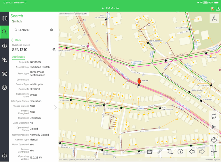
“[EcoStruxure] ArcFM takes the core capabilities from Utility Network and then layers on additional intelligence and validation to those edits,” says Matthew Crooks, GIS product management lead at Schneider Electric.
Managing Change Across a Large User Base
During an implementation project that lasted about four years, DLC brought together stakeholders from information technology, mobile operations, engineering, and customer service. This collaboration helped integrate the new Utility Network and EcoStruxure ArcFM system with existing DLC tools and processes.
Jennifer Smith, GIS product owner at DLC, says successful adoption required showing staff how their familiar tasks worked with the new tools.
“The most important thing that we did to help with the transition was mapping workflow changes,” Smith says. “It was about showing how you used to do your job yesterday and then how you do that exact same thing in the software today.”
DLC conducted listening tours, road shows, and on-site office hours for about 18 months to offer training sessions and gather feedback. The GIS team reached more than 800 users across the organization, including about 250 mobile users. The same disciplined approach shaped how the GIS team configured the technology itself, with staff finding that the solution’s robust commercial off-the-shelf (COTS) capabilities helped limit costly customization.
Responding Faster During Storms
The new connectivity model transformed how DLC responds to emergencies. When customers report outages, the ArcGIS Utility Network connectivity model feeds DLC’s outage-management system with current information about which equipment serves which customers. The system works backward from each affected location to identify the piece of equipment, such as a transformer or switch, whose failure is responsible for the impacted customers in an area. As additional calls arrive or smart meter data confirms more outages, the system groups all this related data under that single failed piece of equipment, so a crew is dispatched only once to fix the root cause.
The system also changes the ticket priority based on the number of customers without power. Critical facilities, such as hospitals and water authorities, are flagged so that their outages are automatically pushed to the top of the restoration queue.
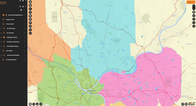
For example, during the March 2026 wind event, about 2,500 trouble tickets required rapid triage—assessing, prioritizing, and organizing repair efforts based on urgency and severity. Smith assisted with storm dispatching, using ArcFM Web to group geographically clustered outages and assign multiple jobs to individual investigators.
“They were able to drive around the neighborhood and hit all the jobs in that area, saving us a ton of time,” says Smith.
Benefits Across the Organization
Beyond storm response, EcoStruxure ArcFM has improved daily workflows. The ArcFM Validation Assistant flags data errors—such as a meter recorded as being connected to the wrong transformer, or a line segment with a missing attribute—in plain language and suggests fixes. This has helped DLC achieve 99 percent accuracy in identifying which transformer supplies power to each customer’s meter.
Having this meter-to-transformer relationship information is important for utilities to balance electrical loads, prevent equipment failures, route maintenance crews during outages, and detect energy theft or meter tampering.
The system automatically tracks who edited the data and when, and runs quality checks that previously required manual effort. It then sends accurate, time-stamped information to DLC’s engineering, metering, and control room departments so that staff can make decisions based on the current state of the grid.
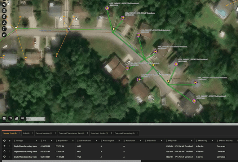
“From a data perspective, the results are incredible,” says Smith. “Customers have [a] more accurate estimated time of restoration, and they have visibility into where a crew is in relation to their ticket and job through our outage map.”
Automated messaging, online outage reporting, and interactive restoration tools reduce the need for customers to call in.
Crooks described DLC as a model for others considering similar implementations.
“DLC has been an exemplary [EcoStruxure] ArcFM customer because of their ability to adapt,” he says. “Their organization is very agile, which I think is a key component.”
DLC’s recent expansion of ArcGIS Utility Network and EcoStruxure ArcFM to substations, as well as the company’s planned expansion to transmission facilities, suggests DLC’s shift from paper-based processes to digital grid management is far from complete. The utility now pairs that century of operational knowledge with a digital grid model that gives staff real-time visibility into the electrical system—something paper records could never provide.
For more information, contact Jennifer Smith at Duquesne Light Company at jlsmith@duqlight.com or Matthew Crooks at Schneider Electric at matthew.crooks@se.com.