Esri Press just published four new books, including two that give readers a good grounding in the fundamentals of using Esri ArcGIS Desktop 10.8 to create, analyze, manage, and share geographic information.
A third book focuses on using GIS in the utilities industry, while the fourth delves into how GIS is being used in various places throughout the world to plan more resilient communities.
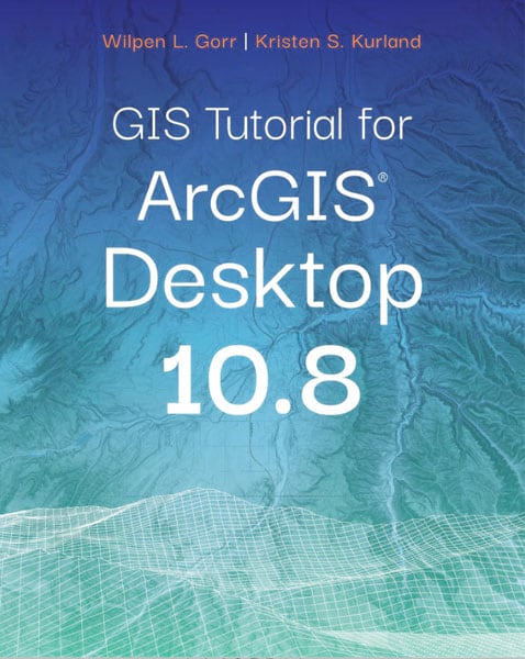
GIS Tutorial for ArcGIS Desktop 10.8
The go-to workbook for readers who are new to ArcGIS software is GIS Tutorial for ArcGIS Desktop 10.8, written by Wilpen L. Gorr and Kristen S. Kurland. The authors share the basics of using and making maps and working with and analyzing spatial data. Gorr and Kurland developed the book based on teaching material they used in GIS courses at Carnegie Mellon University in Pittsburgh, Pennsylvania, and during GIS workshops geared for professionals. It’s one of the most popular books that Esri Press publishes.
In addition to learning the tools and functionality in the ArcMap application, readers will work with three ArcGIS extensions for the following tasks:
· ArcGIS 3D Analyst—Creating 3D scenes, conducting fly-through animations, and analyzing landforms
· ArcGIS Spatial Analyst—Creating and analyzing raster maps
· ArcGIS Network Analyst—Solving complex routing problems and finding the best location for facilities based on demographics and other factors

Each chapter contains step-by-step instructions on how to complete the tutorial, along with maps and other graphics that illustrate the steps. Readers will learn how to do everything from launching ArcMap and labeling features to geocoding addresses and conducting a site suitability analysis. Most chapters also include interesting assignments such as selecting the best sites for new farmers markets in underserved areas of Washington, DC, analyzing the population in California
cities that could be at risk for earthquakes, and estimating heart attack deaths outside of hospitals by gender.
The book comes with exercises and assignment data that can be downloaded along with a free trial of ArcGIS Desktop software.
Gorr is emeritus professor of public policy and management information systems at the Heinz College of Information Systems and Public Policy at Carnegie Mellon University, where he researched and taught GIS applications.
Kurland is a teaching professor of architecture, information systems, and public policy at the H. John Heinz College and School of Architecture, Carnie Mellon University. She also teaches GIS, building information modeling, computer-aided design, 3D visualization, infrastructure management, and enterprise data analytics at the university.
(Print edition ISBN: 9781589486140, $59.95; e-book edition ISBN: 9781589486157, $59.95)
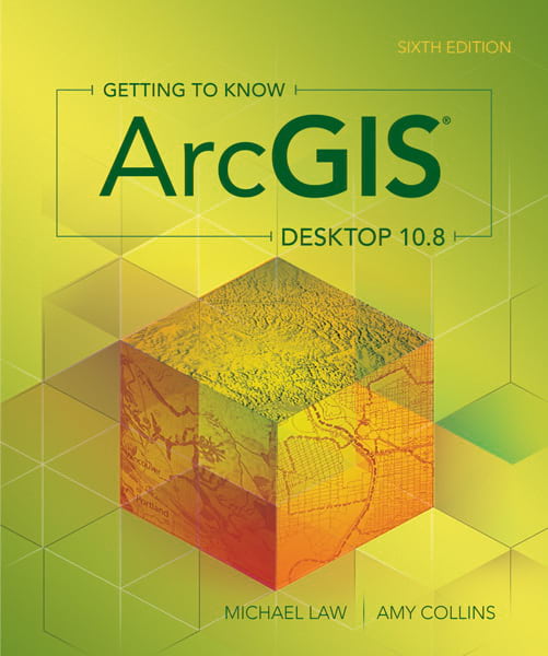
Getting to Know ArcGIS Desktop 10.8
Readers who want to learn how to use ArcGIS Desktop software will benefit from Getting to Know ArcGIS Desktop 10.8. It’s the sixth edition of the authoritative textbook that teaches the fundamentals of making maps, performing spatial analysis, and building and editing spatial databases. Readers will mainly use the ArcMap application to do the exercises in the book.
The book includes exercises that cover the following common tasks:
· Interacting with maps and data
· Working with ArcGIS Online, which is integrated into ArcGIS Desktop applications
· Working with coordinate systems and projections
· Symbolizing, classifying, and labeling features
· Making maps for presentations
· Building geodatabases
· Creating and editing features
· Geocoding addresses
· Querying data
· Selecting features by location
· Joining and relating data
· Preparing data for analysis
· Geoprocessing vector data
· Using ArcGIS Spatial Analyst to analyze spatial relationships

Getting to Know ArcGIS Desktop 10.8 is meant to be a workbook for both students and professionals who are just getting started in GIS. The book includes access to a free, 180-day trial of ArcGIS Desktop, along with the data needed to do the exercises.
Michael Law and Amy Collins are the authors. Law is a cartographer and GIS professional with more than 15 years of experience. He worked as a cartographer for Esri, developing cartography for books, editing and testing GIS workbooks, and editing the Esri Map Book. Collins is a freelance writer and editor with more than 16 years of GIS experience. She worked at Esri as a technical editor, sharpening her GIS skills and designing effective instructional materials. She continues to help develop GIS education books.
(E-book edition ISBN: 9781589485785, $99.99)
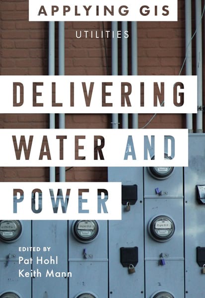
Delivering Water and Power: GIS for Utilities
Esri Press is launching its Applying GIS series of books meant to inspire readers to become spatial thinkers by telling stories about how peers in their field use GIS and what they have accomplished using the technology. The first book in the series is Delivering Water and Power: GIS for Utilities.
It’s a collection of short stories from utilities around the world—from Austin Utilities in the US to the Dubai Electricity and Water Authority (DEWA)—chronicling how these organizations apply GIS in their operations. It’s meant to be a guide for other utilities that are considering using location intelligence in these four areas: resiliency and reliability, operational flexibility, safety and security, and customer care. The stories underscore how GIS can be successfully used to visualize and analyze data to increase situational awareness, make operations more efficient, better respond to emergencies, and improve communication with customers.
The resilience and reliability section of the book focuses on how utilities integrate GIS with data coming in from real-time sensors to prevent power outages and provide improved customer service. For example, the Elvia electric utility in Norway collects data from smart, wireless sensors that feeds into ArcGIS for analysis and visualization. In that way, the utility can monitor issues, such as overheated power equipment, that can cause power outages.
The second section of the book focuses on using GIS to make daily operations more efficient. The case study on Greenville Utilities Commission, an organization in North Carolina, shows how the utility used ArcGIS technology to create dashboards that display in maps, charts, and gauges its operational information on odorant monitoring, gas leak identification, incident reporting, and gas meter maintenance, to name just a few examples.

The book’s third section deals with the use of GIS for safety and security and how mapping and analysis can be used to manage emergencies and respond to disasters ranging from gas leaks to hurricanes or earthquakes. For example, Brunswick Electric Membership Corporation (BEMC) in North Carolina used GIS to respond to and recover from damage caused by Hurricane Matthew in 2016. “Web maps were a game changer for BEMC and are now standard for every storm,” GIS supervisor Samuel Puschaver of BEMC said in the book. “Our decision-makers really appreciate a clear picture of real-time field conditions.”
The last section zeroes in on customer care and how GIS can be used to communicate better with customers, get their feedback about issues, and then analyze that information. DEWA, for example, made available to the public the Shams Dubai Calculator. This online GIS application uses the analytic capabilities of ArcGIS to calculate solar panel suitability for any roof in Dubai plus determine potential energy production, cost savings, and benefits to the environment.
Each section of the book ends with ideas and strategies on how to get started with GIS that relate to the topics just discussed. “You can use this book to identify where maps, spatial analysis, and GIS might be helpful in your work and then, as next steps, learn more about those resources,” wrote the book’s editors, Pat Hohl and Keith Mann. Download the PDF to access these resources.
Hohl is the director of electric industry solutions at Esri. He oversees the planning and execution of Esri’s go-to-market strategies in the electric utility industry, mainly in the United States. Hohl helped pioneer the use of GIS for electric utilities. He has more than 35 years of experience in engineering, operations, technology, and executive management.
A product engineer for Esri Press, Mann works with authors to shape their ideas and expertise into books that promote the power of spatial thinking using maps and GIS.
(Print edition ISBN: 9781589486751, $19.99; e-book edition ISBN: 9781589486768, $19.99)
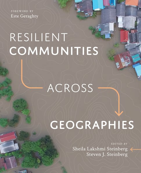
Resilient Communities across Geographies
The new book Resilient Communities across Geographies uses case studies to show how GIS tools and geodesign techniques can be used to create resilient communities. If communities are resilient, it means they can more easily withstand and bounce back from challenges including climate change, natural disasters, and health and welfare concerns such as the COVID-19 pandemic.
Esri chief medical officer Este Geraghty notes in the book’s foreword that resilience—the capacity to quickly recover from threats and other difficulties—is always a “worthy goal” that, while unlikely to be completely achievable, is always something to strive toward and a process to continually try to improve. The book covers a variety of topics, from resilience in coastal regions threatened by climate change to resilience in urban areas that face problems such as income inequality or higher COVID-19 risks. “Through [these] examples, readers will be able to discern patterns of theoretical frameworks, analytical methods, and GIS applications that will undoubtedly be relevant to their own fields of interest,” Geraghty wrote.

The case studies demonstrate how GIS does the following:
- Integrates qualitative, quantitative, and spatial data to produce a holistic picture of why resilience is needed
- Provides tools to capture and integrate knowledge of local people, places, and resources
- Offers users the ability to visualize data in a map or dashboard in real or near real time, assisting in decision-making
- Gives users the ability to see patterns in the data and share information about what the data signifies
- Helps people visualize an action plan by layering information together to see what steps need to be taken and how policies can be put into place to manage and improve resilience in the community
One chapter in the book outlines the geodesign methodologies that can be used to plan resilient communities. Readers will learn how participants in a University of Georgia geodesign workshop used GIS tools and geodesign methodologies to create a negotiated, comprehensive plan for Chatham County, Georgia. For this exercise, the participants created maps with Esri technology that showed areas in the county that, for example, were vulnerable to climate change and areas that were highly attractive for commercial or industrial uses.
Another chapter focuses on the use of spatial analysis by Loyola Marymount University’s Center for Urban Resilience to study ecosystem resilience in five areas that have a Mediterranean climate: central Chile, Western Cape of South Africa, the region bordering the Mediterranean Sea, the state of California in the United States, South West Australia, and South Australia.
Other chapters emphasize spatial thinking in creating social and environmental resilience and community empowerment in economically disadvantaged areas and the use of public participation in GIS to study pesticide drift in farmworkers’ communities in California.
Sheila Lakshmi Steinberg and Steven J. Steinberg are the coeditors of the book. Sheila Lakshmi Steinberg is a professor of social and environmental sciences at Brandman University, where she also chairs the GIS committee that is tasked with incorporating GIS throughout the curriculum. Steven J. Steinberg serves as the geographic information officer (GIO) for the County of Los Angeles, California, and has taught GIS during his tenure as a professor of geospatial science at California State University.
“We see the value and the power of GIS to allow people in various places around the world to achieve the best of what they can be,” the authors wrote. “Our goal in writing this book was to share these stories by our contributing authors and to help readers develop an expanded sense of the power of GIS to address the difficult problems we collectively face in an ever-changing world.”
(Print edition ISBN: 9781589484818, $49.99; e-book edition ISBN: 9781589484825, $49.99)

